Länsstyrelsen Skåne län
Välkommen till Skånes fantastiska natur!
Användare av Naturkartans app för Android rapporterar i sommar att appen är seg mm. Vi rekommenderar att man raderar appen helt från sin telefon i så fall och laddar ned igen! Då skall den fungera bättre. Den befintliga appen skall ersättas av en ny app efter sommaren. Den gamla appen laddar all data för hela landet lokalt i appen (för att klara offline-läge) men det innebär att den blir för stor för vissa telefoner - då behöver den raderas och laddas ned igen!

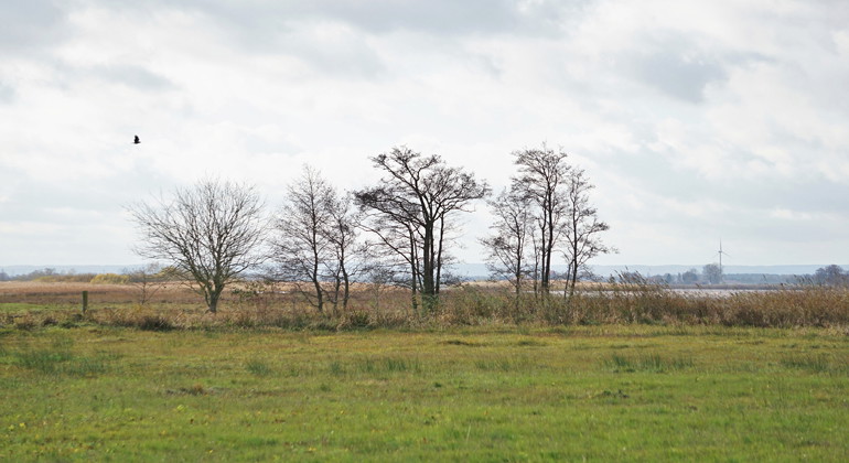
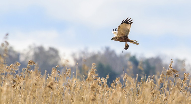
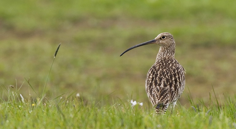
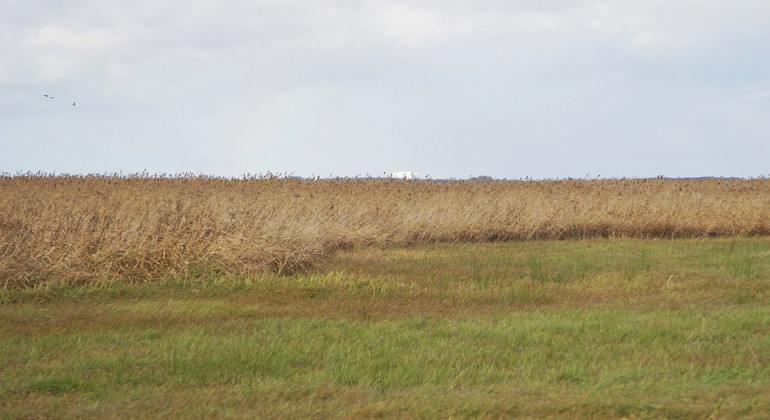
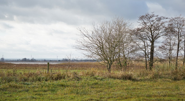
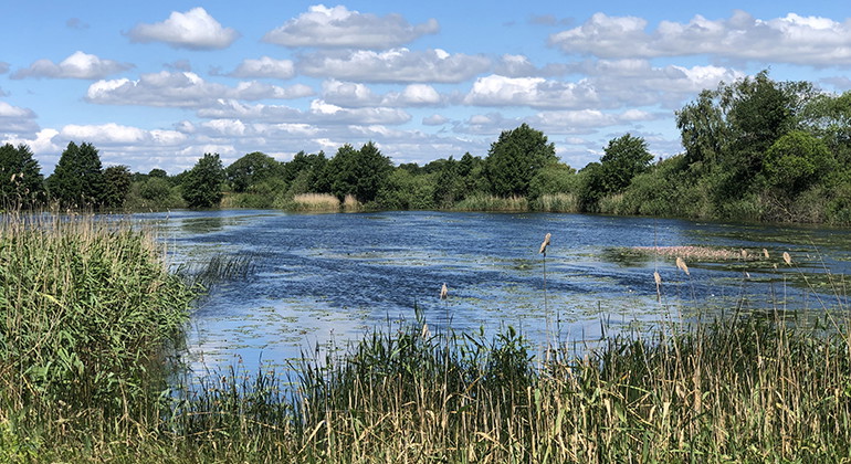
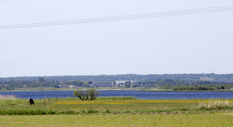
Difficult to access. So visit the adjacent reserves instead. The flat meadows in the Rinkaby and Horna meadows reserve are strongly characterized by the varying water level in Helgeå. During spring and fall, large parts of the meadows are under water. However, they are not difficult to access for many wetland birds. Among other things, curlew, curlew, dunlin and shoveler nest in the area.
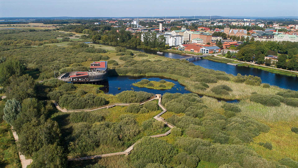
The flat coastal meadows at Rinkaby and Horna are strongly characterized by the varying water levels in Helgeå and Hammarsjön. In the summer, the levels are around sea level, while in connection with heavy autumn rains and spring snowmelt, the levels are often more than 1 meter above sea level. Large parts of the meadows are then under water.
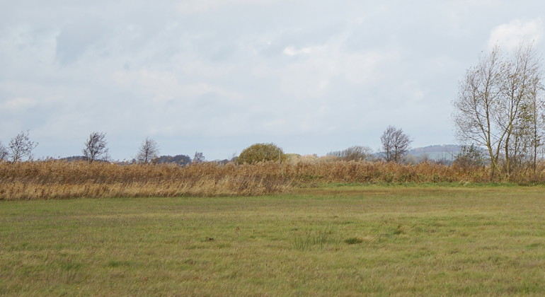
The hay meadows and pastures are dominated by tufted sedge and various species of sedge, but there are also almond blossom, ground thistle and hay rattle. In the southern part there is an area with a richer flora.
The managed shore lands are important for many wetland birds. Among other things, curlew, curlew, dunlin and shoveler breed in the area. Large numbers of ducks and geese rest during migration periods.
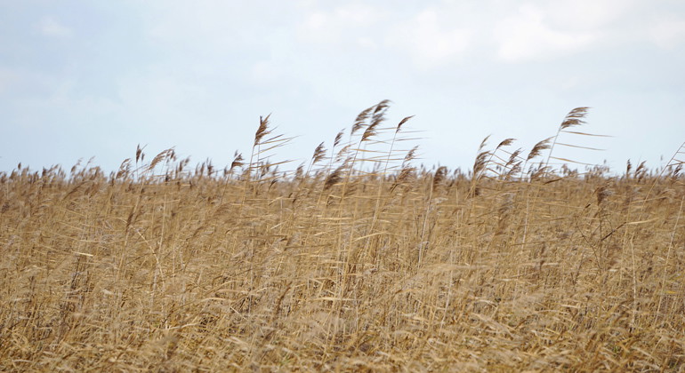
In the northern part of the reserve, reed and willow shrublands spread out. They form a large contiguous area together with similar areas within the Hercules Nature Reserve and provide an important habitat for various species favored by overgrowth. For example, the bittern, brown harrier and rosefinch thrive here.
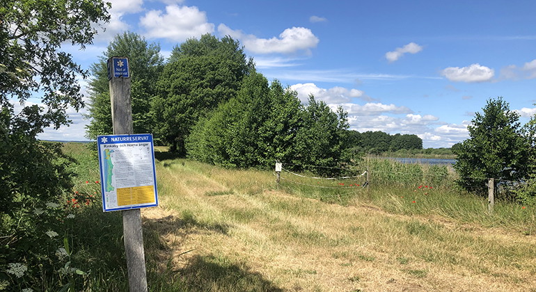
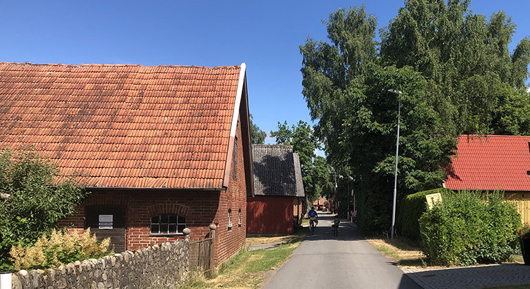
Rinkaby and Horna meadows are difficult to access for the public and visitors are instead referred to the nearby reserves Hercules Link to another website. or Håslövs ängar Link to another website. where good parking facilities and hiking trails are available. Just north of the reserve Rinkaby Horna ängar is the culturally and historically interesting radbyn Rinkaby.
Established: 2002
Size: 192 hectares
Municipality: Kristianstad
Manager: County Administrative Board of Skåne
Protection type: Nature reserve and Natura 2000
Walk, cycle, take public transport or drive here. On the map, you can click on a parking lot or access point. For directions, click on the 'Find here' arrow (below the map).
**Within the area, special rules and restrictions apply to the right of public access.
For example, it is forbidden to:
It is important to note that this is only a selection of the rules.
In addition to regulations and prohibitions in other laws and regulations, it is forbidden to:
Furthermore, it is prohibited without the permission of the County Administrative Board:
10. organize military exercises, competitions, camps or other training activities.
Under LÄNKAR kommer du till aktuell reservatssida på Länsstyrelsens webbplats, med fördjupande information som kartor, broschyrer och hänvisning till relevanta aktörer. Här finns även en rapportfunktion för dig som vill lämna uppgifter om naturreservaten som vi förvaltar.
Still et spørsmål til andre brukere av Naturkartan.
0 anmeldelser
Ingen brukerbilder ennå. Bli den første til å dele!