
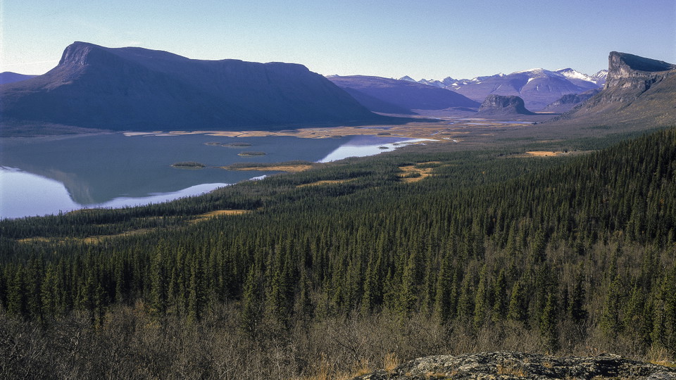
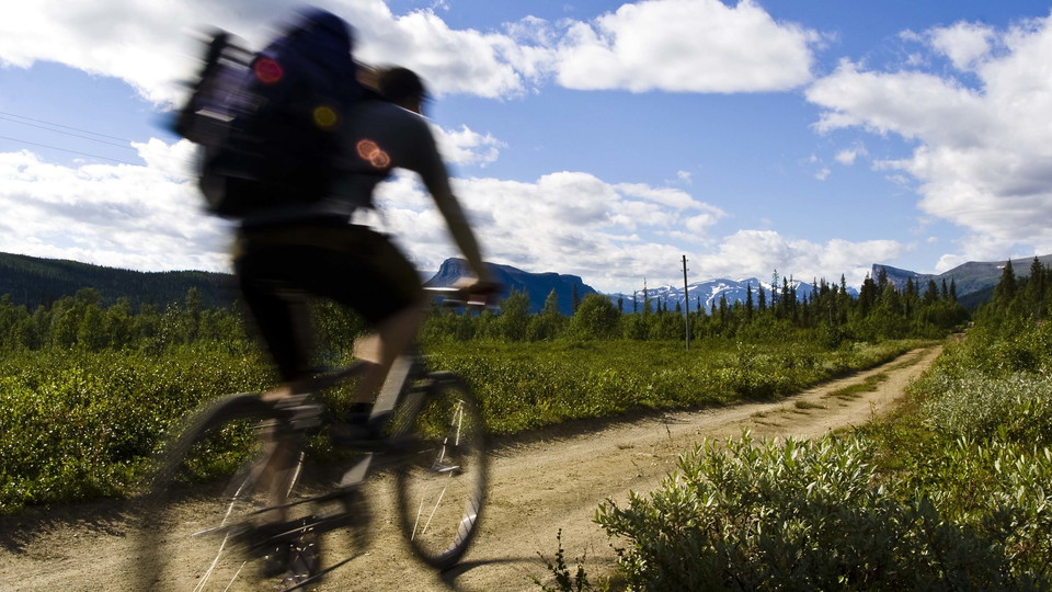
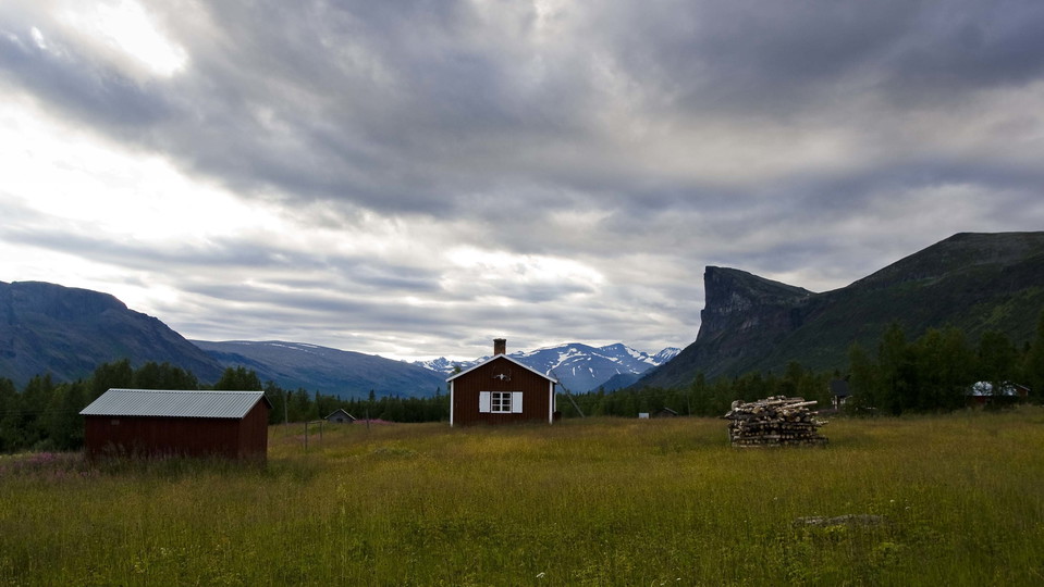
Vandringsled BD64 mellan Aktse och Sitoälvsbron
- Fotturer
- Fylke: Norrbottens län
- 6422.41 km fra deg
Detaljer om stien
- Lengde 6.0 km
Handlinger
Beskrivelse
Aktiviteter og fasiliteter
- Fotturer
Underlag
Easily-hiked surface, with stretches of plankway.
Kommunikasjon
From Sito river bridge, it is a 10 kilometre hike, or bike ride along a gravel road (the cycle trail) to the boat landing at Guolleluoppal. There is a road from Tjåmotis to Sito river bridge (20 km). There is free parking at the bridge. You can take a bus from Jokkmokk to Tjåmotis (75 km).
Kontakt
E-postadresse
Länsstyrelsen Norrbotten
Organisasjonens logotype

Jeg har vært her 10



Jeg ønsker å dra hit 14

Omtaler
—
0 anmeldelser
- 5 :
- 4 :
- 3 :
- 2 :
- 1 :
Spørsmål og svar
Still et spørsmål til andre brukere av Naturkartan.
Brukernes bilder
Del bildene dine fra stedet!
