
Ránesvárre
- Naturreservat
- Fylke: Norrbottens län
Handlinger
Beskrivelse
The
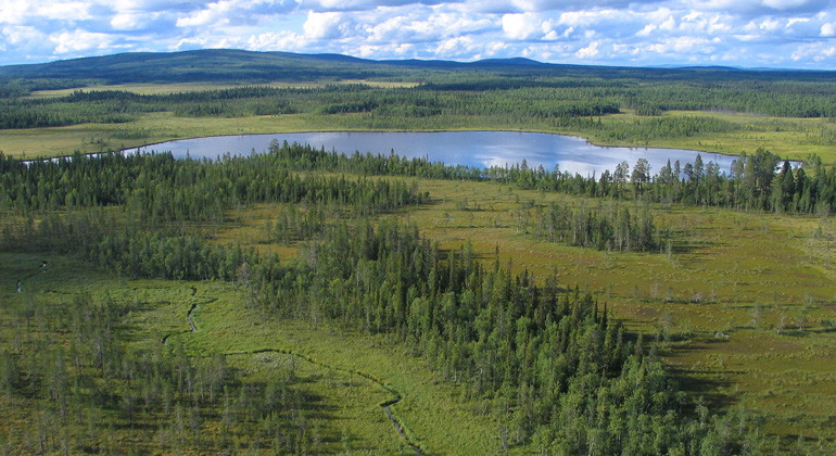
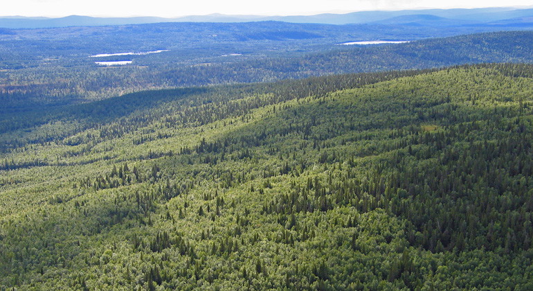
Ránesvárre Nature Reserve offers a stunning mix of forested mountains and vast
wetlands, making it an important refuge for birds, animals, and plants.
While
the wetlands can be difficult to traverse in summer, they are perfect for
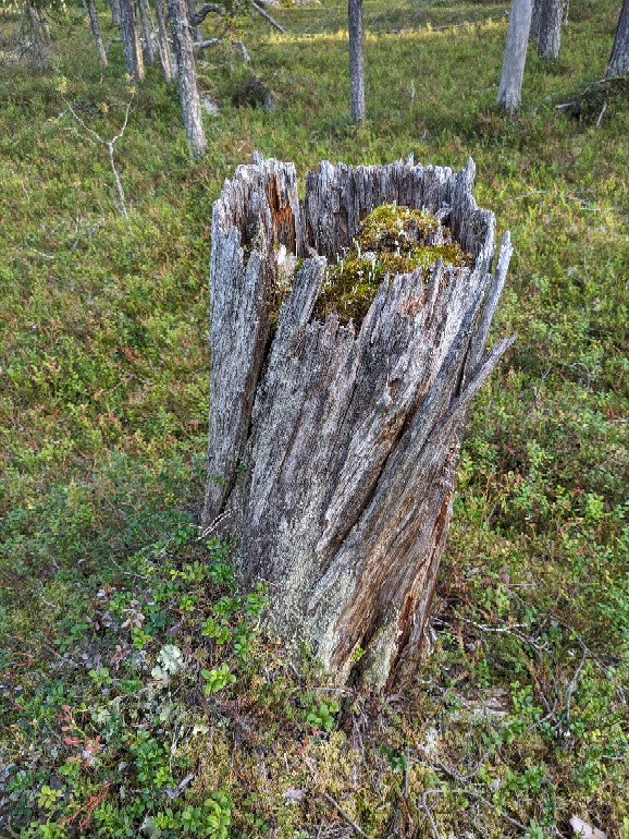
skiing during late winter. The reserve’s mountains, Björkberget and Granberget,
feature ancient forests on their upper slopes, dominated by spruces and
300-year-old pines.
A wildfire in 1933 created a unique birch forest on
Granberget, covering an area equivalent to 3,600 football fields.
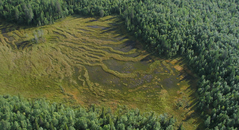
The wetland
landscape is diverse, with several unique types of mires, providing valuable
habitats and a fascinating natural setting.
Aktiviteter og fasiliteter
- Naturreservat
Fakta
Municipality: Jokkmokk and Gällivare municipalities
Established year: 2023
Size: Approximately 86.5 square kilometers
Administrator: Norrbotten County Administrative Board
Protection form: Nature reserve
Veibeskrivelse
The nature reserve is located about 45 km northeast of
Jokkmokk. There are several forest roads leading to the reserve's boundary. One
of the more suitable access routes to reach the forested areas is via the main
road through Messaure. From Messaure, drive northeast towards Nietsavare (road
818), then turn east towards Högträsk (road 814).
After about 4 km, a gravel
road branches off to the north, passing through the western part of the reserve
and ending at a turning point (the right one). If you use any of the other
roads, you will mainly reach the wetland areas. The condition of the roads
cannot be guaranteed.
Forskrifter
The following activities are permitted:
- Camping
- Hiking
- Picking berries and edible mushrooms
- Making a fire (remember to bring your own firewood!)
- Driving snowmobiles on well-covered snow
- Fishing and hunting in accordance with applicable laws
It is not permitted to harm plant and animal life. Remember the right of
public access and take care of nature!
Kontakt
E-postadresse
Länsstyrelsen Norrbotten
Organisasjonens logotype

Jeg har vært her 1
Jeg ønsker å dra hit 2

Spørsmål og svar
Still et spørsmål til andre brukere av Naturkartan.
Omtaler
0 anmeldelser
- 5 :
- 4 :
- 3 :
- 2 :
- 1 :
Brukernes bilder
Ingen brukerbilder ennå. Bli den første til å dele!
