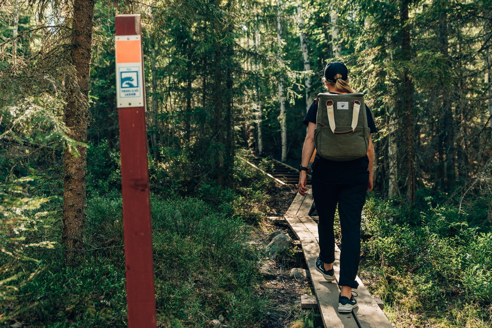
Beste turstier i Umeå

Umeå

Naturkarten samler de turstiene i Umeå som er mest populære blant våre brukere.

Bilder

Kart

41 Beste turstier i Umeå

Fotturer

Tavelsjöleden

  • Kommune: Umeå
  • 6655.60 km fra deg
  • 39.0 km

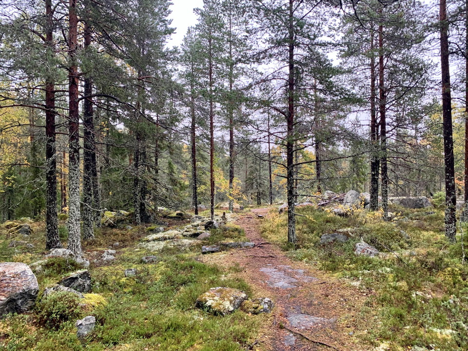
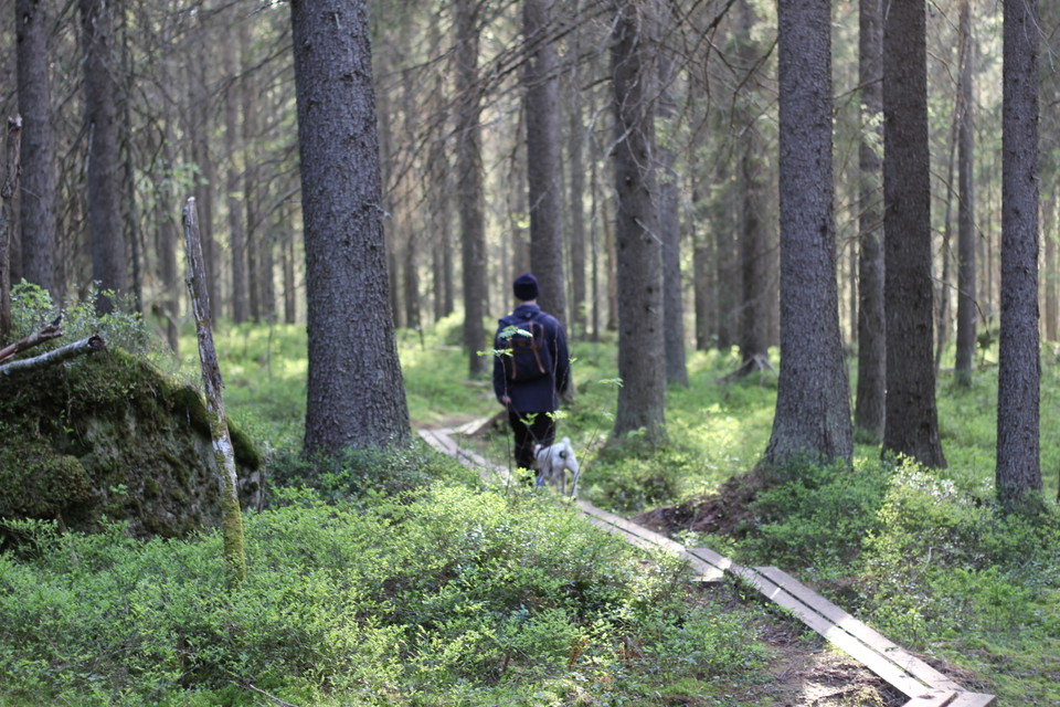
Popular hiking trail which starts near Väven, the cultural centre in Umeå city centre. Discover the caves, climb the mountains and keep an eye open for the mythical Tavelsjö lake monster while you are overlooking the lake! The trail is 42 km long and links…
Fotturer

Grössjön vandringsled

  • Kommune: Umeå
  • 6685.72 km fra deg
  • 9.4 km

There are several marked trails in the area. Grössjön runt is a four-kilometer blue-marked trail around the entire area. There are several picnic areas along the paths.

Fotturer

Hässningberget vandringsled

  • Kommune: Umeå
  • 6674.36 km fra deg
  • 2.7 km

Follow the path from the parking lot at Skravelsjövägen up to the top of the mountain and around the area.

Fotturer

Stora Tuvan, tillgänglighetsanpassad led

  • Kommune: Umeå
  • 6686.44 km fra deg
  • 2.5 km

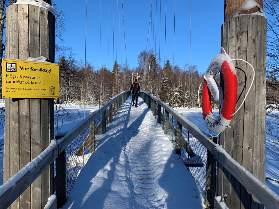
A suspension bridge suitable for both wheelchairs and strollers makes the island of Stora Tuvan accessible from the parking lot. On the island, an accessible ramp leads through lush deciduous forest to the hide. The ramp is also accessible for the visually…

Fotturer

Vandringsled Tavasten

  • Kommune: Umeå
  • 6696.77 km fra deg
  • 4.6 km

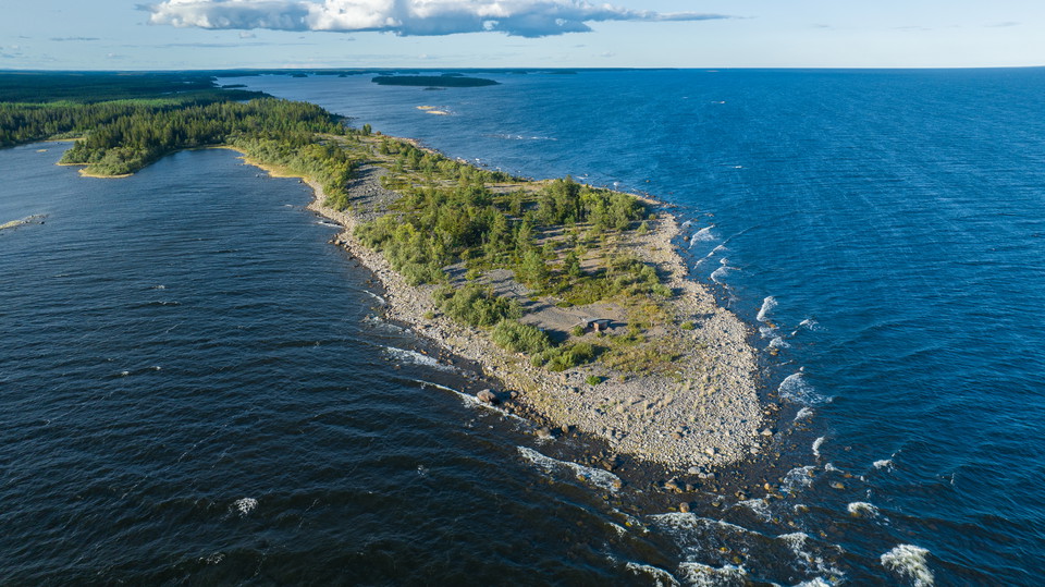
Hike out to Häme peninsula. The entire route is 4.5 kilometers long one way. After 2.5 km you reach a shelter with a barbecue area.

Fotturer

Västermark, vandringsled

  • Kommune: Umeå
  • 6651.18 km fra deg
  • 7.8 km

The 9-kilometer hiking trail takes you around the area and passes Kvarnbäckskojan. In two places the trail crosses Kvarnbäcken.

Fotturer

Långbergskullarna vandringsled

  • Kommune: Umeå
  • 6665.29 km fra deg
  • 3.1 km

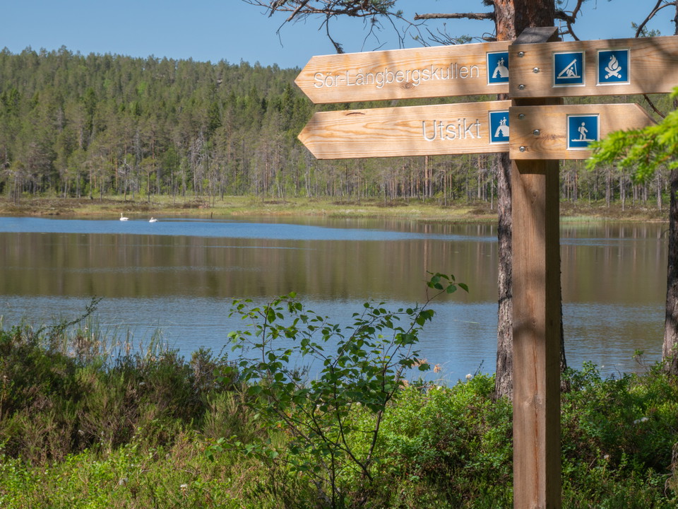
The trail passes the large shingle field and the windbreak at Aldertjärnen. At Aldertjärnen, you can choose to turn off from the circular loop and follow the trail towards the top of Sör-Långbergskullen.

Fotturer

Ängesön Holmöarna, vandringsled

  • Kommune: Umeå
  • 6711.69 km fra deg
  • 15.0 km
  • 5 t 30 min

After the trail there are several nice resting places and at Sikskäret there is a bathing place. Ängesön, south of Holmön, is the second of Holmöarnas two large islands.

Fotturer

Villanäs Umeälvens delta, vandringsled

  • Kommune: Umeå
  • 6687.93 km fra deg
  • 0.9 km

Den slingrande rampen tar dig ut ut till fågeltornet genom granskog, lummig lövskog, buskmarker och över strandängar. Från tornet har du bra utblick över grunda områden och öar i Österfjärden. Fågelskådningen är bäst efter islossningen i april-juni.

Fotturer

Strömbäck-Kont vandringsled

  • Kommune: Umeå
  • 6688.30 km fra deg
  • 1.4 km
  • Vanskelighetsgrad: Grønn

Runt Strömbäck-Kont är vägen så väl preparerad att man tar sig fram med rullstol och barnvagn. Längs slingan kan du uppleva det mesta reservatet har att erbjuda. Många andra stigar finns i området.

Fotturer

Tio toppar Tavelsjö - Krogberget

  • Kommune: Umeå
  • 6666.19 km fra deg
  • 0.5 km
  • 15 min

Krogberget is a typical Umeå mountain. Only when you are at the top do you see how high it is. There are several caves on the mountain. One of them was once used by goats and cattle. It is also rumored that a newlywed couple once celebrated their wedding ni…

Fotturer

Hälsans stig - Umeå

  • Kommune: Umeå
  • 6679.83 km fra deg
  • 9.8 km

The path goes through the central parts over the Old Bridge and all the way to the large Kolbäck Bridge and back. Lots to see on the way.

Fotturer

Tio toppar Tavelsjö - Vallberget

  • Kommune: Umeå
  • 6660.64 km fra deg
  • 0.8 km
  • 55 min
  • Vanskelighetsgrad: Svart

Five lakes, one sea, five lighthouses and one city! The top of Vallberget offers a view for miles. On clear days you can see Holmöarna in the distance and with binoculars the lighthouses Stora Fjäderägg, Bergudden, Holmögadd and Nordvalen. With extremely go…

Beste turstier i Umeå

Naturkarten samler de turstiene i Umeå som er mest populære blant våre brukere.

Naturkartan

Åpne dette i appen