
Beste turstier i Strömstad

Strömstad

Naturkarten samler de turstiene i Strömstad som er mest populære blant våre brukere.

Bilder

Kart

19 Beste turstier i Strömstad

Fotturer

Krokstrand - Högstad, Bohusleden Etapp 26

  • Kommune: Strömstad
  • 13.3 km
  • 6 t
  • Vanskelighetsgrad: Rød

Bohusledens consists of 27 stages that offer a total of about 35 miles of varied hiking through Bohuslän's beautiful nature. The trail stretches from Älvsåker in the south, on the border with Halland, to Strömstad in the north.

Fotturer

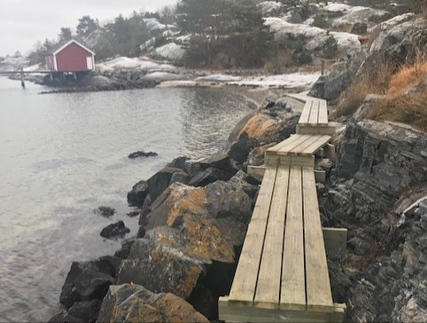
Högstad - Strömstad, Bohusleden Etapp 27

  • Kommune: Strömstad
  • 6513.40 km fra deg
  • 15.0 km
  • 5 t
  • Vanskelighetsgrad: Blå

Bohusledens consists of 27 stages that offer a total of about 35 miles of varied hiking through Bohuslän's beautiful nature. The trail stretches from Älvsåker in the south, on the border with Halland, to Strömstad in the north.
Fotturer

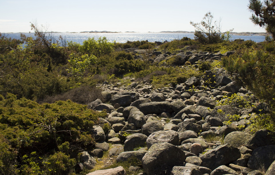
Håvedalen - Krokstrand, Bohusleden Etapp 25

  • Kommune: Strömstad
  • 6522.71 km fra deg
  • 10.9 km
  • 4 t
  • Vanskelighetsgrad: Rød

Bohusledens consists of 27 stages that offer a total of about 35 miles of varied hiking through Bohuslän's beautiful nature. The trail stretches from Älvsåker in the south, on the border with Halland, to Strömstad in the north.
Fotturer

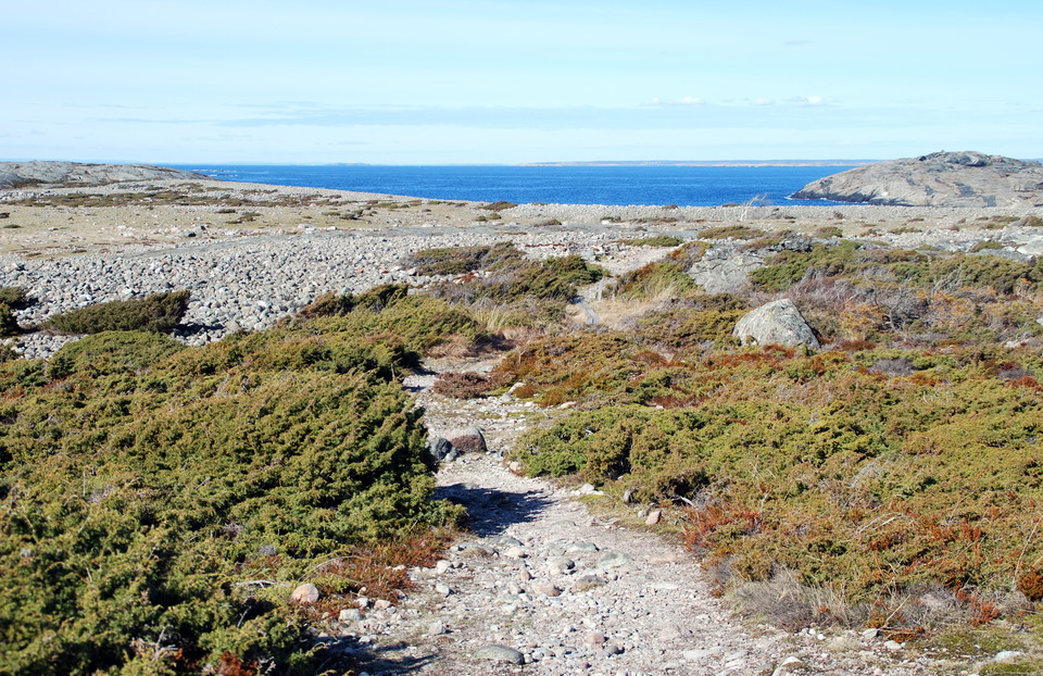
Hälsans stig - Strömstad

  • Kommune: Strömstad
  • 6512.90 km fra deg
  • 6.9 km

Sevärdheter längs stigen. Stadshuset i jugendstil, Lejonkällan, Jättegrytan och Friluftsmuseet Fiskartorpet.

Fotturer

Blå vandringsled Sydkoster

  • Kommune: Strömstad
  • 6508.81 km fra deg
  • 6.4 km

The red marked trail runs between Ekenäs and Brevik via Kilesand and is 6.4 km long. It is a coastal trail that takes you past Nästången and then follows the sea to Kilesand. Over Nästången you can take an easier route at Hattvik if you want to avoid hiking…

Fotturer

Skogsstigen

  • Kommune: Strömstad
  • 6514.10 km fra deg
  • 2.1 km

Forest trail, loop in the pine forest. There are signposts to the beaches. Red

Fotturer

Vandringsled Blå, Sydkoster

  • Kommune: Strömstad
  • 6507.10 km fra deg
  • 7.3 km

The yellow-marked trail runs between Långegärde and Ekenäs via Brevik and is 7.3 km long. The trail runs through a varied landscape such as open pastures, mixed forest and rocks. Some parts can be a little wet. From Långegärde to Brevik, the terrain is vari…

Fotturer

Gul vandringsled Nordkoster

  • Kommune: Strömstad
  • 6505.56 km fra deg
  • 4.8 km

The orange marked trail takes you around Nordkoster. Nordkoster has a more wild and barren character than Sydkoster. The trail is varied and goes through forest, open moors, along beaches and through pastures. In places it is a little rocky, but mostly the…

Fotturer

Seljebågen Kockholmen

  • Kommune: Strömstad
  • 6517.08 km fra deg
  • 2.0 km

The orange trail passes through a forest of red oak and beech and on through the pine forest to the meadow at Yttre Edet. There you can choose to hike out to Sejebågen or to the porphyry passages. The eastern part of the orange trail has more difficult pass…

Fotturer

Blå vandringsled Sydkoster

  • Kommune: Strömstad
  • 6507.10 km fra deg
  • 3.4 km

The blue-marked trail runs between Långegärde and Ekenäs and is 3.4 km long. The trail follows gravel roads and paths along the shore of Kostersundet, through deciduous forest and past open meadows and fields. It is an easy route with no major climbs and fa…

Fotturer

Getestigberget Kockholmen

  • Kommune: Strömstad
  • 6516.91 km fra deg
  • 1.3 km

The trail around Getestigberget provides a wide view of Kosterhavet. The path passes a large hole in the mountain, a formation created by meltwater during the Ice Age. Here you will also find the giant pots. The blue trail over Getestigberget goes through d…

Fotturer

Brun led Sydkoster

  • Kommune: Strömstad
  • 6508.24 km fra deg
  • 2.3 km

The brown trail starts at Naturum. The very first part, up a steep hill with an asphalt road, you walk parallel to the yellow and blue trail. Before the tennis court, turn off towards Rörvik and follow a wider forest path down to the sea. Here you then turn…

Fotturer

Vit vandringsled, Nordkoster

  • Kommune: Strömstad
  • 6505.64 km fra deg
  • 1.5 km

The white marked trail takes you around Nordkoster. Nordkoster has a more wild and barren character than Sydkoster. The white trail follows the highest mountain in Koster, Högen, with its two lighthouses. The trail runs through forests, open moors, along be…

Fotturer

Blå stig Nordkoster

  • Kommune: Strömstad
  • 6506.25 km fra deg
  • 2.6 km

Hiking trail to Björsängen from Basteviken. about 0.6 km. Blue trail markings on poles

Beste turstier i Strömstad

Naturkarten samler de turstiene i Strömstad som er mest populære blant våre brukere.

Naturkartan

Åpne dette i appen