Nyhet!

Nu kan du dela dina bilder på Naturkartan! 📸

Les mer

Beste turstier i Orsa

Orsa

Naturkarten samler de turstiene i Orsa som er mest populære blant våre brukere.

Bilder

Kart

22 Beste turstier i Orsa

Fotturer

Fryksås-Orsa, Siljansleden

  • Kommune: Orsa
  • 6565.57 km fra deg
  • 17.7 km

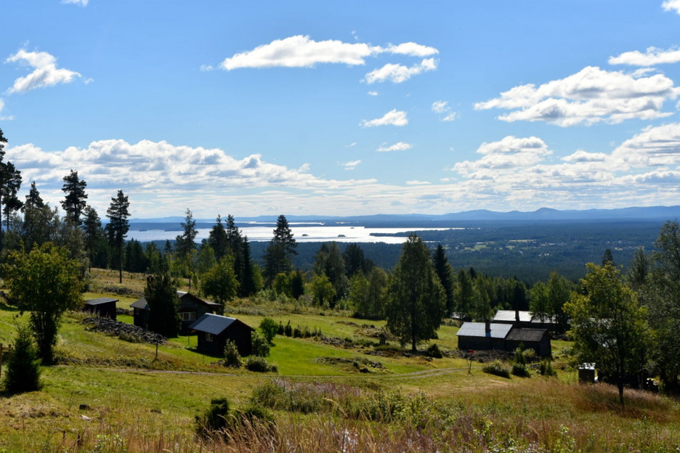
The route starts at Fryksås Fäbodar, which is located on a hill overlooking Lake Orsasjön. The hike is done on a path, both uphill and downhill through a lush forest environment. The route ends in the middle of Orsa. There are no water and food options alon…

Fotturer

Orsa (Orsa kyrka)-Brunnvasselbodarna, Siljansleden

  • Kommune: Orsa
  • 6574.99 km fra deg
  • 14.0 km

From day two, you walk on Dalkarlsvägen, which has the same route as Siljansleden to Rättvik. Between Orsa and Viborg the trail goes through villages and communities. After Viborg village, it continues in varied surroundings such as forests, cultivated land…

Fotturer

Fyra toppar

  • Kommune: Orsa
  • 7.0 km

Trail running/hiking on a path with four peaks to climb.

Fotturer

Vildmarksrundan

  • Kommune: Orsa
  • 6563.57 km fra deg
  • 7.0 km

Here you will find wide, nice trails and sometimes tough hills.

Beste turstier i Orsa

Naturkarten samler de turstiene i Orsa som er mest populære blant våre brukere.

Naturkartan

Åpne dette i appen

