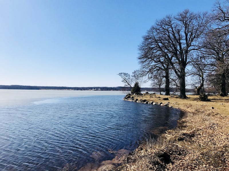
Beste turstier i Katrineholm

Katrineholm

Naturkarten samler de turstiene i Katrineholm som er mest populære blant våre brukere.

Bilder

Kart

31 Beste turstier i Katrineholm

Fotturer

Krämbolsleden

  • Kommune: Katrineholm
  • 6760.09 km fra deg
  • 5.4 km

Krämbolsleden is about 5 km long and runs through varied terrain in the Krämbol outdoor area. The accessible loop is about 3.2 km long and connects to the road from Krämbolsstugan. Along the trail there are information boards about nature. Along the trail y…

Fotturer

Duveholmsleden

  • Kommune: Katrineholm
  • 6764.84 km fra deg
  • 2.0 km
  • Vanskelighetsgrad: Grønn

Dufweholmsleden is a trail that goes around part of Duveholmssjön is very attractive and varied with many nice nature experiences. Follow the markings after the trail and you will get around. There are many connections to the trail so you can choose your ow…

Fotturer

Genneleden

  • Kommune: Katrineholm
  • 6761.14 km fra deg
  • 3.0 km

The trail is about 3 km long. It provides the opportunity to walk around Lillsjön, via Genne and Krämbol without having to go on the highway. It is possible to get there with a stroller. Some slopes can be a little steep. In the area south of Genne, traces…

Fotturer

Vandringsled Forssjö friluftsområde

  • Kommune: Katrineholm
  • 6768.90 km fra deg
  • 3.5 km
  • Vanskelighetsgrad: Blå

A lovely hiking trail of about 3.5 kilometers that takes you through the Forssjö outdoor area and the exciting places Jätten's sink, Jätten's soap dish and Glysa's basement. The hiking trail starts at the parking lot located along Bruksvägen, a short distan…

Fotturer

Lundsjön - Vallmotorp, Sörmlandsleden, etapp 25

  • Kommune: Katrineholm
  • 6763.24 km fra deg
  • 9.0 km

The Sörmlandsleden trail stretches for about 100 miles through Sörmland's varied landscape. The trail is marked with orange markings on trees and poles. Shelters and rest areas are located along the trail. More information is available via the link below. S…

Fotturer

Hälsans stig - Katrineholm

  • Kommune: Katrineholm
  • 9.6 km

Attractions along the trail: Stora Djulö, Herrgårdscaféet and Carl Ugglas park and much more.

Fotturer

Backaleden

  • Kommune: Katrineholm
  • 6761.96 km fra deg
  • 2.0 km

The trail is about 2 km long and goes around Backasjön.

Fotturer

Vandringsled Tornstugan

  • Kommune: Katrineholm
  • 6761.97 km fra deg
  • 0.9 km

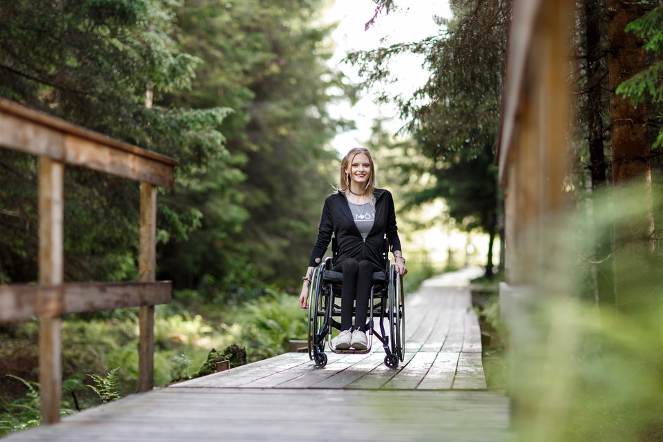
The way to Tornstugan is via a wide path in the forest from the parking lot, by the avenue to Katrineholm's farm. The path, about 900 meters through Tornskogen, is even, wide and suitable for prams and wheelchairs. Tornskogen has the character of a natural…

Fotturer

Vallmotorp - Knorranvägen, Sörmlandsleden, etapp 26

  • Kommune: Katrineholm
  • 6764.62 km fra deg
  • 8.5 km

Sörmlandsleden sträcker sig ca 100 mil genom Sörmlands varierade landskap. Leden är märkt med orange markeringar på träd och stolpar. Vindskydd och rastplatser finns längs leden. Mer information finns via länken nedan. Etapp 26 går mellan Knorranvägen och V…

Fotturer

Ramsjöhults friluftsområde

  • Kommune: Katrineholm
  • 6768.98 km fra deg

Welcome to visit the Ramsjöhult outdoor facility all year round! On the site there is a barbecue area, windbreak and toboggan run for public use. There are marked hiking and skiing trails from Stalls Backe and Laggarhult that lead to Ramsjöhult, and around…

Fotturer

Munkleden

  • Kommune: Katrineholm
  • 6747.69 km fra deg
  • 1.0 km

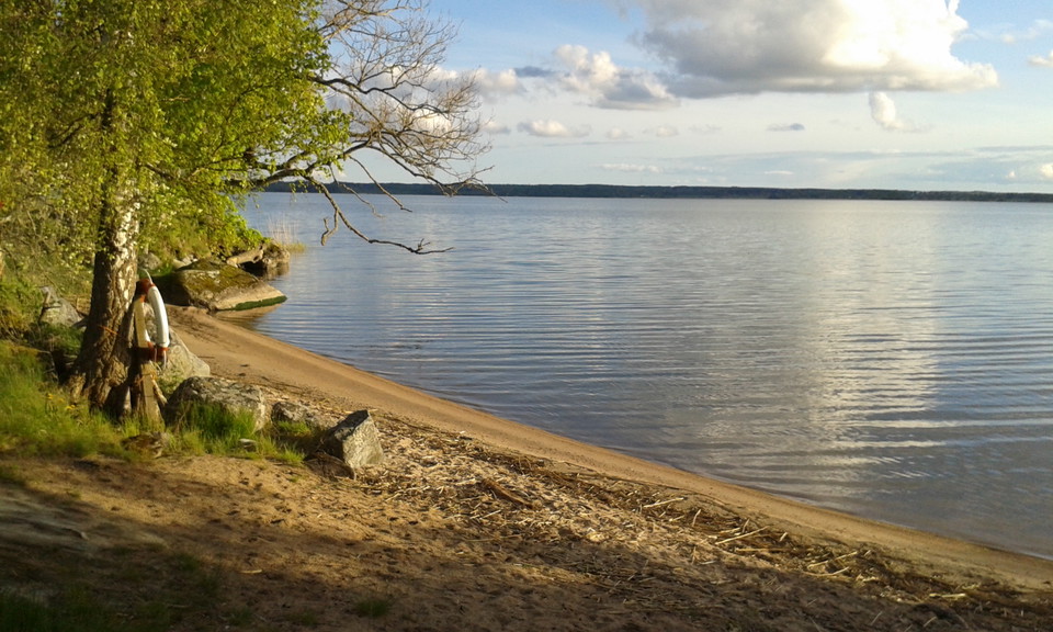
Munkleden is a historical trail that invites you to a pleasant walk along the beach of Öljaren, in Julita. The trail is about 1 kilometer long and marked with signs, which tell about the time of the monks. Munkleden is the path that the monks walked between…

Fotturer

Vandringsled Djulöområdet

  • Kommune: Katrineholm
  • 6765.65 km fra deg
  • 6.9 km

A hiking trail of about 7 kilometers in a scenic environment in the area around Djulö in Katrineholm. The trail takes you along Djulö allé and the western shore of Djulösjön, past Djulö bathing place and campsite and through beautiful deciduous forests wher…

Beste turstier i Katrineholm

Naturkarten samler de turstiene i Katrineholm som er mest populære blant våre brukere.

Naturkartan

Åpne dette i appen