
-
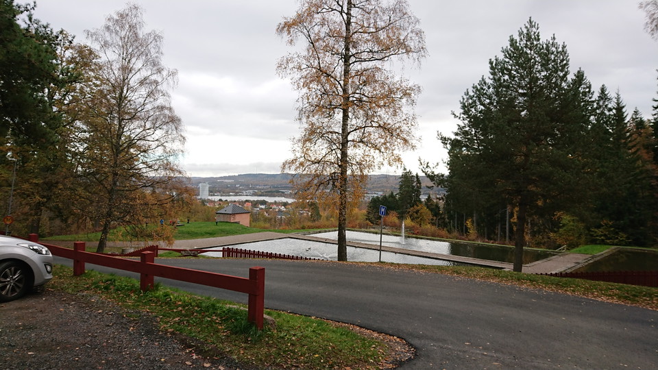
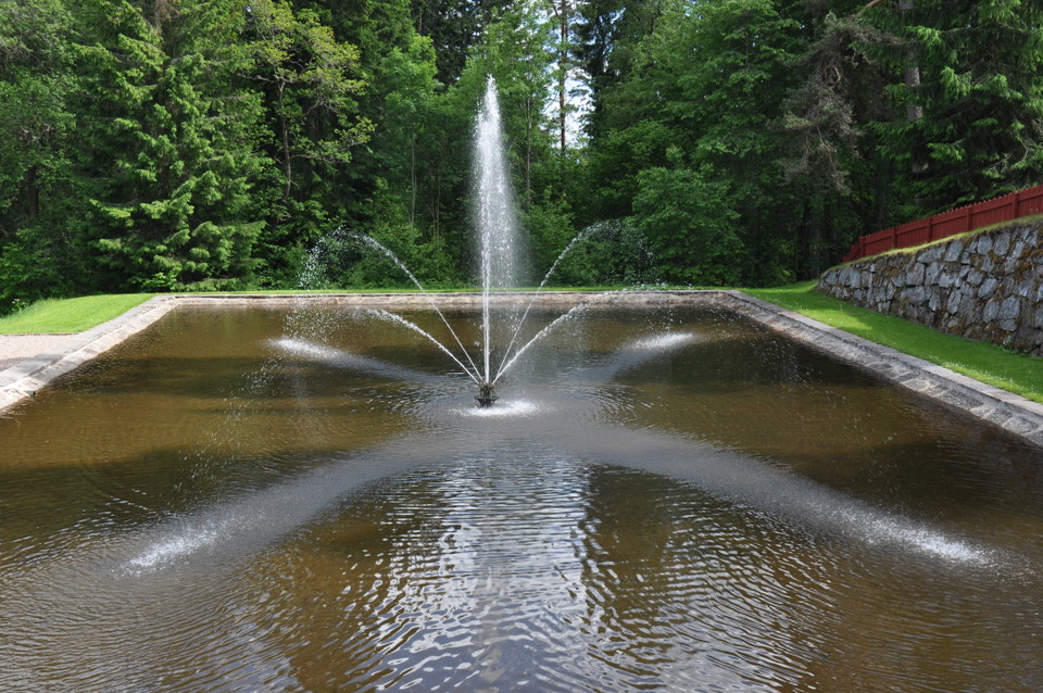
Fontänerna -
-
-
-
-
-
-
-
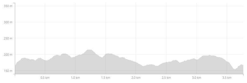
Höjdkurva -

LONA
Vattenledningsparken - Tätortsnära stigar
- Terrengløping
- Fylke: Jönköpings län
- 6726.26 km fra deg
Detaljer om stien
- Lengde 3.8 km
- Vanskelighetsgrad Blå - medium
Handlinger
Beskrivelse
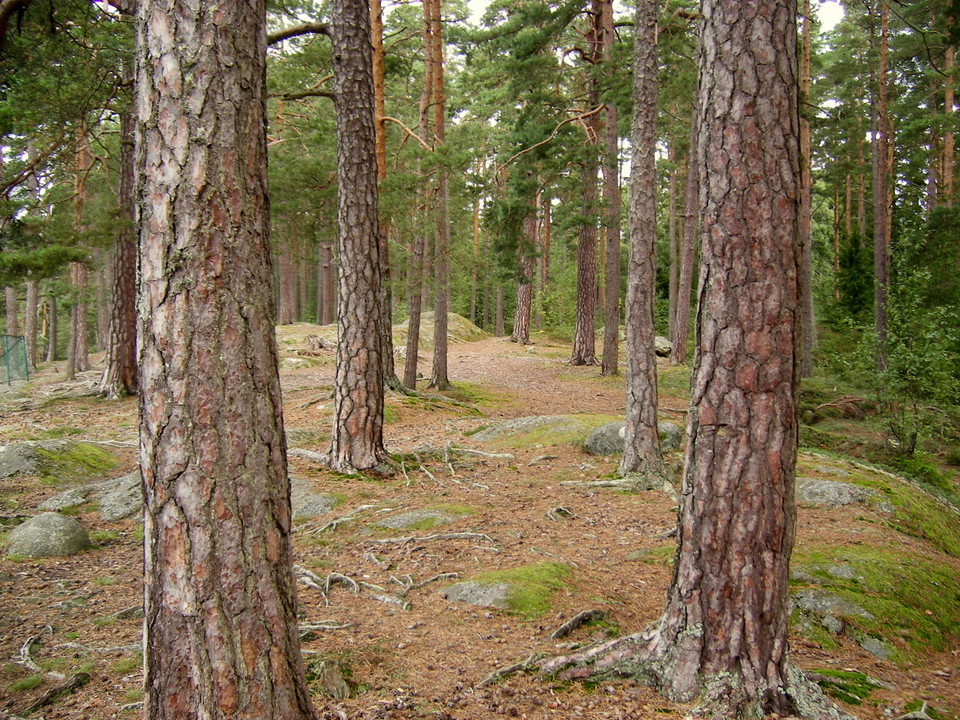
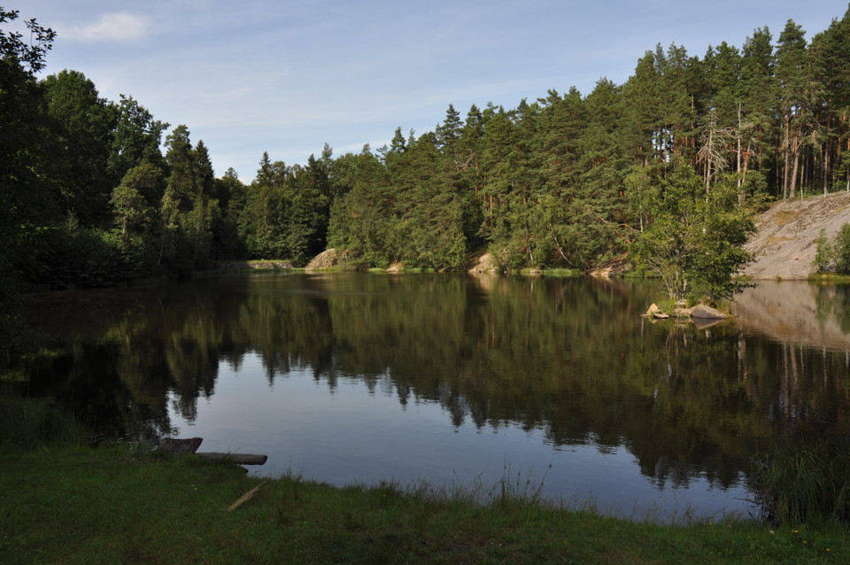
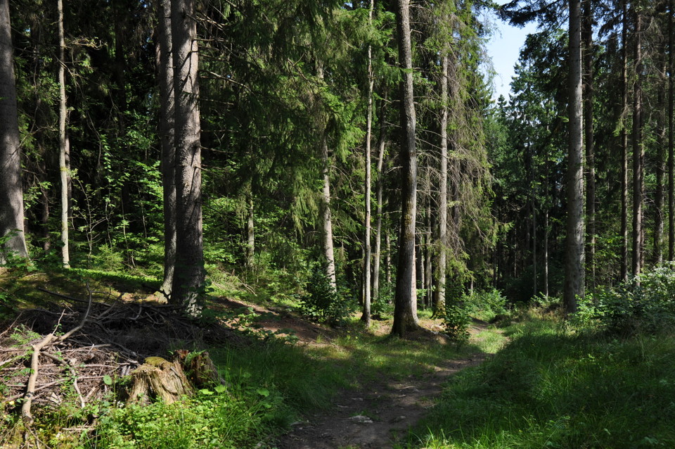
With the city pulse just a few meters away but still with a feeling of being in the middle of nature. Vattenledningsparken offers cozy trail running with both wide, easily accessible gravel roads and winding, narrow paths. As usual in Jönköping, there is the occasional hill as you run around and viewpoints with fantastic views of the city. The start of the run is at the parking lot by the fountains.
Ascent: 144 altitude meters.
The trail is measured with the help of LONA grants.
Aktiviteter og fasiliteter
- Terrengløping
Underlag
Mestadels stigar, bitvis grusväg.
Veibeskrivelse
From Åsenvägen there are road signs to Vattenledningsparken. (https://goo.gl/maps/PtzJJEsRmoCuaSNJ6) Bus 3 towards Tokarp stops at several stops below the outdoor area. Bus 10 towards Mariebo goes to stops north of the water management area.
Kontakt
Adresse
Kontakta oss om du har frågor om Jönköpings natur och friluftsliv.
E-postadresse
Organisasjonens logotype

Jeg har vært her 5


Jeg ønsker å dra hit 4
Spørsmål og svar
Still et spørsmål til andre brukere av Naturkartan.
Omtaler
0 anmeldelser
- 5 :
- 4 :
- 3 :
- 2 :
- 1 :
Brukernes bilder
Ingen brukerbilder ennå. Bli den første til å dele!
