
-
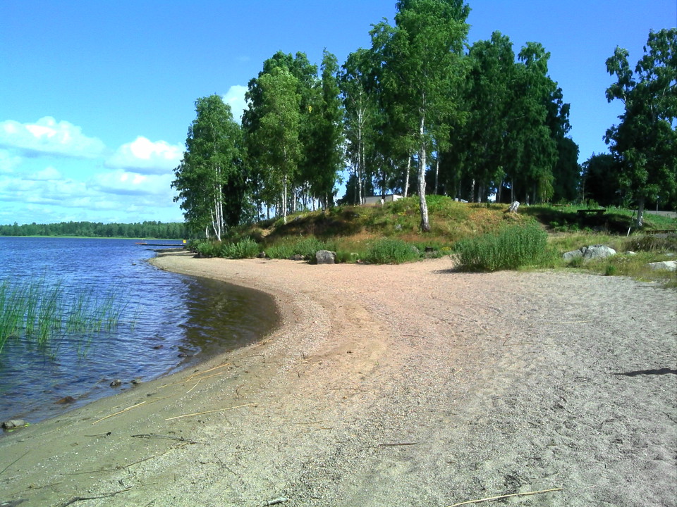
Lilla Sjöbacken -
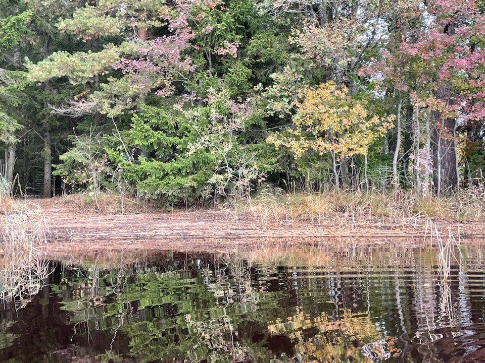
Backmansholmen
Foto: Kent Bogren, 2021 -
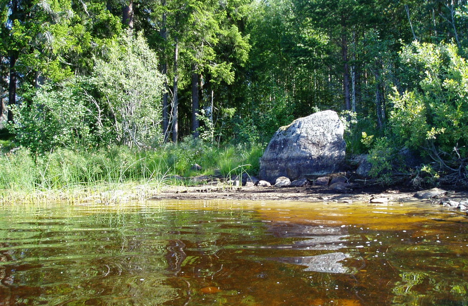
Prästfäbodarna Väst -
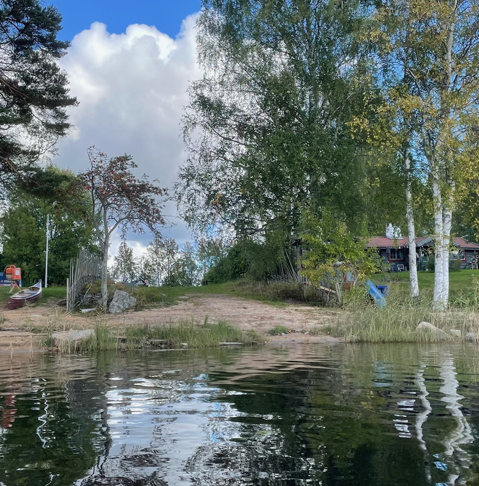
Komyra
Foto: Kent Bogren, 2021
Sjöbacken-Konstdalsströmmen, Testeboån
- Padling
- Fylke: Gävleborgs län
- 6684.66 km fra deg
Detaljer om stien
- Lengde 12.9 km
Handlinger
Beskrivelse
From cultural landscape to wilderness. Ycklaren has shallow sandy beaches.
Note that the water level of the Testeboån river varies a lot, especially around Ockelbo. This means that photos and descriptions of the resting places do not always correspond exactly to reality.
This section ends north of the rapids in Konstdalsströmmen. To continue south towards Smörnäs, you either paddle through the rapids or take off from SMHI's measuring station to Konstdalsströmmen.
Paddling through the rapids in Konstdalsströmmen Konstdalsströmmen consists of two rapids with calm water in between (under the bridge). The northern rapids are relatively easy. The southern rapids divide into two channels. Choose the eastern channel, and if you are coming from the north, stay fairly close to the shore for the best water flow. The western channel is not navigable.
Lift past the rapids in Konstdalsströmmen From SMHI's measuring station, a narrow path leads about 200 m south to the bridge. Then the path continues another 200 m along the river to the rest area Konstdalsströmmen. The last bit can be difficult to walk due to large stones.

Aktiviteter og fasiliteter
- Padling
Kontakt
E-postadresse
Föreningen Naturkraft Gästrikland
Organisasjonens logotype

Jeg har vært her 3


Jeg ønsker å dra hit
Spørsmål og svar
Still et spørsmål til andre brukere av Naturkartan.
Omtaler
0 anmeldelser
- 5 :
- 4 :
- 3 :
- 2 :
- 1 :
Brukernes bilder
Ingen brukerbilder ennå. Bli den første til å dele!
