
Beriskölberget, Naturreservat
- Naturreservat
- Fylke: Dalarnas län
Handlinger
Beskrivelse
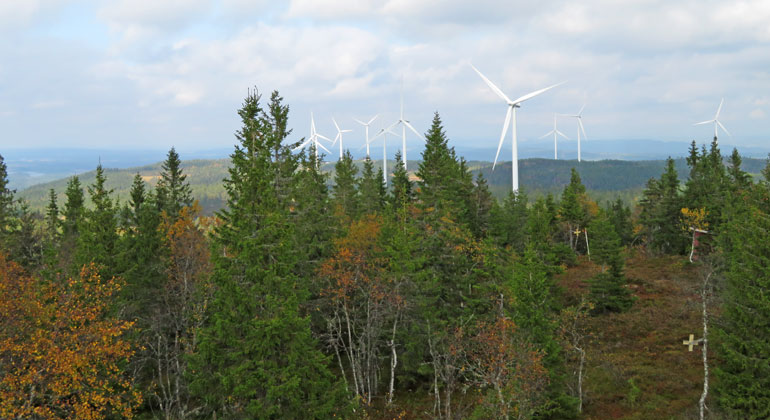
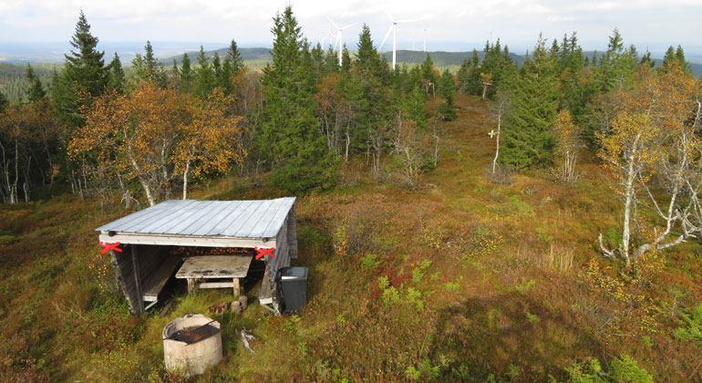
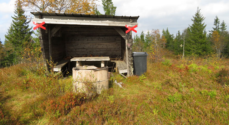
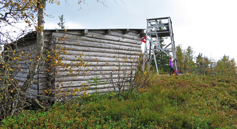
Beriskölberget is located in a magnificent wilderness area between ridges and fertile valleys. At the top of the mountain, there is an observation tower and a wind shelter where visitors can take a break.
A wilderness area that can be visited in both summer and winter
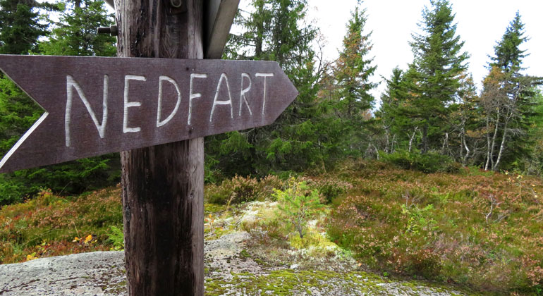
Although the area is quite remote from the nearest community, there are excellent opportunities for outdoor recreation here. The entrance to the reserve is planned at Norra Lyberget, which can be reached via the gravel road that begins just south of Limedsforsen. A trail runs through the western part of the reserve and up to the summit of Beriskölberget, where there is also an observation tower and a wind shelter. The summit can also be reached via one of the snowmobile trails that cross the reserve.
Fertile Spruce Forest with Endangered Species
The forest on the mountain boasts the highest natural values on the fertile western slope. There, an old-growth spruce forest grows, reminiscent of a true primeval forest. The area is home to several endangered species, which have found a refuge here thanks to the varied ages of the trees, an abundance of dead wood, and numerous streams and moist areas. For example, the critically endangered lichen Langgroetag can be found here—it has been recorded at only about 50 locations in Sweden.
Signs from the past—some easy to interpret, others difficult
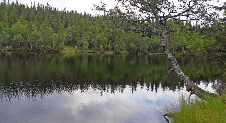
There are signs here that people lived here long ago. You can hike along the old mountain pasture trail that runs through the western part of the reserve; you can see carvings in pine trees and a strangely deep ditch. These are remnants of a project that aimed to drain Lake Sigsjön of its water. But they had to stop because they dug into the bedrock. A local resident has told the story of this strange project, the purpose of which is hard to understand. Was it to get to the fish? And why didn’t they dig in the southern part of the lake, where the stream flows out? Presumably, this took place in the early 1900s.
All photos: Anki Alfredéen, Dalarna County Administrative Board
Aktiviteter og fasiliteter
- Naturreservat
Fakta
Established: 2018
Size: 211 ha
Municipality: Malung-Sälen
Administrator: County Administrative Board
Veibeskrivelse
The area is located about 12 km east of Limedsforsen.
Forskrifter
The following activities are not permitted in the reserve:
- Damaging growing or dead trees—whether standing or fallen—as well as stumps and shrubs. An exception is made for collecting loose, small, dry branches and twigs for the purpose of making a fire. This exception does not apply to dead trees or tar stumps.
- Drive motorized vehicles off-road. This applies to both bare ground and snow-covered ground, with the exception of operating snowmobiles on the snowmobile trails marked on the decision map (Appendix 1) when the ground is snow-covered.
Without a permit from the County Administrative Board, it is also prohibited to:
- dig up plants, pick mosses, lichens, and wood-dwelling fungi, or collect animals (such as insects)
- organize or conduct competitions, camp activities, and other large-scale or recurring organized events.
Click on the nature reserve’s name and select the “Documentation” tab to view the documents.
Kontakt
Adresse
E-postadresse
Organisasjonens logotype

Jeg har vært her
Jeg ønsker å dra hit 1

Spørsmål og svar
Still et spørsmål til andre brukere av Naturkartan.
Omtaler
0 anmeldelser
- 5 :
- 4 :
- 3 :
- 2 :
- 1 :
Brukernes bilder
Ingen brukerbilder ennå. Bli den første til å dele!
