
Stockholms län
Inngang
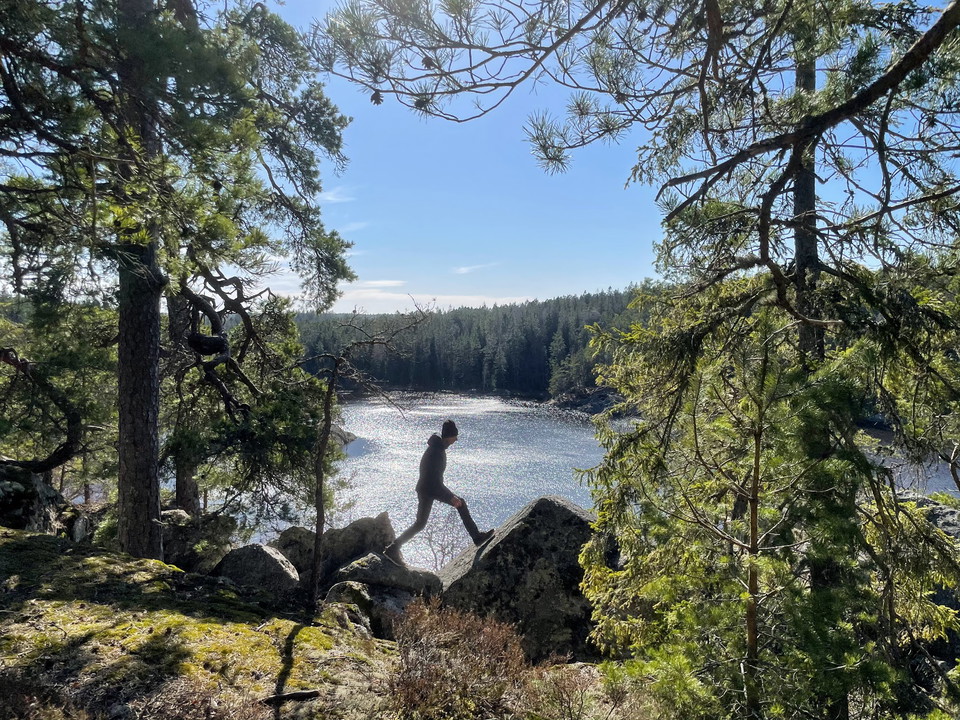
Kart
272 Inngang

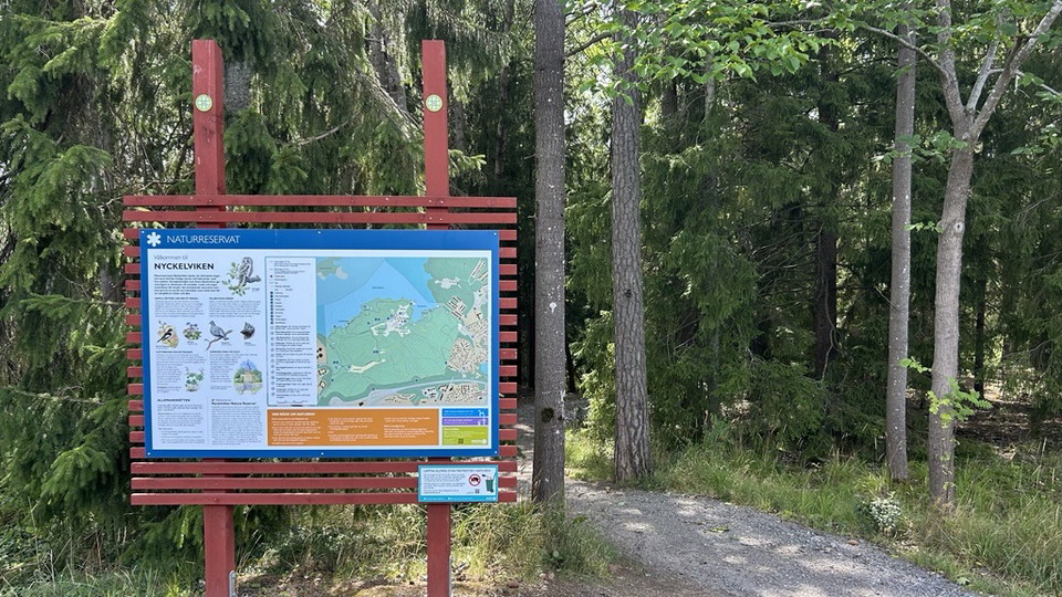
Nyckelviken Entré Sten Stures Väg
- Kommune: Nacka
- 6844.09 km fra deg
Here you will find an information sign and an orientation map that gives you an overview of Nyckelviken Nature Reserve. A red dot marks where in the reserve you are.
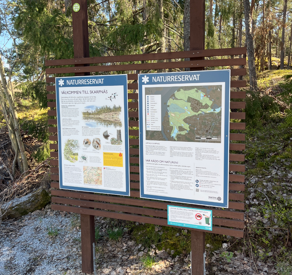
Entré Vittjärn Skarpnäs
- Kommune: Nacka
- 6845.52 km fra deg
Here you will find an information sign and an orientation map that gives you an overview of Skarpnäs nature reserve. A red dot marks where in the reserve you are. Just below you will also find Vittjärn, which stands out with its fine rock pool.
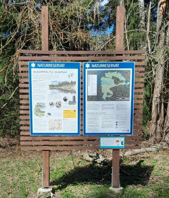
Entré Arnövägen Skarpnäs
- Kommune: Nacka
- 6845.51 km fra deg
Här hittar du en informationsskylt och en orienteringskarta som ger dig en överblick av Skarpnäs naturreservat. En röd prick markerar vart i reservatet du befinner dig just nu.
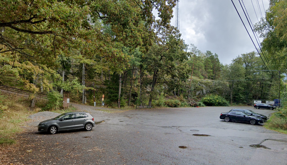
Entré Sjöängsvägen Skarpnäs
- Kommune: Nacka
- 6845.68 km fra deg
Here you will find an information sign and an orientation map that gives you an overview of Skarpnäs nature reserve. A red dot marks where in the reserve you are. A stone's throw away is Glasbrukssjön, which is worth a visit.
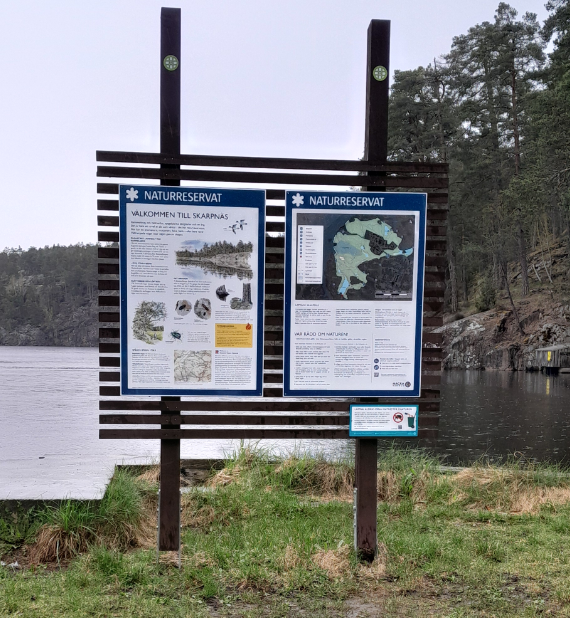
Entré Glasbruksvägen Skarpnäs
- Kommune: Nacka
- 6845.33 km fra deg
Here you will find an information sign and an orientation map that gives you an overview of Skarpnäs nature reserve. A red dot marks where in the reserve you are. Just in front of it is Glasbrukssjön, a popular bathing area with grassy areas, a beach and je…
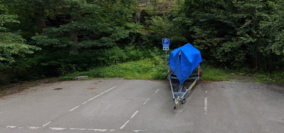
Parkering Mariedal Skarpnäs
- Kommune: Nacka
- 6844.53 km fra deg
Small paved parking lot with 4 spaces. Right next to it is an information sign about Skarpnäs reserve and a path into Skarpnäs forests.
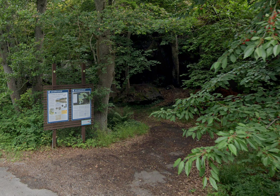
Entré Mariedal Skarpnäs
- Kommune: Nacka
- 6844.54 km fra deg
Here you will find an information sign and an orientation map that gives you an overview of Skarpnäs nature reserve. A red dot marks where in the reserve you are.
Entré Telefragvägen Skarpnäs
- Kommune: Nacka
- 6844.91 km fra deg
Här hittar du en informationsskylt och en orienteringskarta som ger dig en överblick av Skarpnäs naturreservat. En röd prick markerar vart i reservatet du befinner dig.
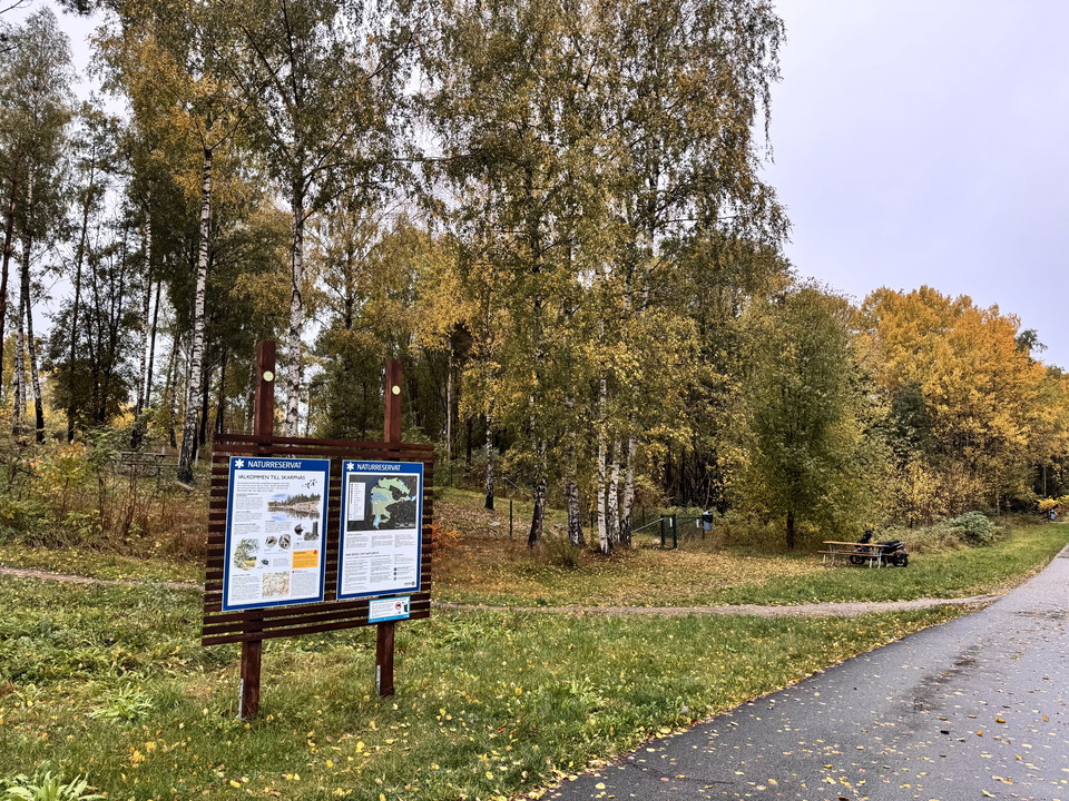
Entré Skarpövägen Skarpnäs
- Kommune: Nacka
- 6845.88 km fra deg
Here you will find an information sign and an orientation map that gives you an overview of Skarpnäs nature reserve. A red dot marks where in the reserve you are.
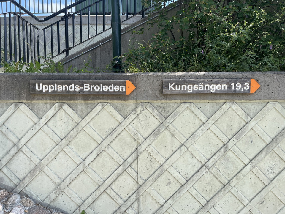
Startpunkt Upplands-Broleden
- Kommune: Upplands-Bro
- 6805.72 km fra deg
Bro commuter train station is one of three starting points for Upplands-Broleden. Follow the orange arrows on the north side of the station. The trail is 29 km long and passes both natural and cultural environments through Upplands-Bro municipality.
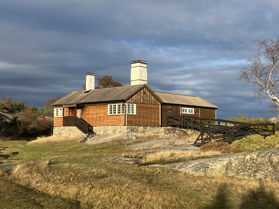
Entré Bullerö, Nämdöskärgårdens nationalpark
- Kommune: Värmdö
- 6882.50 km fra deg
Bullerö island is the main entrance to Nämdöskärgården National Park. Here, you get a taste of almost everything the park has to offer. Enjoy the sea, vast landscapes and abundant birdlife. Explore both wild nature and nature shaped by many generations' cul…
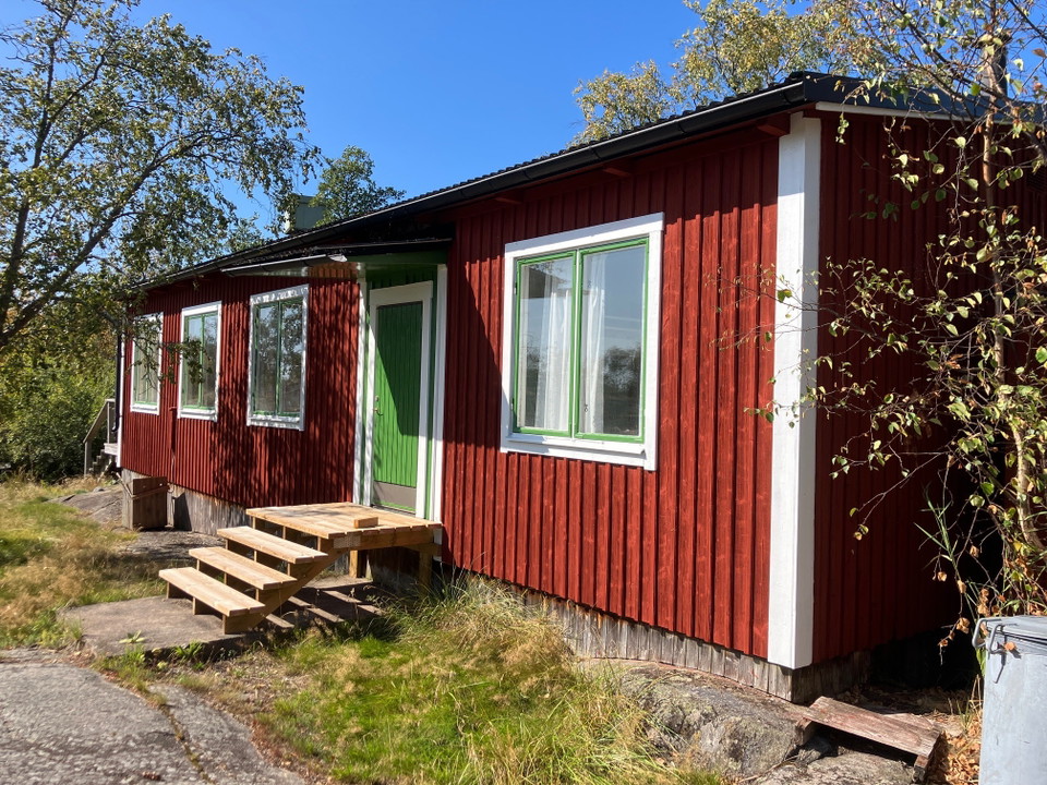
Entré Långviksskär, Nämdöskärgårdens nationalpark
- Kommune: Värmdö
- 6883.18 km fra deg
On southern Långviksskär, within the Långviksskär Nature Reserve, you will find an entrance area to Nämdöskärgården National Park. There are information boards with maps and details about the nature and history of the national park. A former military barra…
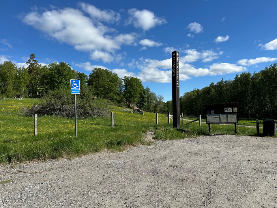
Entré Gladövik/Långängen Orlångens naturreservat
- 6842.96 km fra deg
Parkering med informationstavla. Här går stigen ned mot sjön Orlången och flytbryggan som tar dig över till Sundby gård. I området finns grillplatser, vindskydd och en tillgänglighetsanpassad slinga med audioguider.
