Nyhet!

Nu kan du dela dina bilder på Naturkartan! 📸

Les mer

Beste turstier i Örebro län

Örebro län

Naturkarten samler de turstiene i Örebro län som er mest populære blant våre brukere.

Bilder

Kart

201 Beste turstier i Örebro län

Fotturer

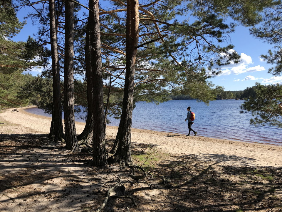
Rundslinga Göljestigen

  • Kommune: Örebro
  • 6682.20 km fra deg
  • 5.2 km

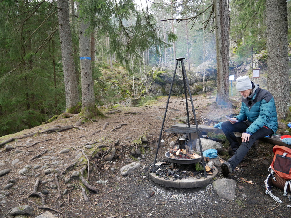
Along certain sections of the trail you follow the Göljebäcken stream, but also passing another stream, Per-Alriks bäck, and Lake Göljan. There are several resting places with fire places. The trail takes you past a distinctive pebble and boulder-strewn are…
Fotturer

Gårdsjön runt

  • Kommune: Örebro
  • 6680.56 km fra deg
  • 6.7 km

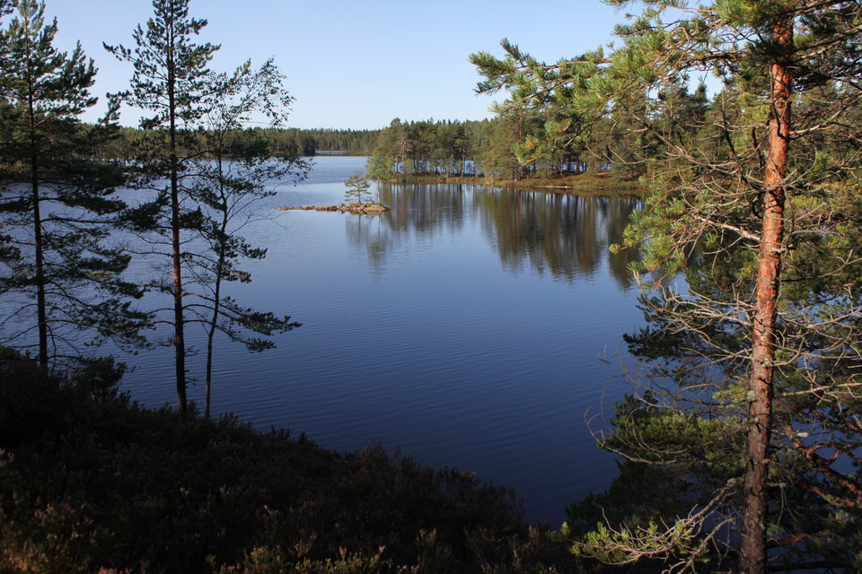
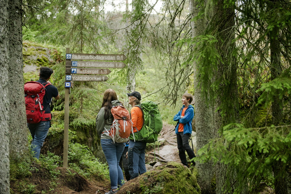
About 6.6 km loop that takes you around Gårdsjön. There is also a shorter loop down to the lake and back to Gårdsjötorp. More hiking opportunities can be found on the map you can download.

Fotturer

Rundslinga Amboberget

  • Kommune: Örebro
  • 12.5 km
  • Vanskelighetsgrad: Blå

Marked with blue symbols, the trail takes you through the Amboberget Nature Reserve before linking up to Stages 7 and 8. Take a break at the top of the steep Amboberget Hill, where your efforts will be well rewarded with excellent views. Discover the cave a…

Fotturer

Rundslinga Blankhult

  • Kommune: Örebro
  • 6681.53 km fra deg
  • 9.8 km
  • 3 t
  • Vanskelighetsgrad: Rød

The trail passes through hilly terrain, taking in the Rusakulan viewing point, which offers an uninterrupted view across the plain. There is a resting place and toilet at Skrikarboda. The lake, Stora Klockarhyttesjön, is an ideal spot to take a break and ha…

Fotturer

Ånnaboda - Suttarboda, Bergslagsleden Etapp 10

  • Kommune: Örebro
  • 6682.16 km fra deg
  • 7.0 km
  • 2 t
  • Vanskelighetsgrad: Blå

Stage 10 is the shortest stage along the Bergslagen Trail. You pass the steep Falkaberget hill, which offers a number of words of wisdom from former UN Secretary-General Dag Hammarskjöld, and a beautiful view across the forests and Lake Falkasjön. The trail…

Fotturer

Trehörningsrundan

  • Kommune: Laxå
  • 6696.49 km fra deg
  • 9.5 km

Read more about the hiking loop and download fact sheet here: Sverigesnationalparker.se

Fotturer

Rundslinga Digerberget

  • Kommune: Nora
  • 6677.86 km fra deg
  • 10.0 km
  • Vanskelighetsgrad: Blå

The trail takes you through beautiful countryside to a lakeside resting place beside Lilla Ramsjön, before continuing through the old Pershyttan mining and ironworking area. Marked with blue symbols, the trail links up with Stages 6 and 7.

Fotturer

Rundslinga Tiveden

  • Kommune: Laxå
  • 6697.58 km fra deg
  • 12.0 km
  • Vanskelighetsgrad: Blå

A good starting point for a day walk is east of Lake Bosjön where the Munkastigen Trail and the Bergslagsleden Trail continue in different directions. You also have an option where you start in Tivedstorp and spend the night in our wind shelter at the south…

Fotturer

Rundslinga Uskavi

  • Kommune: Lindesberg
  • 6672.45 km fra deg
  • 12.0 km
  • Vanskelighetsgrad: Blå

A slightly longer trail that is an ideal day walk. One of the best places to take a break and bathe is at Lake Södra Brunnsjön. Take the opportunity to visit Siggebohyttan, a row of beautiful mining peasants’ cottages. Marked with blue symbols, the trail li…

Fotturer

Ringsbergsleden

  • Kommune: Örebro
  • 6728.60 km fra deg
  • 19.4 km

12 km hiking trail. The trail stretches from Solbergabadet in the south to Röda sand just south of Brevens Bruk and is well marked with orange color on poles. The trail runs next to the Sottern and contains a couple of good resting places with windbreaks. T…

Fotturer

Ånnabodas rundslingor

  • Kommune: Örebro
  • 6681.50 km fra deg
  • 11.4 km

The route around the lake is 2.5 km and paved, so it is good for strollers and wheelchairs. Steep slope in some places, so you may need assistance to get around with a wheelchair. The longer circular loops are 5 and 8 km respectively and with forest terrain…

Fotturer

Rundslinga Suttarboda

  • Kommune: Örebro
  • 13.0 km
  • 3 t
  • Vanskelighetsgrad: Blå

This trail passes between two classic locations at Kilsbergen. Enjoy the view from Falkaberget and take a dip in one of the lakes that you pass along the way. Marked with blue symbols¸ the trail links up with Stage 10.

Fotturer

Blankhult - Ånnaboda, Bergslagsleden Etapp 9

  • Kommune: Örebro
  • 6682.18 km fra deg
  • 10.0 km
  • 3 t
  • Vanskelighetsgrad: Blå

Stage 9 takes you along Kilsbergskanten, passing four nature reserves, and on to Kilsbergsstugan in Tomasboda, where there is also a wind shelter. Tomasbodahöjden is the highest point on Kilsbergen and is an ideal spot to relax and have a bite to eat. Along…

Fotturer

Mogetorp - Blankhult, Bergslagsleden Etapp 8

  • Kommune: Örebro
  • 6682.49 km fra deg
  • 14.0 km
  • 4 t
  • Vanskelighetsgrad: Rød

On Stage 8 you will pass several shingle fields, formed when the waves of the Yoldia Sea increased in strength all the way from Russia and washed over the edge of Kilsbergskanten. You also pass Rusakulan, which is the best viewing point on Kilsbergen. Follo…

Fotturer

Suttarboda - Lekhyttan, Bergslagsleden Etapp 11

  • Kommune: Örebro
  • 16.0 km
  • 4 t 30 min
  • Vanskelighetsgrad: Rød

Stage 11 passes through the Garphyttan National Park, which is one of the oldest national parks in Sweden. It will also take you through one of the most beautiful areas in the region and which is well worth seeing as it offers a stunning array of natural ex…

Beste turstier i Örebro län

Naturkarten samler de turstiene i Örebro län som er mest populære blant våre brukere.

Naturkartan

Åpne dette i appen