Kalmar län och Öland

Kart

83 Gå

Svartö naturstig

  • Kommune: Mönsterås
  • 6890.56 km fra deg
  • 5.0 km

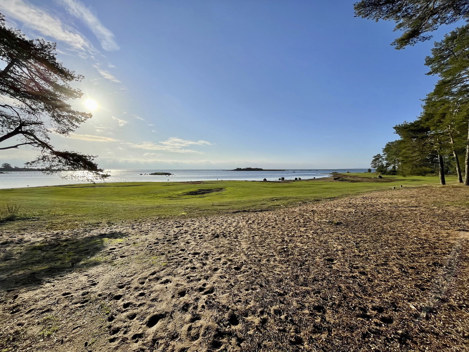
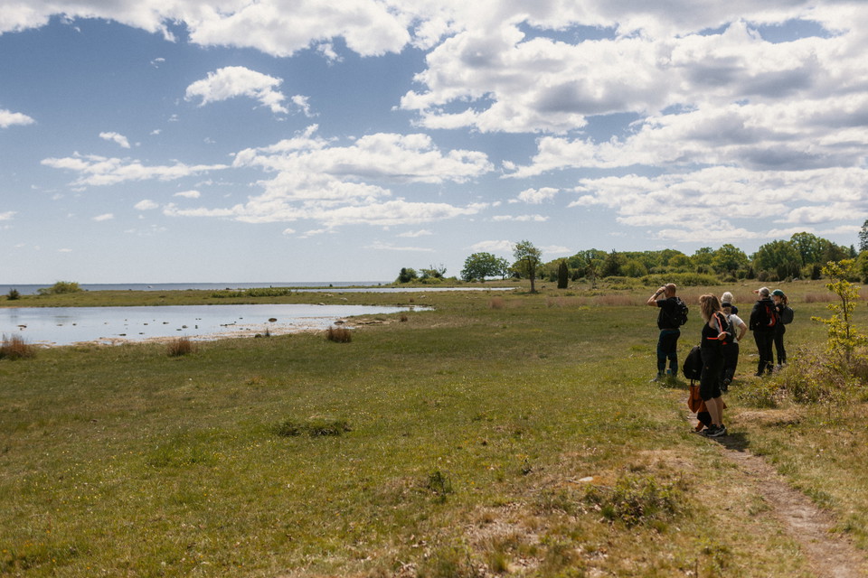
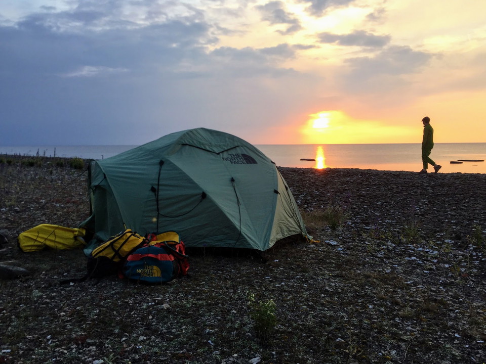
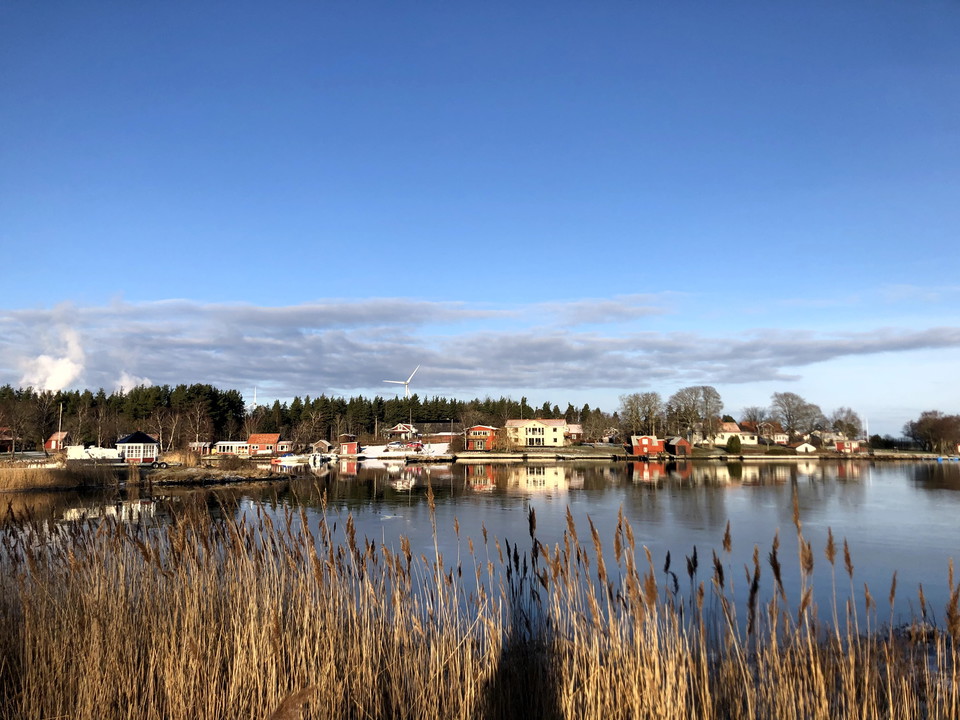
A nature trail that takes you on a lovely walk along the coast starts from the parking area at Svartö harbour. Your eyes will meet sea, pine forest, and an oak landscape, with fragrant lily of the valley. The part of the nature trail marked with yellow and…
Sylten

  • Kommune: Mönsterås
  • 6886.54 km fra deg
  • 0.5 km
  • Vanskelighetsgrad: Grønn

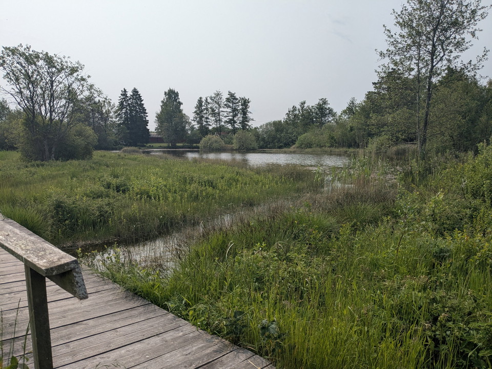
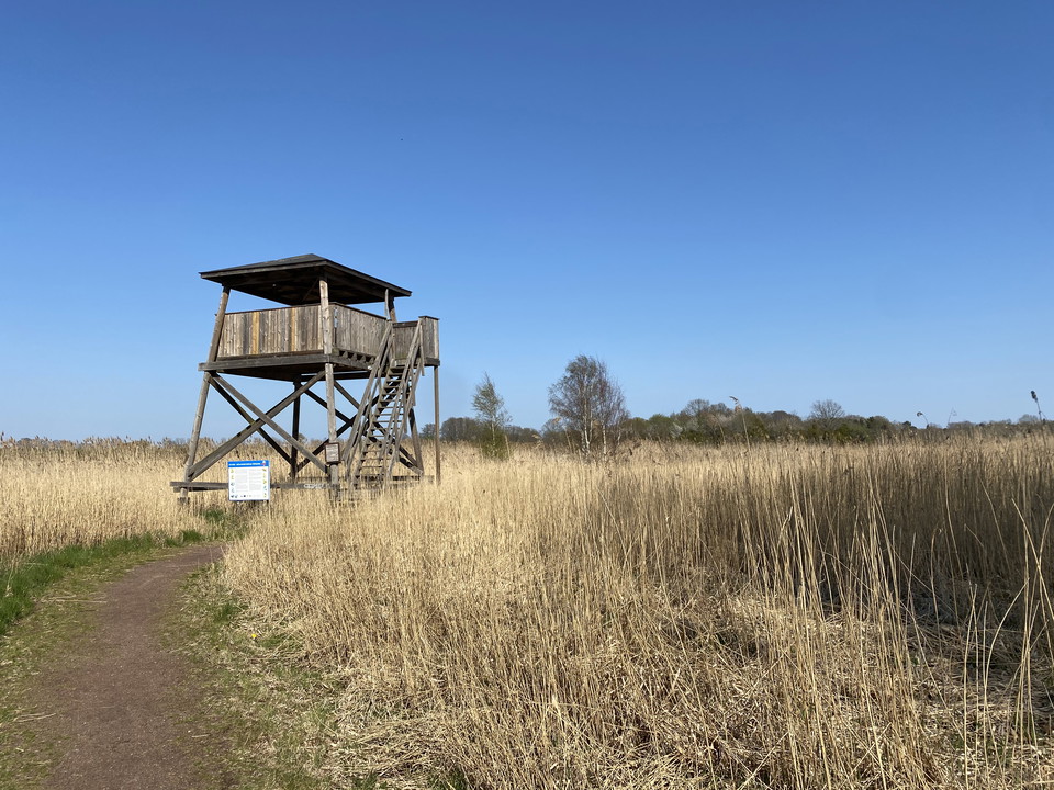
Sylten The wetlands at Sylten are home to both fish and birds. A teeming environment with much to discover, just a stone's throw from Mönsterås center. Don't forget to bring binoculars on your visit! As of 2021, 197 bird species have been recorded at Sylten…

Fotturer

Långnäs naturstig

  • Kommune: Mönsterås
  • 6885.40 km fra deg
  • 10.0 km
  • Vanskelighetsgrad: Grønn

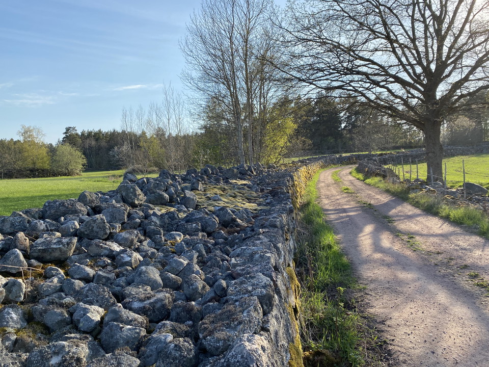
This 10-kilometre-long nature trail takes you past seven villages. People have cultivated the land here for generations. You walk through a living agricultural landscape with sights such as a stone arch bridge, milestone, trapping pit, and the ruins of a cl…

Fotturer

Oknöleden

  • Kommune: Mönsterås
  • 6891.23 km fra deg
  • 8.7 km
  • Vanskelighetsgrad: Grønn

On Oknö you walk on well-trodden paths, accompanied by the sea. Here you can also swim, fish, and watch birds. There are plenty of outdoor recreational facilities, such as grill areas and a wind shelter. The Oknöleden Trail is 8.7 kilometres long and takes…

Ödevatas Träd-quiz

  • Kommune: Emmaboda
  • 6870.24 km fra deg
  • 3.0 km
  • Vanskelighetsgrad: Grønn

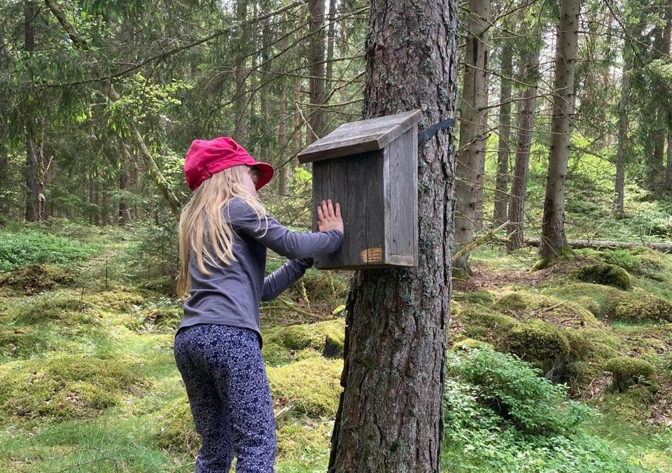
Längs Ödevatas Träd-quiz finns det stationer med olika utmaningar. Utmaningar som gör gör att du upptäcker skogen och naturen med alla dina sinnen. Låt turen ta sin tid och du kommer få med dig nya perspektiv. Turen är 3 km lång och passar både barn och vuxna.

Sirkulær slynge

Kulturstigen - Vassmolösa

  • Kommune: Kalmar
  • 2.7 km

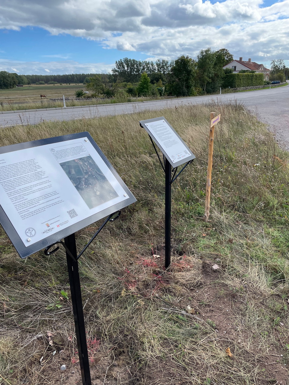
Welcome to walk a cultural trail through the village of Vassmolösa. The approximately 2.5 km long circular trail starts and ends at the former inn. Along the trail there are signs where you can read about how the community has changed over time. Additional…

Prästhag

  • Kommune: Borgholm
  • 6910.35 km fra deg
  • 2.5 km
  • Vanskelighetsgrad: Grønn

Prästhag is an area that used to be the pasture of the vicarage. The landscape in Prästhag has been changing for hundreds of years. Small fields, meadows, forests and pastures have been located here. The large area in the middle of Prästhag has grown back w…

Fotturer

Hörninge mosse - en restaurerad öländsk våtmark

  • Kommune: Borgholm
  • 6914.01 km fra deg
  • 3.0 km
  • Vanskelighetsgrad: Blå

Hörninge mosse is one of the island's largest wetlands. It is a popular place for many wetland birds such as lapwings, grebes and dunlins. The meadow hawk is also frequently seen flying here. For those interested in botany, most of Öland's different orchid…

Kultursti

Långlötleden

  • Kommune: Borgholm
  • 6.0 km
  • Vanskelighetsgrad: Blå

Långlötleden is managed by Långlöts Hembygdsförening (Långlötleden (hembygd.se)). Långlötleden starts from the parking lot at Öland Museum Himmelsberga. The trail goes along very old roads, paths, lanes, field roads and village streets. You walk past meadow…

Skulpturpromenaden

  • Kommune: Kalmar
  • 3.6 km

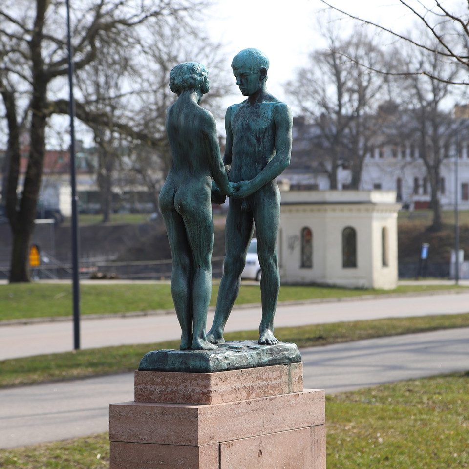
Welcome to an exciting walk in the culturally dense city of Kalmar! The walk takes about 1.5 hours, if you walk the whole thing, but you can of course choose to split it up according to what suits you. There are also plenty of seats along the walk. On the w…

Fotturer

Grindmossen

  • Kommune: Borgholm
  • 6918.12 km fra deg
  • 0.6 km
  • Vanskelighetsgrad: Grønn

Grindmossen is a restored wetland created by Runstens Naturvårdsförening and Borgholm municipality. There is much to see in and around the bog such as orchids, water lilies, marsh fritillary, swallowtail and pike. Dragonflies and damselflies also fly over t…

Sirkulær slynge

Ljungbyåns vandringsled - Gamla landsvägen Källängen

  • Kommune: Kalmar
  • 1.0 km

An alternative route along the old highway that also makes it possible to walk a shorter loop of 1.5 kilometers in Källängen. Choose this route if you are hiking along the trail in winter or early spring when Tomtebybäcken is not passable due to high water…

Sirkulær slynge

Rundslinga Värnanäs - Stufvenäs

  • Kommune: Kalmar
  • 5.4 km

This easy hike is perhaps the finest circular trail in Kalmar municipality with the most varied natural landscape. From rich lands you are led through a varied natural landscape along the coast out on beautiful beach meadows, past seal colonies out in the s…

Klockslätten-Kristkällan

  • Kommune: Borgholm
  • 0.5 km
  • Vanskelighetsgrad: Blå

A slightly wooded path between Klockslätten and Kristkällan in the Prästhag area.

Naturkartan

Åpne dette i appen