Nyhet!

Nu kan du dela dina bilder på Naturkartan! 📸

Les mer

De beste løyper for terrengløping i Hallands län

Hallands län

Naturkarten samler de løypene i Hallands län som er mest populære blant brukerne våre.

Bilder

Kart

29 De beste løyper for terrengløping i Hallands län

Terrengløping

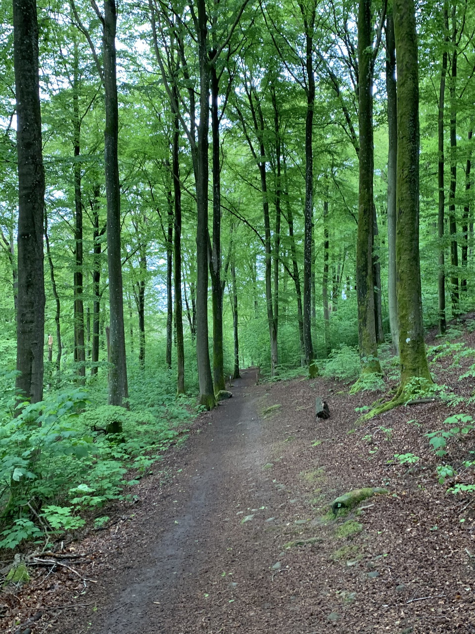
Hjörneredssjöarna - Grön lång

  • Kommune: Laholm
  • 6745.73 km fra deg
  • 7.0 km
  • Vanskelighetsgrad: Blå

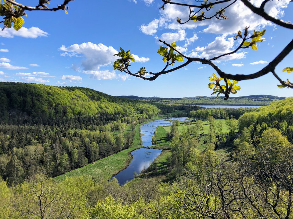
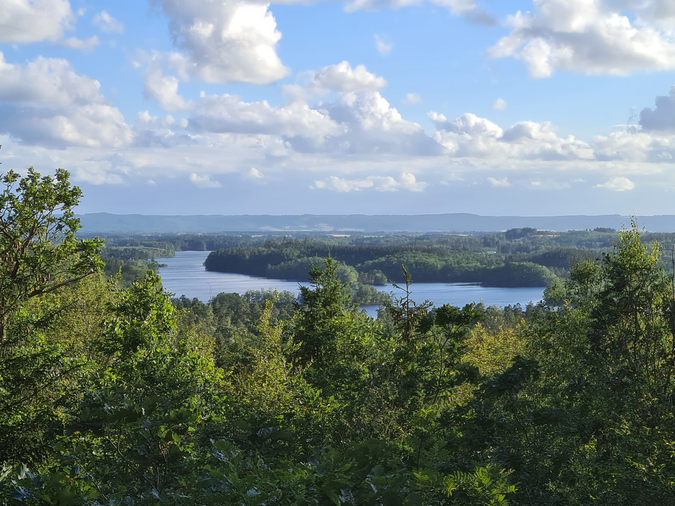
We run outer laps on the marked loops starting with the green one from Hjörneredssjöarna. Hjörneredssjöarna was created when Lagan was dammed up to build power plants. We run along the almost surprisingly steep edge down to the river. Parts of the area are…
Terrengløping

Trail Rönnö Naturreservat

  • Kommune: Laholm
  • 6750.13 km fra deg
  • 11.6 km
  • Vanskelighetsgrad: Grønn

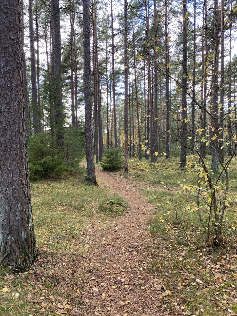
Far into the eastern part of Laholm municipality, in the old border area between Sweden and Denmark, we are met by bogs and small hilly mixed forest. A rich animal and plant life has given the area the status of a nature reserve. There are also old croft ru…

Terrengløping

Snibe Stue - Trail

  • Kommune: Laholm
  • 6752.67 km fra deg
  • 11.25 km
  • Vanskelighetsgrad: Blå

In the eastern part of Hallandsåsen, deeper forests await. And giants. Hilly beech forest, lovely soft paths in spruce forest and some transport routes on smaller forest roads (gravel). Sheep graze on the heather moor that makes up Bölinge nature reserve, a…

Terrengløping

Osbecks bokskogar - Trail

  • Kommune: Laholm
  • 6737.40 km fra deg
  • 7.19 km
  • Vanskelighetsgrad: Blå

The northern slope of Hallandsåsen offers beautiful beech forests and some decent slopes. Here, in the borderland between Halland and Skåne, you get scenic running on soft ground. The paths are mostly fairly flat and gentle, small sections with some stones…

Terrengløping

Trail Knäred

  • Kommune: Laholm
  • 6749.14 km fra deg
  • 7.0 km

North of Knäred we find a natural area with Krokån in the center. We start by taking the red trail that starts just west of the road. A small soft path takes us into the forest, further over the clearings and through large spruce forest. We finish this sect…

Terrengløping

Trail Snapparp/Tjärby

  • Kommune: Laholm
  • 6731.50 km fra deg
  • 4.6 km
  • Vanskelighetsgrad: Grønn

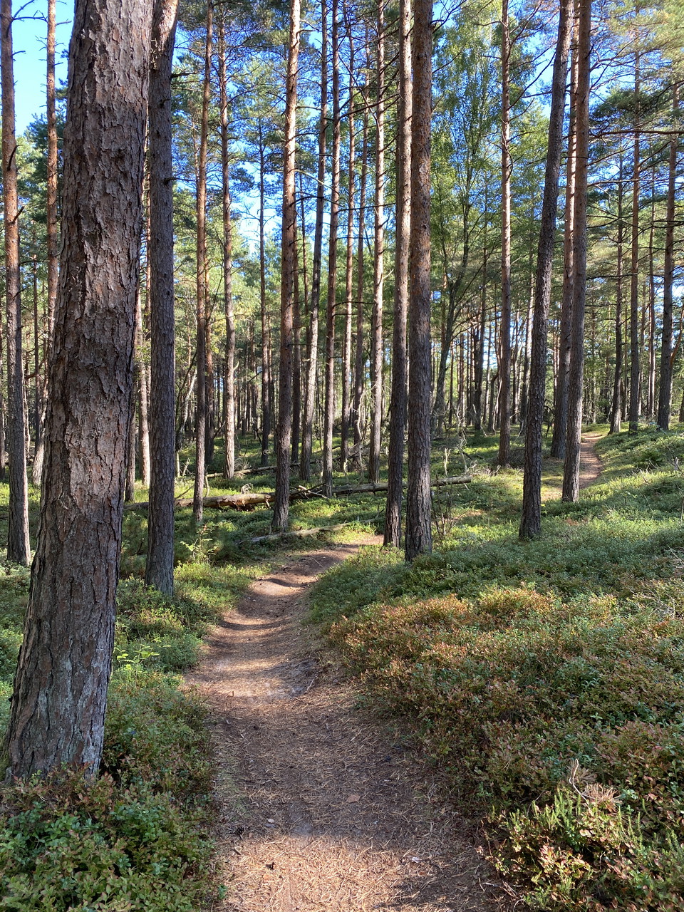
Tjärby sand dune reserve consists of an old flying sand field of 60 hectares. We are three kilometers from the sea and this is where the sand comes from. Sand drifting probably started already during the Bronze Age. Until the end of the 19th century, the ar…

Fotturer

Skogsbostigen

  • Kommune: Varberg
  • 6680.21 km fra deg
  • 5.4 km

**With its 255 hectares, Skogsbo is the largest nature reserve within Åkulla beech forests. The backbone of the reserve consists of six rock outcrops. Five of these are passed on the trail, which has a total climb of 250 m. The slopes require some effort, b…

Fotturer

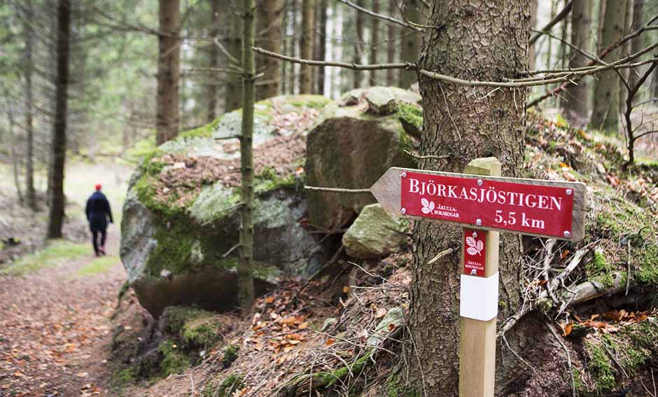
Björkasjöstigen

  • Kommune: Falkenberg
  • 6681.29 km fra deg
  • 5.5 km

Älmebjär utgörs av en höjd med sluttningar ner mot Björkasjö. Bokskog dominerar och många av träden är mycket gamla. I denna miljö trivs ovanliga arter som kräver en specifik livsmiljö. Björkekullens Naturreservat På torpet har fyra generationer bott och ar…

Fotturer

Älvasjöstigen

  • Kommune: Varberg
  • 6681.47 km fra deg
  • 5.7 km

**Holma ö is a headland on the eastern shore of Lake Bya. There are remains of a medieval castle surrounded by a wide rampart. The site was probably important in the inner water system of older Halland. The craftsman's croft Långanskogen The unusual thing a…

Fotturer

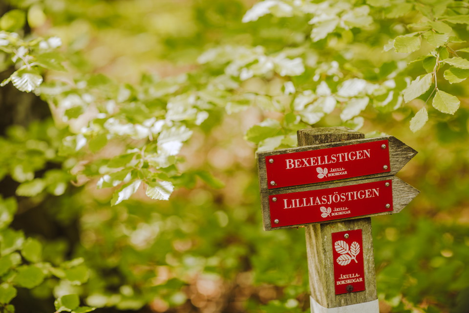
Bexellstigen

  • Kommune: Varberg
  • 6677.52 km fra deg
  • 6.0 km

Bexell's "speaking" stones Lapides loquentes semper habemus (stones that speak we always have) This is a unique cultural monument in Åkulla Bokskogar. At the end of the 19th century, Alfred Bexell (1831-1900), the original member of parliament and landowner…

Fotturer

Näsetstigen

  • Kommune: Varberg
  • 6675.16 km fra deg
  • 5.5 km

**Näsnabben Nature Reserve offers old, tall beech forests, fine views over Skärsjön and a lot of cultural history. Some of the beech stands are over 200 years old and contain an abundance of rare species of lichens and insects. Birdlife is also rich, with w…

Fotturer

Bergastigen

  • Kommune: Varberg
  • 6677.84 km fra deg
  • 4.3 km

The Bergastigen path is named after the croft Berget that you pass. The last crofter lived here in the 1920s with eight children, a cow and a pig. The croft was bought out according to the Hermitage Act. That is why it is still there. The owners of Öströö p…

Fotturer

Simlången Runt

  • Kommune: Halmstad
  • 6730.90 km fra deg
  • 8.0 km

The eastern side of the trail runs through the nature reserves Bröda and Veka in partly hilly terrain with beautiful beech forests and white sea holly in the spring. In the far north, the trail rounds Mahults Herrgård, which in Fredrik Ström's book Folket i…

Fotturer

Slottsstigen

  • Kommune: Varberg
  • 6677.50 km fra deg
  • 3.2 km

Öströö Öströö dates back to the Middle Ages and still has its original foundation walls. The castle was restored and renewed in Italian style by architect George von Dardel on behalf of Baron Carl Mauritz Bogislav Klingspor in 1916. It is still owned by the…

Fotturer

Bockstensstigen

  • Kommune: Varberg
  • 6678.79 km fra deg
  • 3.9 km

Bockstens mosse The so-called Bockstensmannen, which is in the county museum in Varberg, was found at this site. The find is unique as the peat's humic acids preserved body, clothes and even brain and hair. The find was made at midsummer 1936 in connection…

De beste løyper for terrengløping i Hallands län

Naturkarten samler de løypene i Hallands län som er mest populære blant brukerne våre.

Naturkartan

Åpne dette i appen