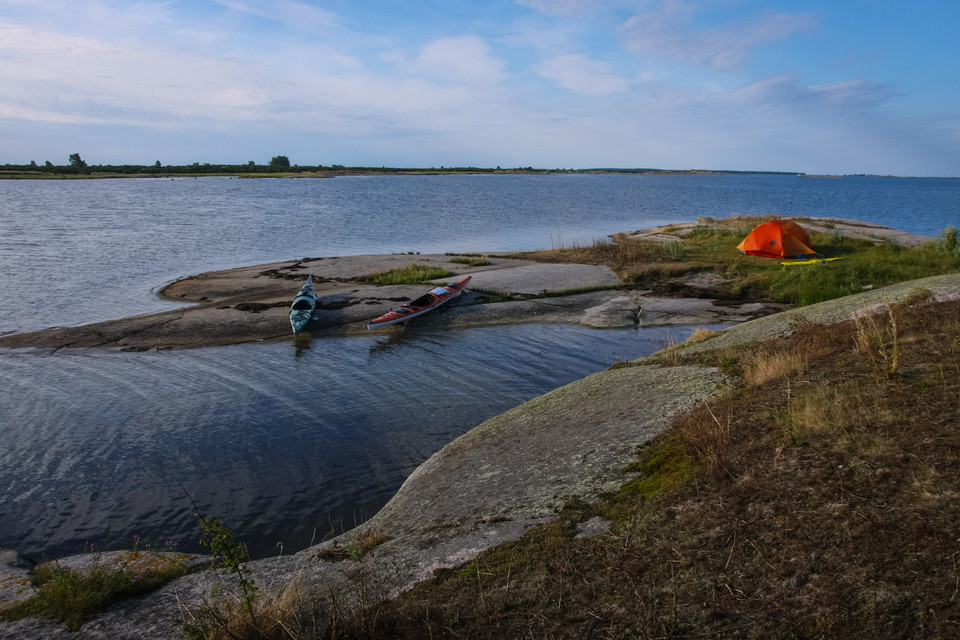
De beste padlerutene for kajakk eller kano i Blekinge län

Blekinge län

Naturkarten samler de mest populære kajakk- og kanorutene i Blekinge län blant våre brukere.

Bilder

Kart

75 De beste padlerutene for kajakk eller kano i Blekinge län

Padling

Lilla Järnaviksrundan

  • Kommune: Ronneby
  • 6862.37 km fra deg
  • 5.7 km
  • Vanskelighetsgrad: Grønn

A perfect trip for beginners. If you start in Järnavik, you will soon be in the beautiful channel off Bjärnö. Pass the lovely little houses on the island before hopping over to Tjärö. The north-east side of Tjärö offers sheltered kayaking down the shore wit…

Padling

Tjärörundan

  • Kommune: Karlshamn
  • 6862.33 km fra deg
  • 7.5 km
  • Vanskelighetsgrad: Grønn

A sheltered circuit that includes rounding the popular island of Tjärö in the beautiful little Järnavik archipelago. Narrow channels, steep cliffs and some wide horizons. Also lots of coves for swimming and a death-defying cliff jump into the sea on Tjärö (…

Padling

Trossörundan

  • Kommune: Karlskrona
  • 6890.10 km fra deg
  • 6.2 km
  • Vanskelighetsgrad: Grønn

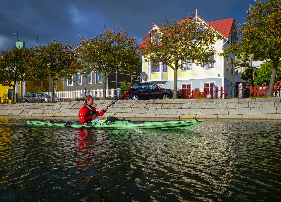
Completely sheltered kayaking in the centre of town. This loop is completely different compared with the other kayaking trails in the app as it runs very close to the town. That said, there’s a bit of a sense of the wild on the outer side of Saltö. You pass…

Padling

Kajakled Torhamn - Stenshamn

  • Kommune: Karlskrona
  • 6908.94 km fra deg
  • 11.8 km
  • Vanskelighetsgrad: Blå

A route round the easternmost part of the Blekinge archipelago and probably the most rock-strewn ;). Here there’s a mix of open water just off Torhamn as you pass the pilot lookout point on Långören. Between Vieskär and Tobisaflöten the water is shallow so…

Padling

Kanotleden i Sveriges Sydligaste Vildmark

  • Kommune: Olofström
  • 6817.62 km fra deg
  • 28.7 km

Welcome to Sweden's southernmost wilderness! Here you will find one of Sweden's best outdoor experiences, namely the Halen-Raslången-Immeln canoe trail. Here you will find beautiful and largely untouched nature with plenty of rest and camp sites. Paddling c…

Padling

Kajakled Mörrum Elleholm - Karlshamn

  • Kommune: Karlshamn
  • 6847.63 km fra deg
  • 20.6 km
  • Vanskelighetsgrad: Blå

From river to town. Start off with river kayaking in the Mörrumsån river before soon entering the sea. The route eastwards is relatively exposed with a few islands offering shelter. You will pass the tall chimneys of the pulp mill at Mörrums bruk, as well a…

Padling

Sturkörundan

  • Kommune: Karlskrona
  • 6902.14 km fra deg
  • 13.5 km
  • Vanskelighetsgrad: Grønn

A gorgeous sheltered circular route in a dense set of islands between Senoren, Sturkö and Hästholmen. Lots of lovely islands, from small islands with sparse vegetation to large ones with big leafy trees. Narrow channels between relatively small islands. Mos…

Padling

Tärnörundan

  • Kommune: Karlshamn
  • 6859.04 km fra deg
  • 17.9 km
  • Vanskelighetsgrad: Blå

A circuit round the sheltered Hällaryd archipelago with its many islands. Paddle your way through narrow channels among many lovely islands, many of them ideal for stepping ashore for a rest and/or a walk. Östra Bokö is a very popular island for kayaking an…

Padling

Listerby skärgårdsrunda Listerby skärgård naturreservat

  • Kommune: Ronneby
  • 6883.35 km fra deg
  • 7.7 km
  • Vanskelighetsgrad: Grønn

A perfect circular trail for exploring the Listerby archipelago. The circuit starts amid low-lying islands dotted with juniper bushes before then working its way between larger islands. The combination of quite large islands with narrow channels between the…

Padling

Kajakled Kuggeboda - Karlskrona Fisktorget

  • Kommune: Karlskrona
  • 6881.28 km fra deg
  • 25.2 km
  • Vanskelighetsgrad: Rød

One of the longer sections on the ARK56 kayaking trail. Here the route starts in the beautiful Listerby archipelago with its many islands. Keep following the mainland and paddle north. You’ll pass many gorgeous islands and in the inner Listerby archipelago…

Padling

Torhamnsrundan

  • Kommune: Karlskrona
  • 6904.96 km fra deg
  • 25.8 km
  • Vanskelighetsgrad: Blå

Slightly open water between Torhamn and Långören. Walker-friendly between Tobisaflöten and Vieskär. Kayaking along the Inlängan shoreline past the old fishing village is gorgeous. Flakskär is a great island with wonderful rocks and views to the horizon. Tor…

Padling

Fäjörundan

  • Kommune: Karlskrona
  • 6896.12 km fra deg
  • 5.3 km
  • Vanskelighetsgrad: Grønn

A short detour round Fäjö island. The eastern part is a narrow route through reeds teeming with birdlife. On the northern and western sides the views are more open. A pleasant circuit round a gorgeous island. Fäjö is linked to the mainland by a bridge so it…

Padling

Allbölerundan

  • Kommune: Karlshamn
  • 6859.04 km fra deg
  • 29.6 km
  • Vanskelighetsgrad: Rød

This circuit takes you through the Järnavik and the Hällaryd archipelagos. Discover the sheltered archipelago, open horizons and glorious islands like Tjärö and Tärnö. If the weather is fine, and the sea calm, it’s worth canoeing round the Allböle peninsula…

Padling

Kajakled Karlshamn - Matvik

  • Kommune: Karlshamn
  • 6855.25 km fra deg
  • 8.9 km
  • Vanskelighetsgrad: Blå

This part of the trail runs from town to archipelago. The first part from Karlshamn eastwards is relatively open but you soon enter a sheltered archipelago. Pleasant kayaking with populated islands and the mainland never far away. There are some lovely narr…

Padling

Kajakled Järnavik - Ronneby Ekenäs

  • Kommune: Ronneby
  • 6863.69 km fra deg
  • 34.0 km
  • Vanskelighetsgrad: Blå

Järnaviksfjorden is relatively open to southerly winds but it’s not too bad if you keep close to the shore. The Gyö headland is exposed to wind but the islands provide shelter to the east. Go the inner side of Vångsö through the narrow channel if you prefer…

De beste padlerutene for kajakk eller kano i Blekinge län

Naturkarten samler de mest populære kajakk- og kanorutene i Blekinge län blant våre brukere.

Naturkartan

Åpne dette i appen