
Vandringsled Laxaleden syd
- Fotturer
- Fylke: Blekinge län
- 6845.85 km fra deg
Detaljer om stien
- Lengde 3.6 km
- Vanskelighetsgrad Grønn – enkel
Handlinger
Beskrivelse
Aktiviteter og fasiliteter
- Fotturer
Underlag
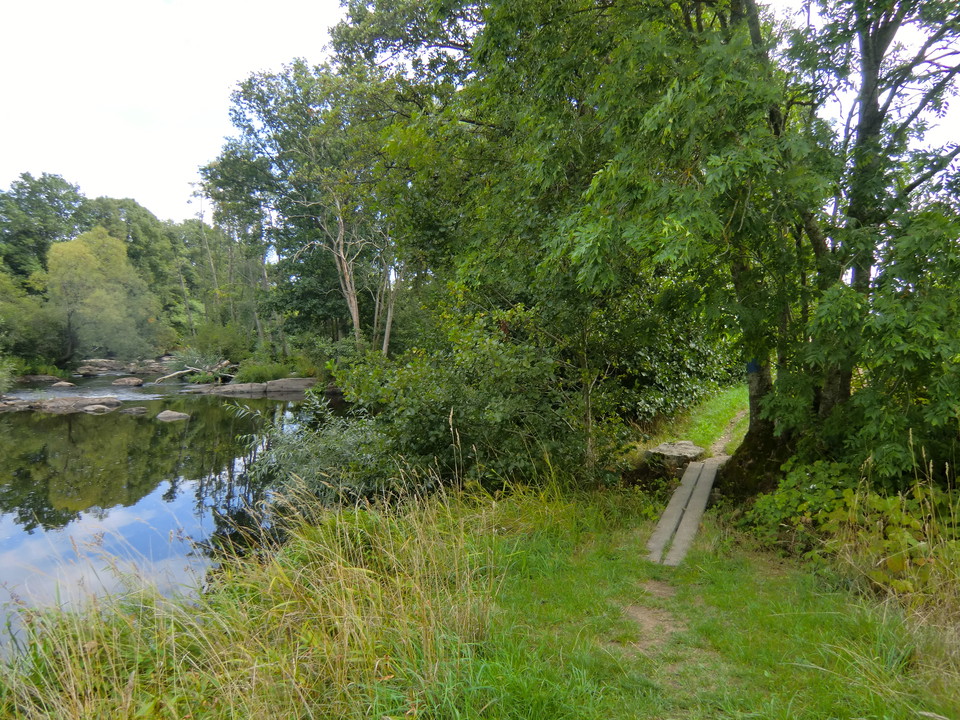
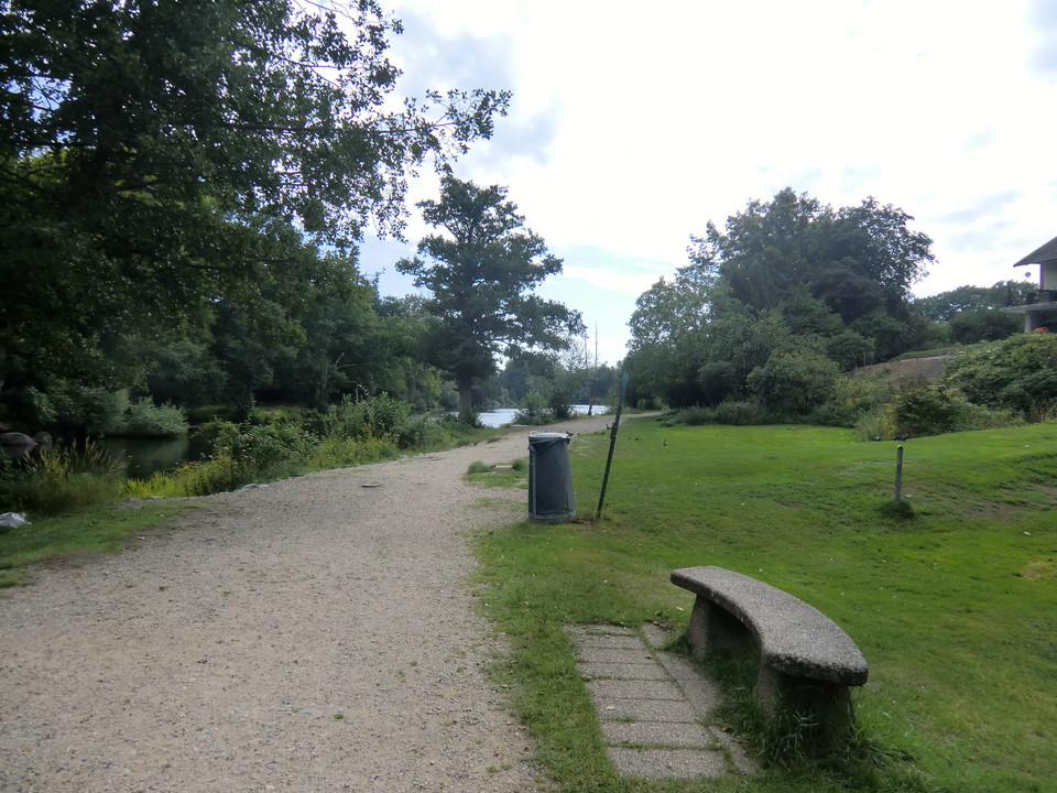
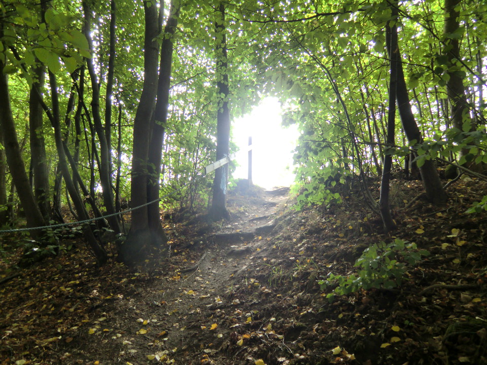
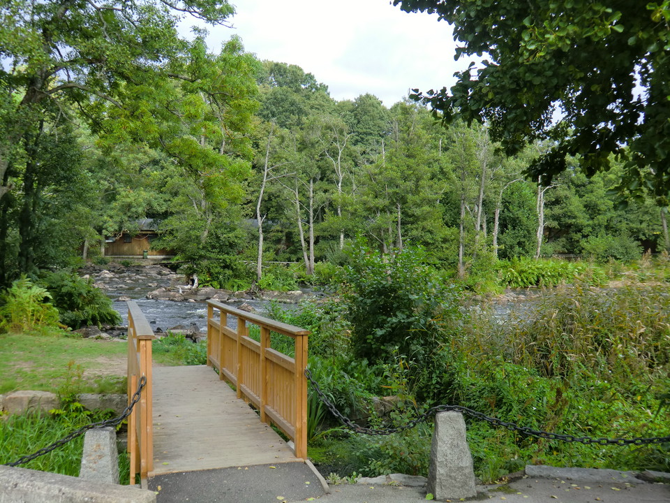
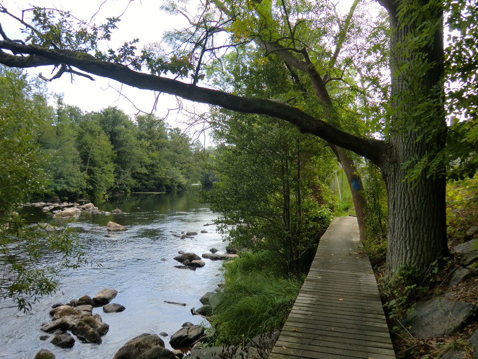
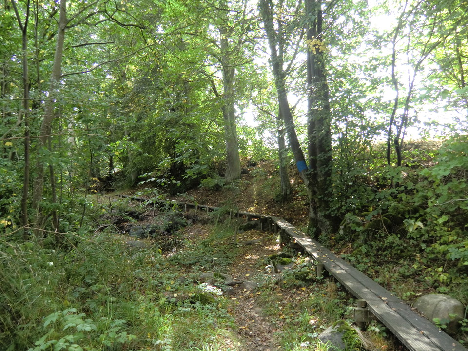
Gravel path in the north, wooden boardwalks and beach path in the middle and road at the far south. Disabled-friendly from Mörrums Kronolaxfiske down to the railway bridge over Mörrumsån. The rest of the route has many wooden boardwalks along steep beach edges.
Nedlastinger
Kontakt
E-postadresse
Karlshamns kommun Servicecenter
Organisasjonens logotype

Jeg har vært her 4


Jeg ønsker å dra hit 32


Omtaler
—
0 anmeldelser
- 5 :
- 4 :
- 3 :
- 2 :
- 1 :
Spørsmål og svar
Still et spørsmål til andre brukere av Naturkartan.
Brukernes bilder
Del bildene dine fra stedet!
