Värmlands län

Tietoa

Kartta

300 Tietoa

Tietoa

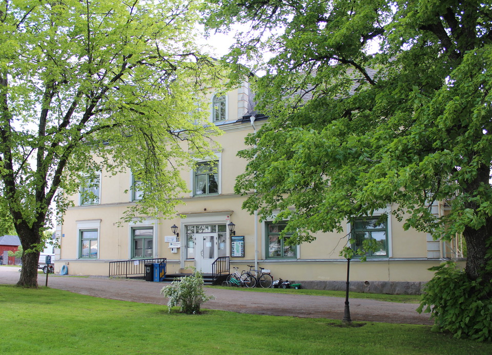
Informationstavla Bogens kyrka

  • Kunta: Arvika
  • 6527.26 km päässä sinusta

Parkkipaikan seurakuntatalon takana Bogenin kirkon sisääntulotie alkaa Prästgårdhöjdeniin, jossa voit kävellä Finnvägenin etelään Fredros tai pohjoinen, jatkaen Finnskogleden ja Mitandersfors.
Tietoa

Informationstavla Lafallhöjden

  • Kunta: Arvika
  • 6535.79 km päässä sinusta

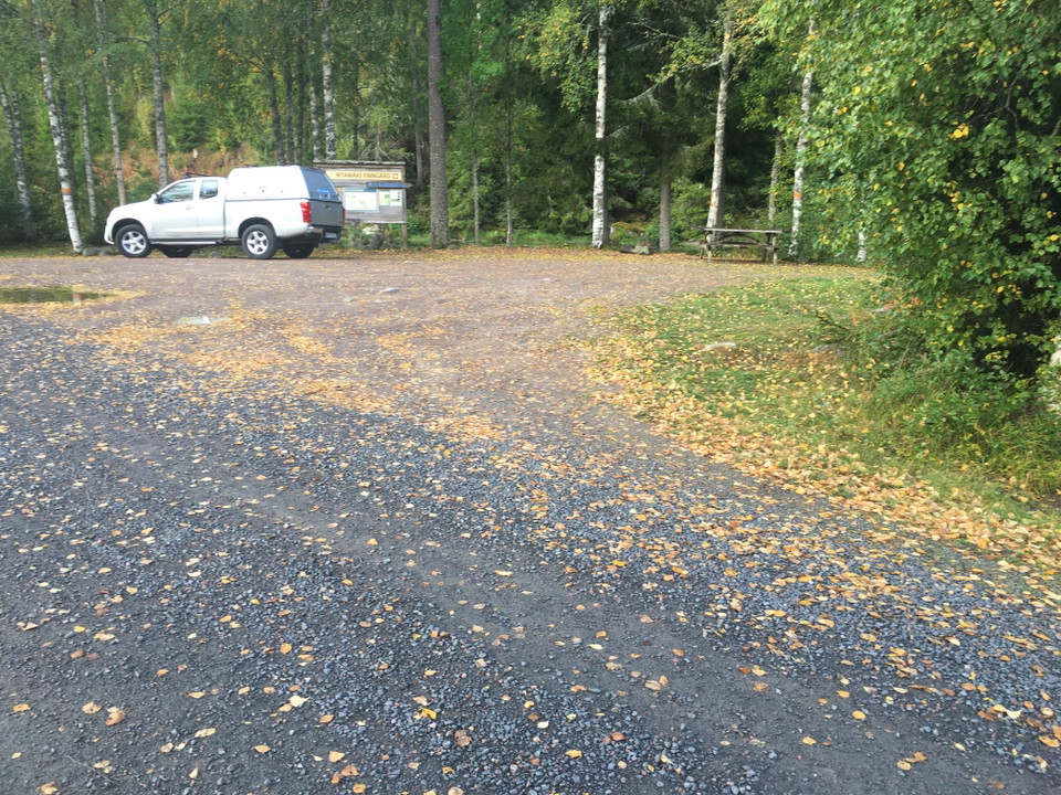
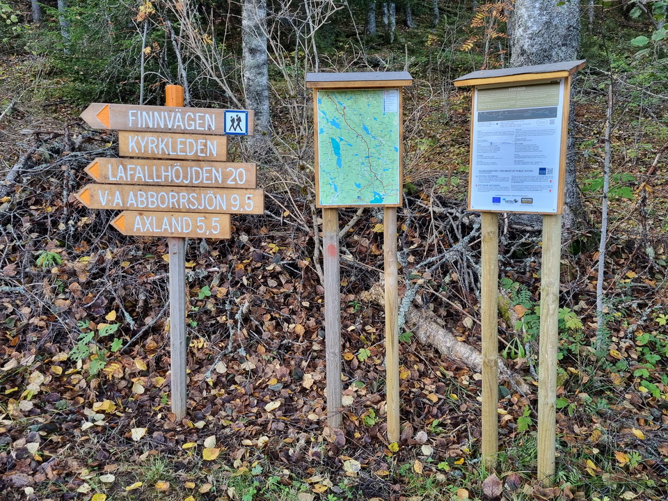
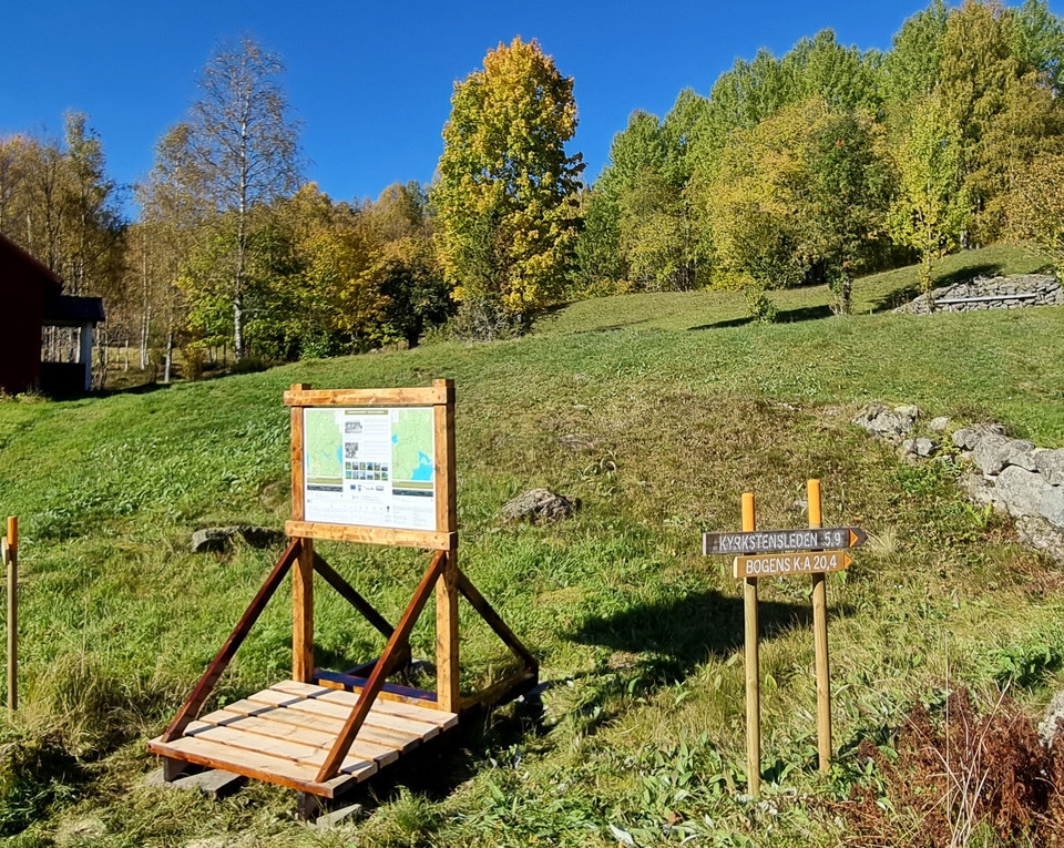
Information board at the trail entry of Kyrkstensleden. You will also find information about the trail Norra Gunnarskogsleden, which passes by Lafallhöjden.

Tietoa

Informationstavla Larstomta

  • Kunta: Arvika
  • 6540.69 km päässä sinusta

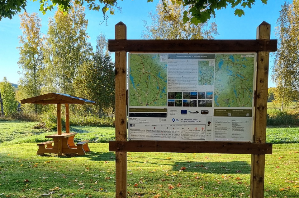
Behind Larstomta there is an information board on the wall of the red wooden building. This is the start of Södra and Norra Gunnarskogsleden. Both are certified HIKING och BIKING trails.

Naturkartan

Avaa tämä sovelluksessa