ARK56 - Blekinges länkade kustleder
Länkade kustleder i ett Unesco biosfärområde

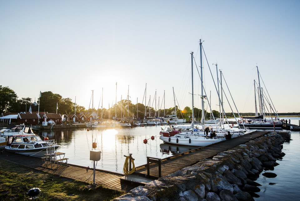
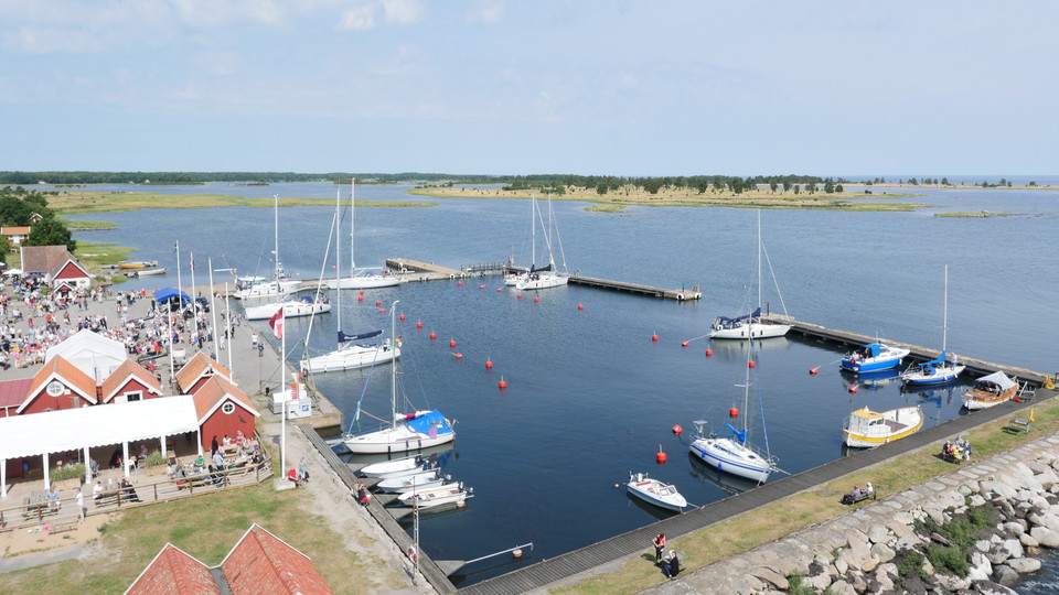
The beautiful harbour of Kristianopel is bustling in the summer with flapping sails, shouting sailors and chugging motor boats. Visitors wander around or settle into the popular café for something to eat. Rest your legs on the benches by the quayside or sit on the jetty watching the people go by and gazing at the view.
GPS coordinates: 56°15.30 N 16°2.48 E Coast chart: 81 – Södra östkusten och Öland Archipelago chart: 713 Depth: 1.5 – 2.8 m No. visitor moorings: 50 (70 buoy) Mooring: Anchor/buoy Services: Shop, pharmacy, mini golf, diesel, showers, electricity, fresh water, LPG, restaurant, tumble dryer, washing machine, toilets. Pump out station.
Source: Visit Blekinge
https://www.karlskrona.se/kommun-och-politik/kontakt-och-dialog/felanmalan/
Karlskrona kommun
Esitä kysymys muille Naturkartan-käyttäjille.
0 arvostelut
Käyttäjien kuvia ei ole vielä. Ole ensimmäinen, joka jakaa kuvan!