
-
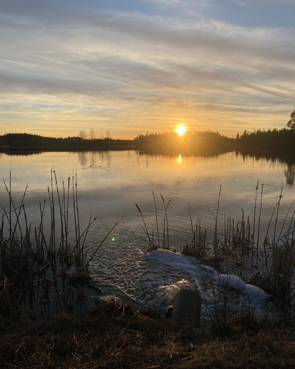
Vy över Rastadammarna
Kuva: Gislaveds kommun
Gislaveds våtmark - vandra kring Rastadammarna
- Vaellusreitit
- Kunta: Jönköpings län
- 6720.88 km päässä sinusta
Polun yksityiskohdat
- Pituus 2.2 km
- Vaikeustaso Vihreä - yksinkertainen
Toiminnot
Kuvaus
On the outskirts of Gislaved there is a constructed wetland adjacent to the treatment plant. The wetland is home to a rich bird life that attracts many birdwatchers. The area has become a very popular hiking area as there is an exercise trail of almost 3 kilometers straight through the wetland. Along the walking trail there are two barbecue areas.
The wetland is currently 18 hectares and holds almost 200,000 cubic meters of water. The water depth ranges from 0.6 meters to 2.5 meters.
Toimintaa ja tilat
- Vaellusreitit
Yhteystiedot
Osoite
Sähköpostiosoite
Emma Sjöberg
Olen ollut täällä 1

Haluan mennä tänne 2
Kysymykset & vastaukset (Q&A)
Esitä kysymys muille Naturkartan-käyttäjille.
Arvostelut
1 arvostelu
- 5 :
- 4 :
- 3 :
- 2 :
- 1 :
Käyttäjien kuvat
Käyttäjien kuvia ei ole vielä. Ole ensimmäinen, joka jakaa kuvan!
