










Göteborgs friluftsguide
Välkommen till Göteborgs friluftsguide!

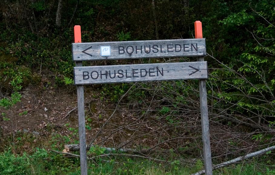
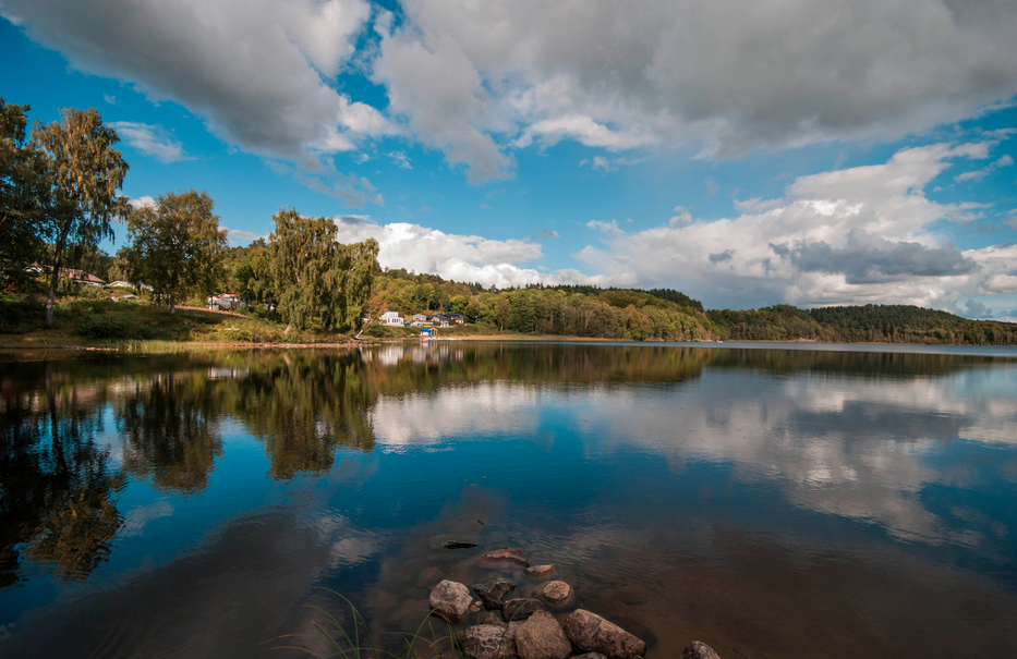
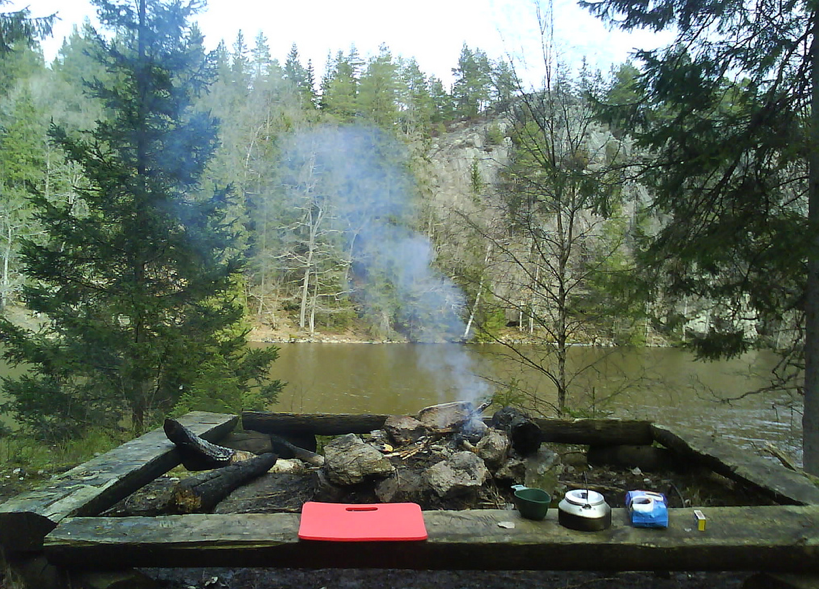
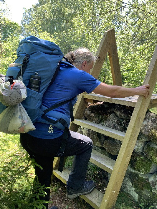
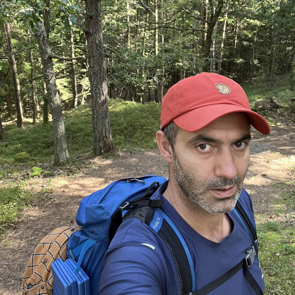
The route is relatively easy to walk, but still long enough to feel longer than a promenade. After completing the hike, you will have covered almost two miles of the Nordsjöleden/Bohusleden. Start at Blåvättnerna near the border with Halland. The finish is north, at Stensjön in Mölndal.
On the way: At Stora Hassungaredssjön there is a swimming and barbecue area, shelter and WC. Herkulesgården has a shelter. Gunnebo Castle with its famous café is conveniently located as a rounding off for the first stage of the Bohus Trail.
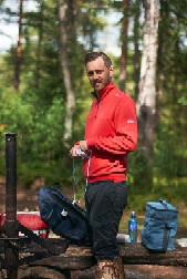
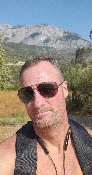
Photo: Dennis Lundqvist, Johan Bengtsson (CCBY2.0)
Bohusleden consists of 27 stages that offer a total of about 35 miles of varied hiking through Bohuslän's beautiful nature. The trail stretches from Älvsåker in the south, on the border with Halland, to Strömstad in the north.


Esitä kysymys muille Naturkartan-käyttäjille.
0 arvostelut
Käyttäjien kuvia ei ole vielä. Ole ensimmäinen, joka jakaa kuvan!