
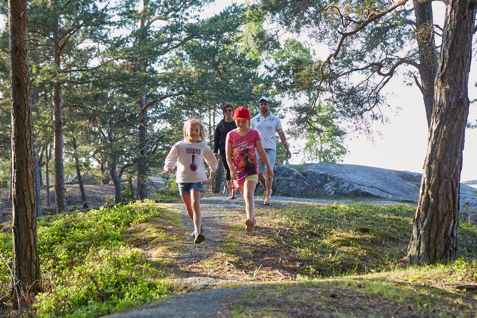
Kleversbergen
- Vaellusreitit
- Kunta: Västra Götalands län
- 6629.29 km päässä sinusta
Polun yksityiskohdat
- Pituus 3.5 km
- Aika 45 min
- Vaikeustaso Sininen – keski
Toiminnot
Kuvaus
Toimintaa ja tilat
- Vaellusreitit
Mäet
Kuperad stig, klippor och rötter.
Reittiohjeet
Public transport: Västtrafik bus 132 Lidköping-Spiken, get off at the Otterstad stop. The trail starts right at the stop.
Car/Bike: Distance 2 miles from Lidköping. Drive towards Läckö and park at Otterstad church.
Yhteystiedot
Osoite
För frågor om ledens sträckning, drift och skötsel samt boenden, restauranger och andra besöksmål i området, kontakta Destination Läckö-Kinnekulle.
Sähköpostiosoite
Destination Läckö-Kinnekulle
Organisaation logotyyppi

Olen ollut täällä 1

Haluan mennä tänne 1
Kysymykset & vastaukset (Q&A)
Esitä kysymys muille Naturkartan-käyttäjille.
Arvostelut
0 arvostelut
- 5 :
- 4 :
- 3 :
- 2 :
- 1 :
Käyttäjien kuvat
Käyttäjien kuvia ei ole vielä. Ole ensimmäinen, joka jakaa kuvan!
