Tietoa

Västmanlands län

Kuvat

Kartta

301 Tietoa

Tietoa

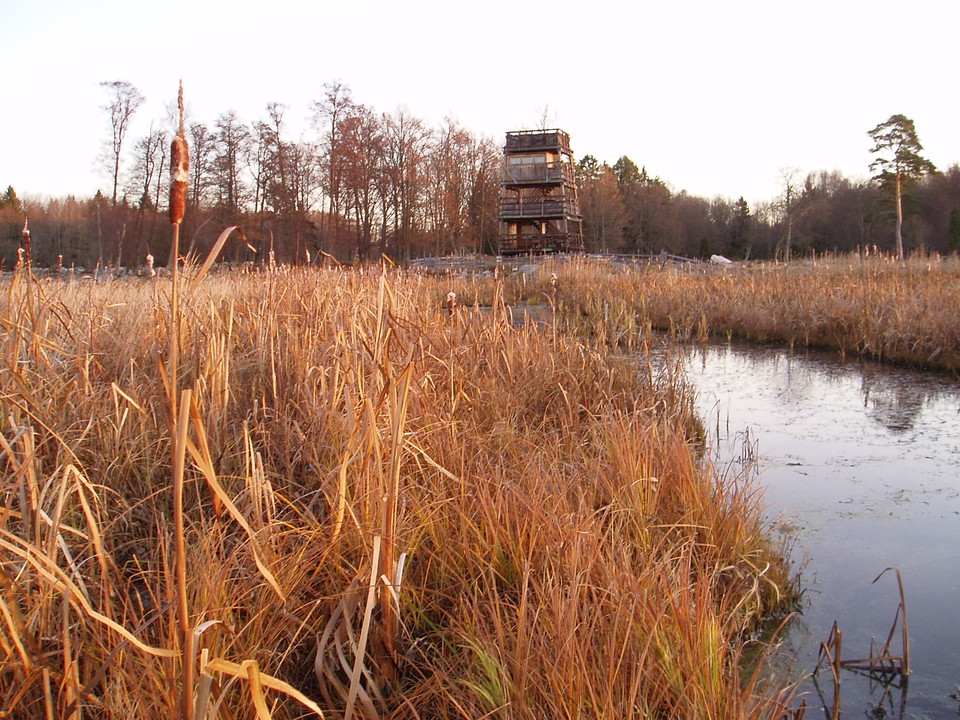
Fågeltorn, Askö

  • Kunta: Västerås
  • 6748.34 km päässä sinusta

The bird tower is four storeys high. A ramp leads to the first floor. One side fence on the first floor has plexiglass. There are stairs between the other floors. There are information boards on the different floors of the bird tower. There are picnic table…
Tietoa

Informationstavla, Kråksten

  • Kunta: Fagersta
  • 6695.91 km päässä sinusta

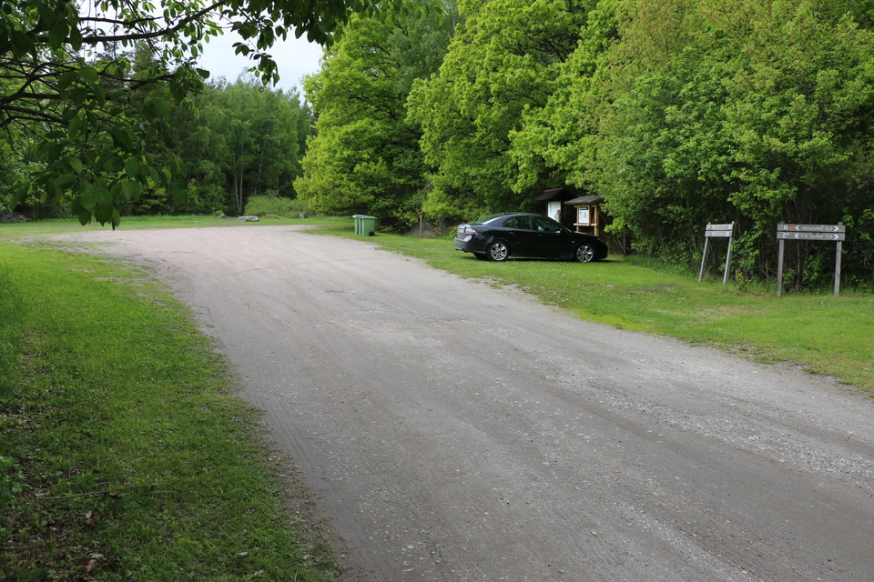
About 20 meters behind the information board you will find Brudslöjan, the county's highest waterfall. The nature reserve does not have a marked parking lot, but you can park a couple of cars on the other side of Ängelsbergsvägen, opposite the nature reserve.

Tietoa

Fotopunkt Grävlingsberget

  • Kunta: Sala
  • 6711.13 km päässä sinusta

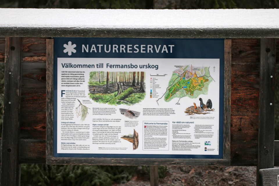
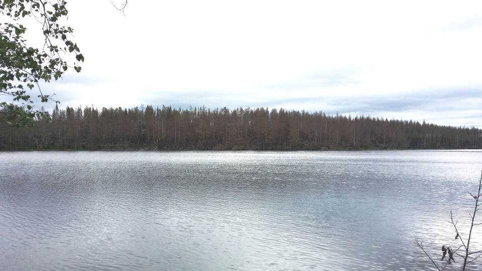
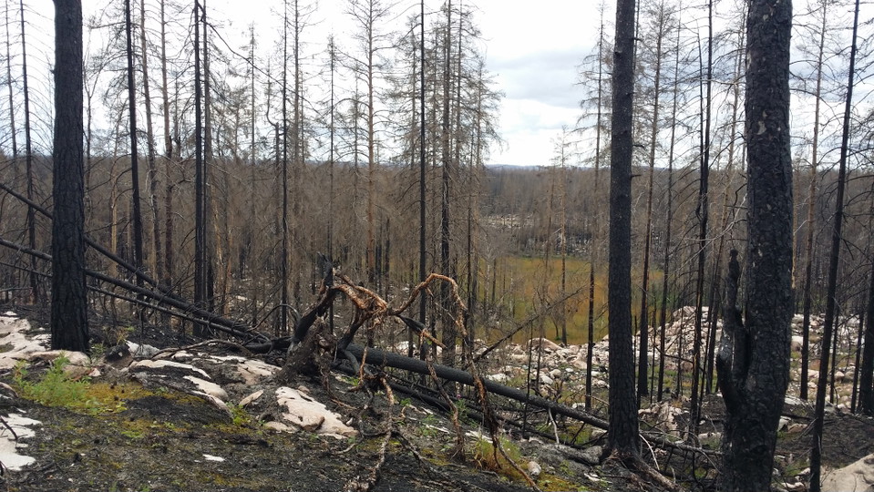
This is where the great forest fire raged in 2014. By taking and sharing your photos on social media, you can help us document how nature is recovering. Here's what you can do:

Tietoa

Fotopunkt Björktjärnen

  • Kunta: Sala
  • 6710.93 km päässä sinusta

Suuri metsäpalo tuhosi vuonna 2014. Valokuvaamalla ja jakamalla kuvia sosiaalisessa mediassa autat meitä dokumentoimaan miten luonto palautuu. Tee näin:

Naturkartan

Avaa tämä sovelluksessa