-
-
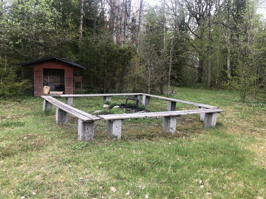
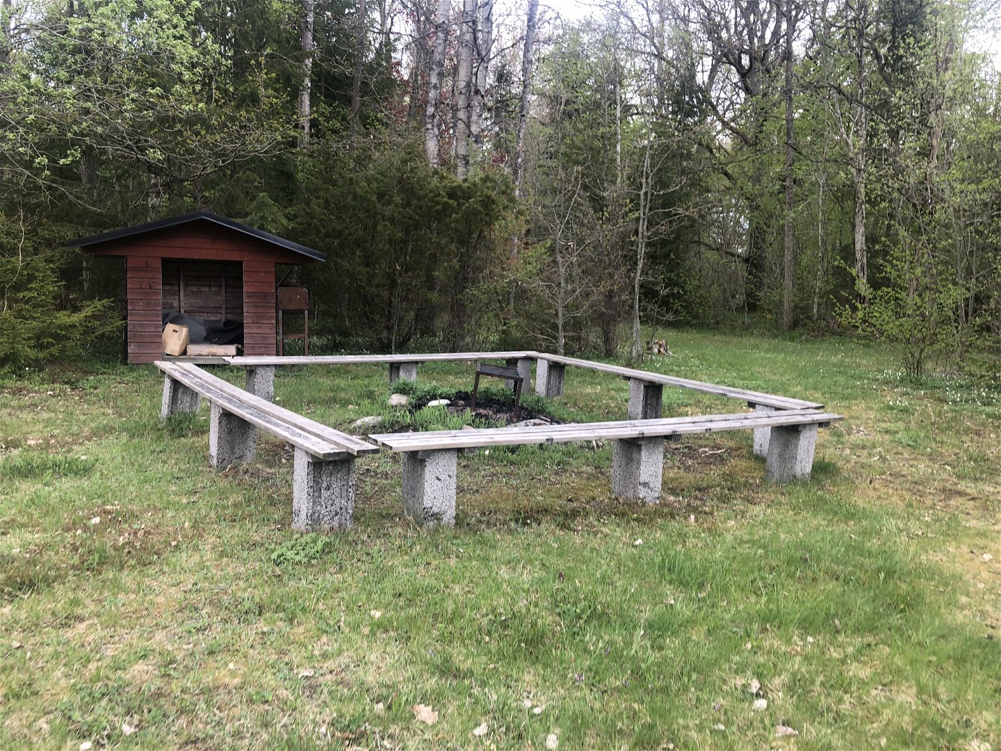
Grillplats vid start och mål
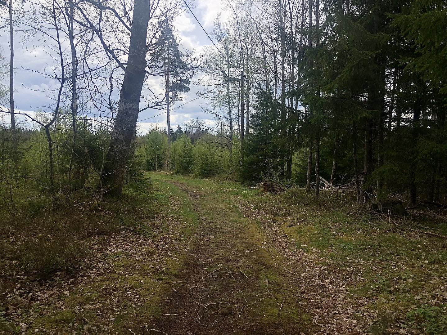

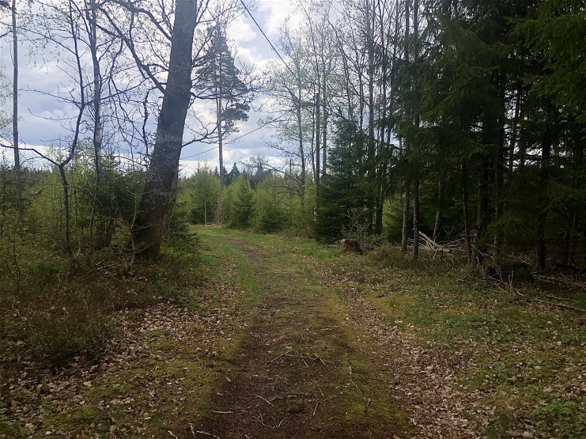
Marhults elljusspår
Elljusspår
- Landkreis: Uppvidinge kommun
- 6824.05 km von Ihnen entfernt
Details zum Weg
- Länge 2.0 km
- Schwierigkeit Blau - mittel
Aktionen
Beschreibung
Marhult’s floodlit trail is on the outskirts of the village. It’s mostly an open landscape but in the middle will you pass through a forest.
Aktivitäten und Einrichtungen
-
 Mountainbike
-
 Running
-
 Skifahren
-
 Promenad
-
Elljusspår
Oberfläche
Gravel and forests roads.
Parking
Park on Slättebolsvägen.
Anleitung
Follow the sign towards Slättebol from road 31. After about 500 metres is there a small road on the left.
Kontakt
E-Mail-Adresse
Kultur- och fritidsavdelningen i Uppvidinge kommun
Fragen & Antworten
Stellen Sie eine Frage an andere Naturkartan-Nutzer.
