
-
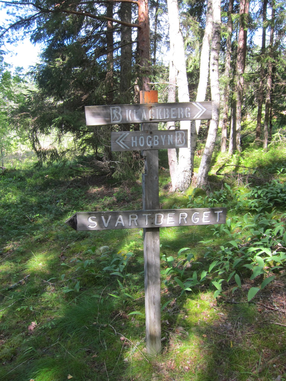
Foto: Ylva Norén -
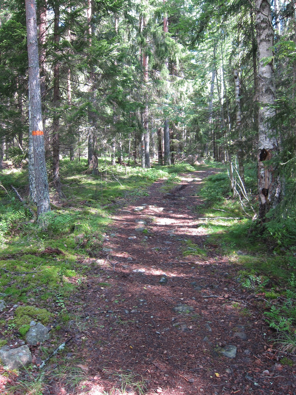
Foto: Ylva Norén -
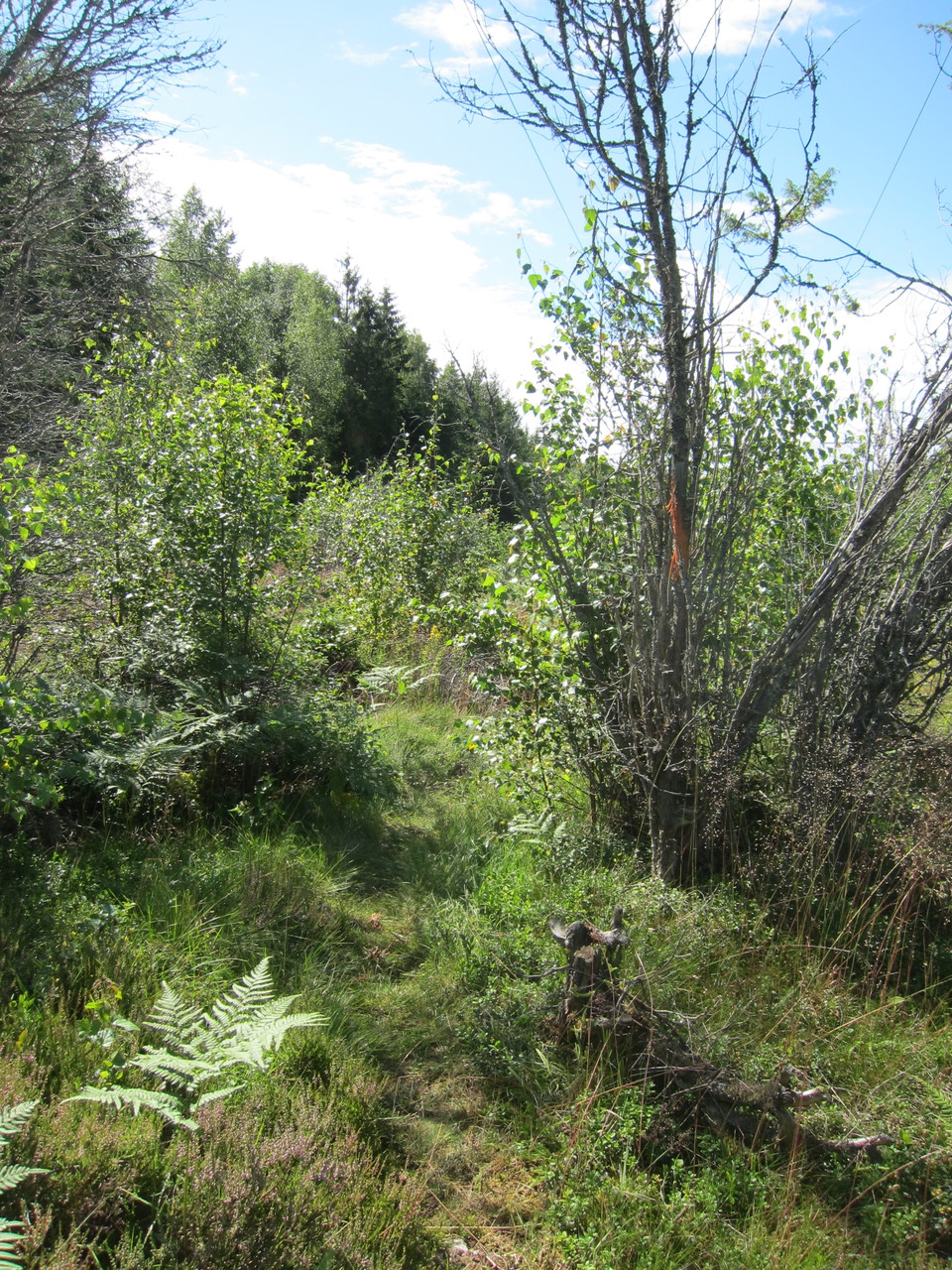
Foto: Ylva Norén -
Foto: Ylva Norén -
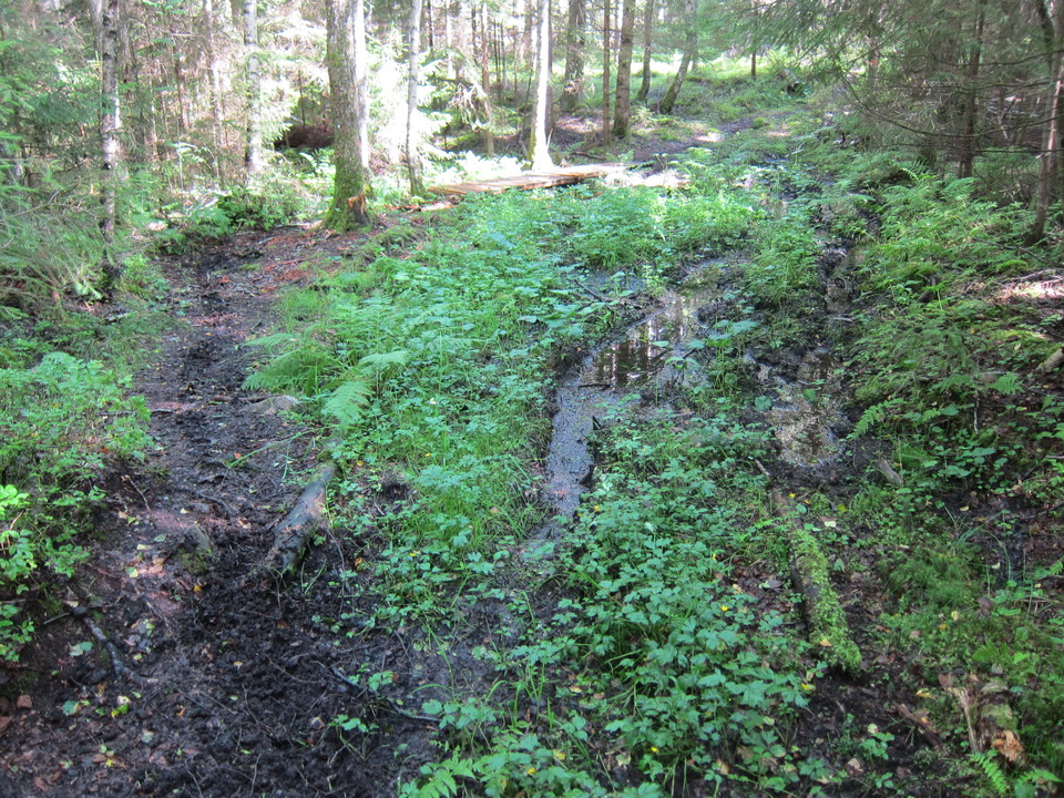
Foto: Ylva Norén -
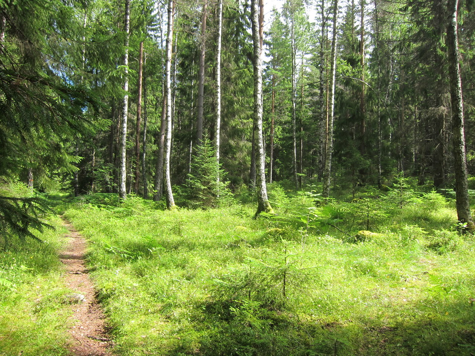
Foto: Ylva Norén
Vandringsled, Jättåsarna
- Vandring
- Amt: Västmanlands län
- 6687.58 km fra dig
Ruteoplysninger
- Længde 4.1 km
Handlinger
Beskrivelse
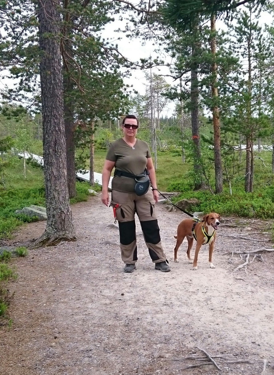
From the parking lot in the southern part of the reserve there is a hiking trail that is part of Bruksleden. It is a path of varying width that largely follows the old "Semlavägen" route that existed already in the 17th century. The main trail winds in a north-south direction from the Svartberget nature reserve in the south and through the area. It passes along the power line street and several mine holes before continuing in the direction of Fagersta.
Right at the foot of Jätteåsarna in the south, the trail splits and an eastern road climbs the southern slope of the mountain towards the Augusta mine. The road is clearly made up of residual products from the mines consisting of calcareous crushed stone. In places it forms a shelf in the terrain. This road is also now part of Bruksleden
Aktiviteter og faciliteter
- Vandring
Kontakt
Adresse
Kontakta mig om du har frågor om Naturkartan Västmanland.
E-mailadresse
Daniel Anundi
Organisationens logotype
Jeg har været her 5

Jeg vil gerne derhen 9


Spørgsmål og svar
Stil et spørgsmål til andre Naturkartan-brugere.
Anmeldelser
0 anmeldelser
- 5 :
- 4 :
- 3 :
- 2 :
- 1 :
Brugernes billeder
Der er endnu ingen brugerbilleder. Vær den første til at dele et!
