
-
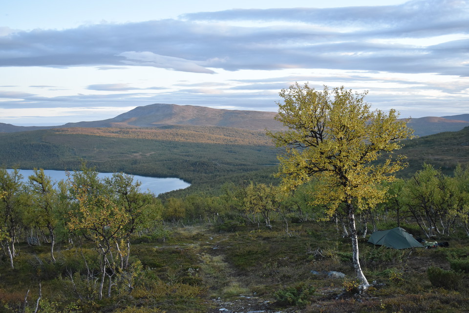
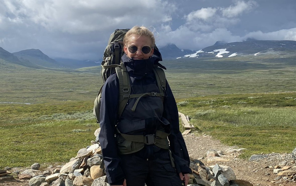
Ovanför sjön Gottern.
Foto: Andreas Karlsson -
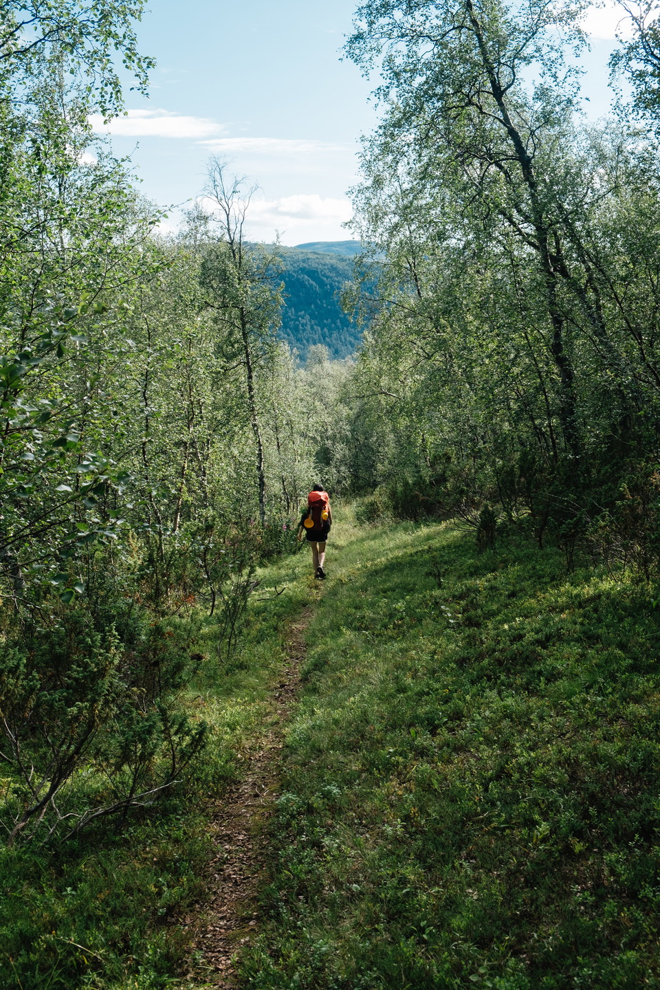
Foto: Oskar Karlin
Gränssjö – Åtnikstugan, Lapplandsleden
- Vandring
- Amt: Västerbottens län
- 6364.68 km fra dig
Ruteoplysninger
- Længde 21.8 km
Handlinger
Beskrivelse
The terrain is wet at first, but then becomes relatively easy to walk. Two thirds of the stage is in mountain birch forest.
At the top of Njeeretjahke you can see all the way back to Norra Storfjället and a little further along the road you can see towards Marsfjället.
Above Lake Gottern before the trail descends into the birch forest, or down by the bridge over Gajsarjohkka, there are good tent sites. There is not much water up on the mountain so bring some if you plan to camp up here. Above Gottern there are some smaller springs in the forest.
After another 11-13 km depending on the previous campsite you reach Åtnikstugan. Here you can either spend the night in the cabin or camp on the farm. Take the opportunity to get water in the bubbling cold spring.
There is also a good camping spot if you take the trail about 1 km up to Åtnikkjavrie. Lill Brita's hut used to be located by the mirror-like ponds, and the open meadowland is still there today. It also works well to camp on some of the ridges a bit before the cottage where the trail follows the river.
**Approximate time to hike the route: 1-2 days
Aktiviteter og faciliteter
- Vandring
Kontakt
E-mailadresse
Länsstyrelsen Västerbotten
Organisationens logotype

Jeg har været her 2


Jeg vil gerne derhen 14

Spørgsmål og svar
Stil et spørgsmål til andre Naturkartan-brugere.
Anmeldelser
0 anmeldelser
- 5 :
- 4 :
- 3 :
- 2 :
- 1 :
Brugernes billeder
Der er endnu ingen brugerbilleder. Vær den første til at dele et!
