
Rundslinga Värmlandsgården
- At gøre
- Vandring
- Amt: Värmlands län
- 6592.36 km fra dig
Handlinger
Beskrivelse
Beautiful hiking trail that starts and ends at Värmlandsgården and takes you through the changing lanscape of Värmland.
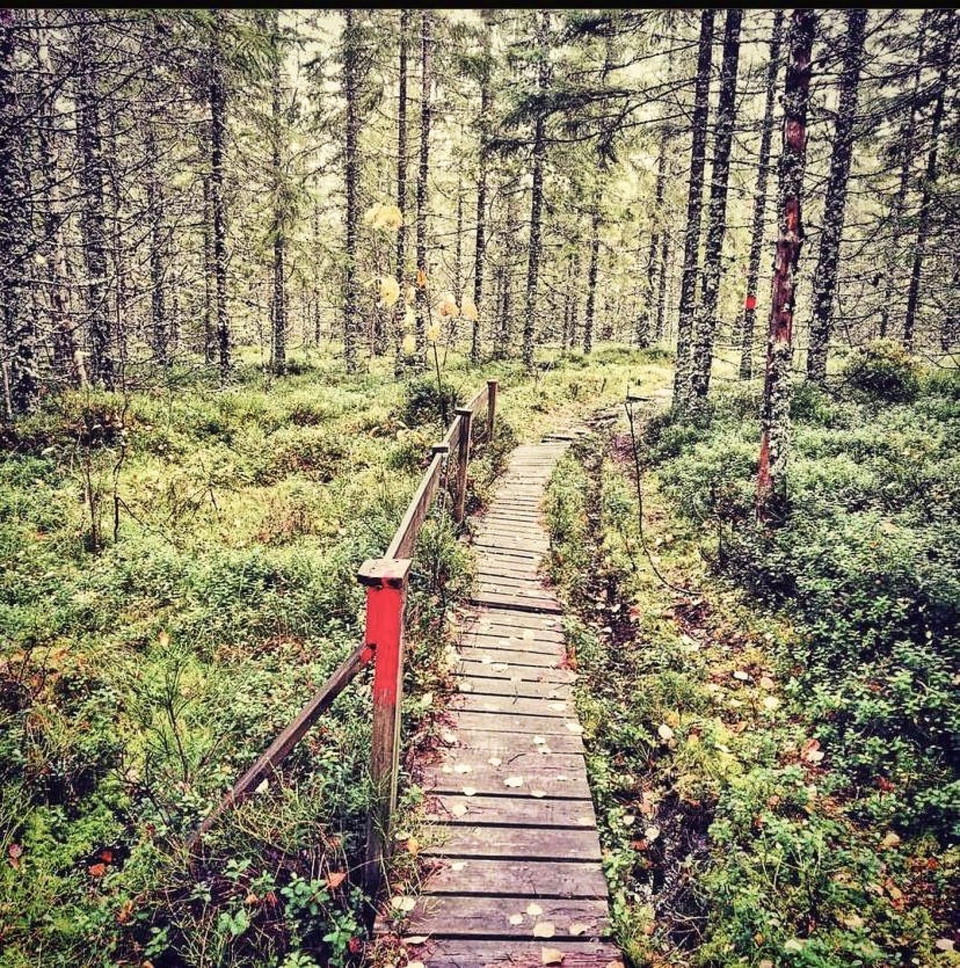
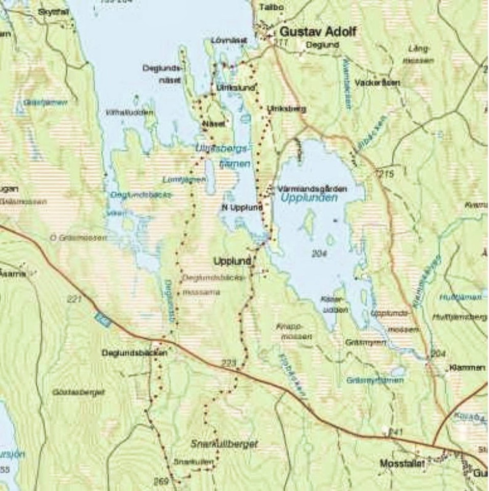
This Värmland trail starts and ends at Värmlandsgården. Some of it follows gravel roads, but most of it follows narrow forest paths. The trail is varied and in the southern part you go up to 'Snarkullen'. At the top you have a fantastic view of lakes and forests. In the summer it is wonderful to end the hike at Värmlandsgården with a dip in the lake or enjoy an ice cream in the sun.
The Värmlandsgården circular trail gives you the opportunity to easily get out and discover the natural and cultural environment in northern Värmland. Keep in mind that the trail mostly goes on land that the landowners have voluntarily given away. The main rule is: Do not disturb - do not destroy.
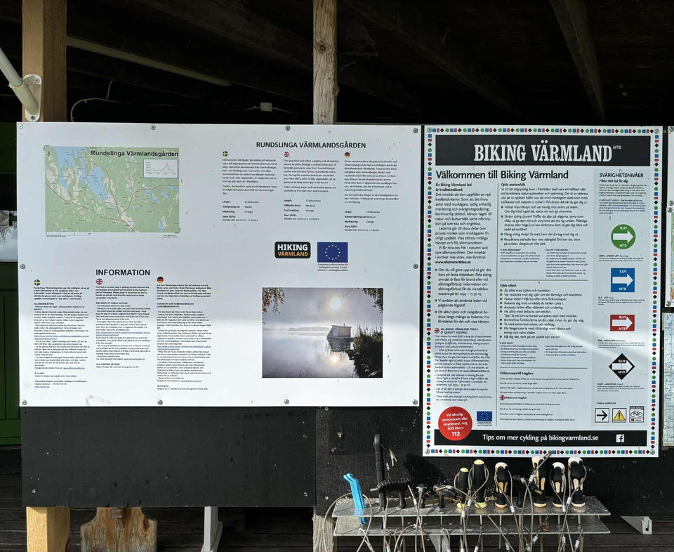
Length: 13.5 km Difficulty: Medium Marking: Red Start (GPS): 60.05081, 13.865519
Aktiviteter og faciliteter
- At gøre
- Vandring
Kontakt
E-mailadresse
Kontakta VisitVärmland
Organisationens logotype

Jeg har været her
Jeg vil gerne derhen 1

Spørgsmål og svar
Stil et spørgsmål til andre Naturkartan-brugere.
Anmeldelser
0 anmeldelser
- 5 :
- 4 :
- 3 :
- 2 :
- 1 :
Brugernes billeder
Der er endnu ingen brugerbilleder. Vær den første til at dele et!
