

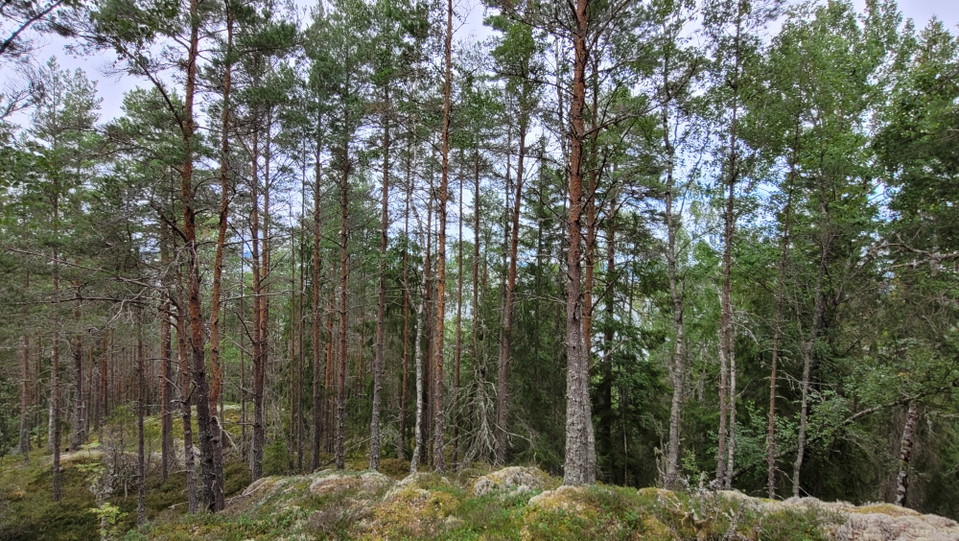
Fornlämning fornborg
- Forhistorisk/kulturarv
- Amt: Värmlands län
- 6561.76 km fra dig
Handlinger
Beskrivelse
Here on the summit of Rudsklätten are the remains of a prehistoric fort. There is a stone cist in the southern part of the fort and several burial cairns along the water's edge facing Glafsfjorden.
The fort is bounded by a stone rampart at the most accessible points. This rampart may have had a superstructure - a palisade or some other timber structure - which either burned down or rotted away. Prehistoric hill forts are usually dated to the late Iron Age (400-1050 A.D.). This fort, however, is located in an area which has several Bronze Age (1800-500 B.C.) archeological sites and has no connection with other remains from the Iron Age, so possible it may already have been constructed in the Bronze Age. If so, it was probably an obervation point or a fortified permanent settlement.
Ancient finds are protected by Law.
Source: A sign post on site by Länsstyrelsen Värmland (The Country Administrative Board) and Riksantikvarieämbetet (The Swedish National Heritage Board).
Aktiviteter og faciliteter
- Forhistorisk/kulturarv
Kontakt
Adresse
Besöksadress:
Visit Arvika
Arvika Turistcenter
Storgatan 22
671 31 Arvika
www.visitarvika.se
E-mailadresse
Visit Arvika
Organisationens logotype

Jeg har været her
Jeg vil gerne derhen
Spørgsmål og svar
Stil et spørgsmål til andre Naturkartan-brugere.
Anmeldelser
0 anmeldelser
- 5 :
- 4 :
- 3 :
- 2 :
- 1 :
Brugernes billeder
Der er endnu ingen brugerbilleder. Vær den første til at dele et!
