
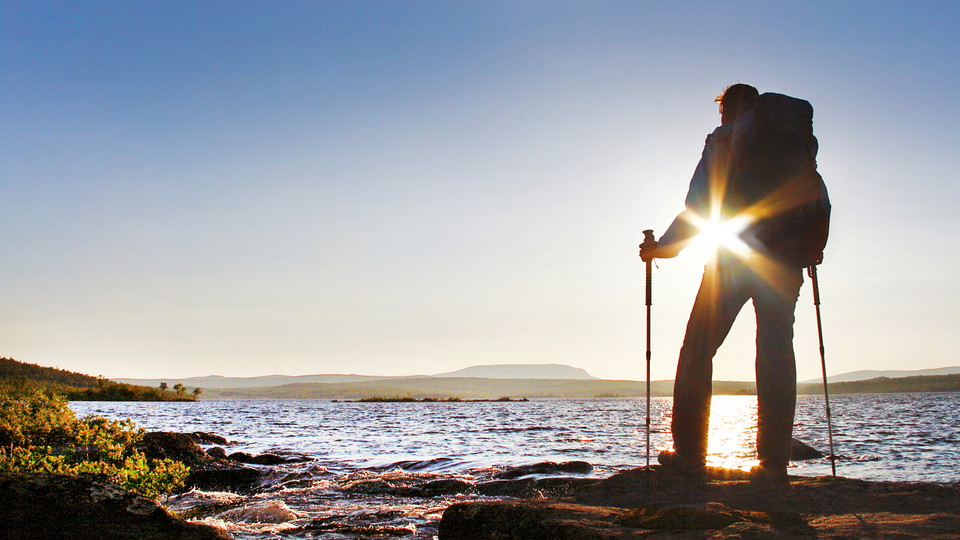

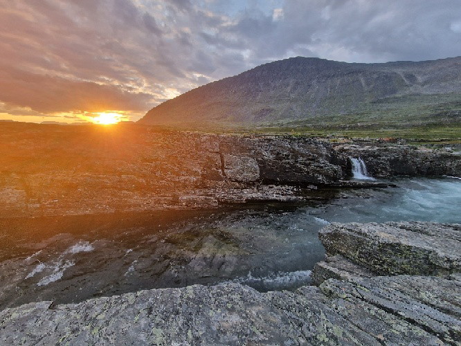
Vandringsled BD87 mellan Jäkkvik och Adolfström
- Vandring
- Amt: Norrbottens län
- 6401.36 km fra dig
Ruteoplysninger
- Længde 22.0 km
Handlinger
Beskrivelse
Aktiviteter og faciliteter
- Vandring
Overflade
Mostly easily hiked trail, except for the descent from the Pieljekaise Cabin to the southern national park boundary, where the trail is rocky and steep in places.
Kommunikation
You get to Jäckvik and Adolfström by car or bus. During the season there can be bus connections between Arjeplog and Jäckvik, and between Arjeplog and Adolfström, see Länstrafiken Norrbotten for more information. There is a car park at the start of the trail at Jäckvik and at the harbour in Adolfström.
Kontakt
E-mailadresse
Länsstyrelsen Norrbotten
Organisationens logotype
Jeg har været her 13


Jeg vil gerne derhen 49







Anmeldelser
—
0 anmeldelser
- 5 :
- 4 :
- 3 :
- 2 :
- 1 :
Spørgsmål og svar
Stil et spørgsmål til andre Naturkartan-brugere.
Brugernes billeder
Del dine billeder fra stedet!
