
Tranås
Bästa vandringslederna i Tranås
Naturkartan samlar de vandringslederna i Tranås som är populärast bland våra användare.
Kort
30 Bästa vandringslederna i Tranås
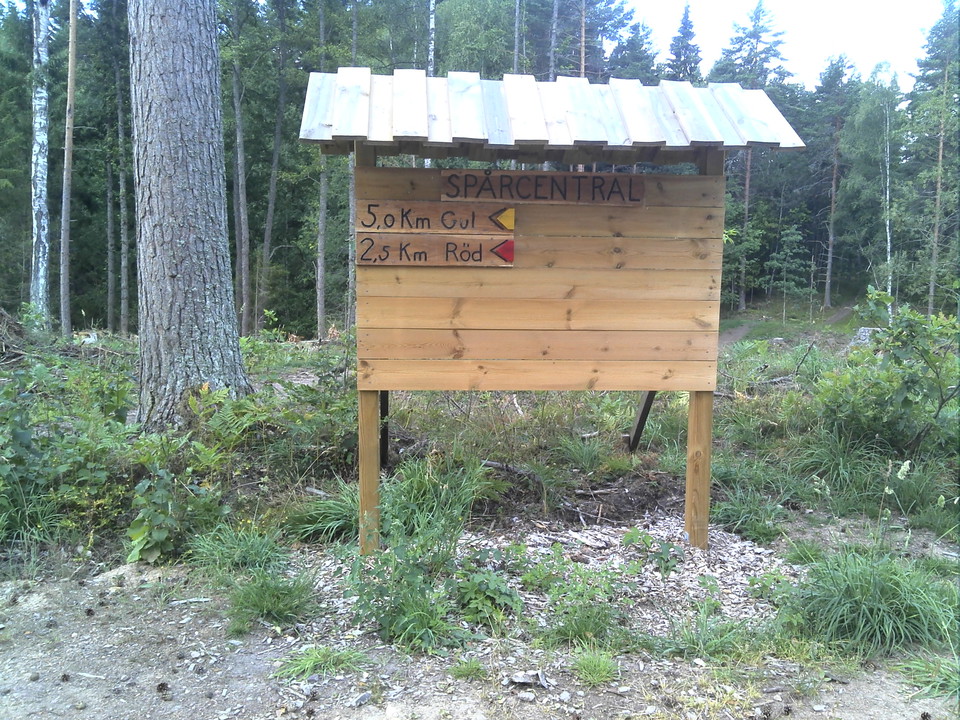
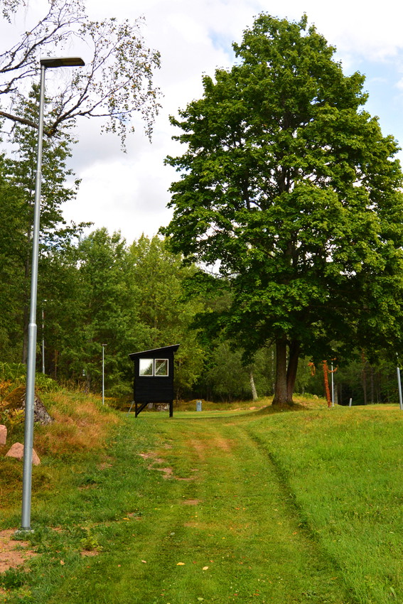
Aggas elljusspår 2,8 km
- Kommune: Tranås
- 6748.84 km fra dig
- 2.8 km
Agga's lighted trail is located north of the community of Sommen, is 2.8 km long and offers good and illuminated running opportunities or skiing even during the darker parts of the year. The trail has been renovated in 2016 and has new electric poles with b…
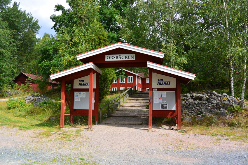
Örsbäcken - Gröna spåret 10 km
- Kommune: Tranås
- 6757.35 km fra dig
- 9.8 km
Örsbäckens longest trail of 10 km starts with running through a more open cultural landscape before you come up on some ridges with beautiful sparse pine forest, then you come down to the eastern side of Lake Illern, which you then follow to the lighted tra…
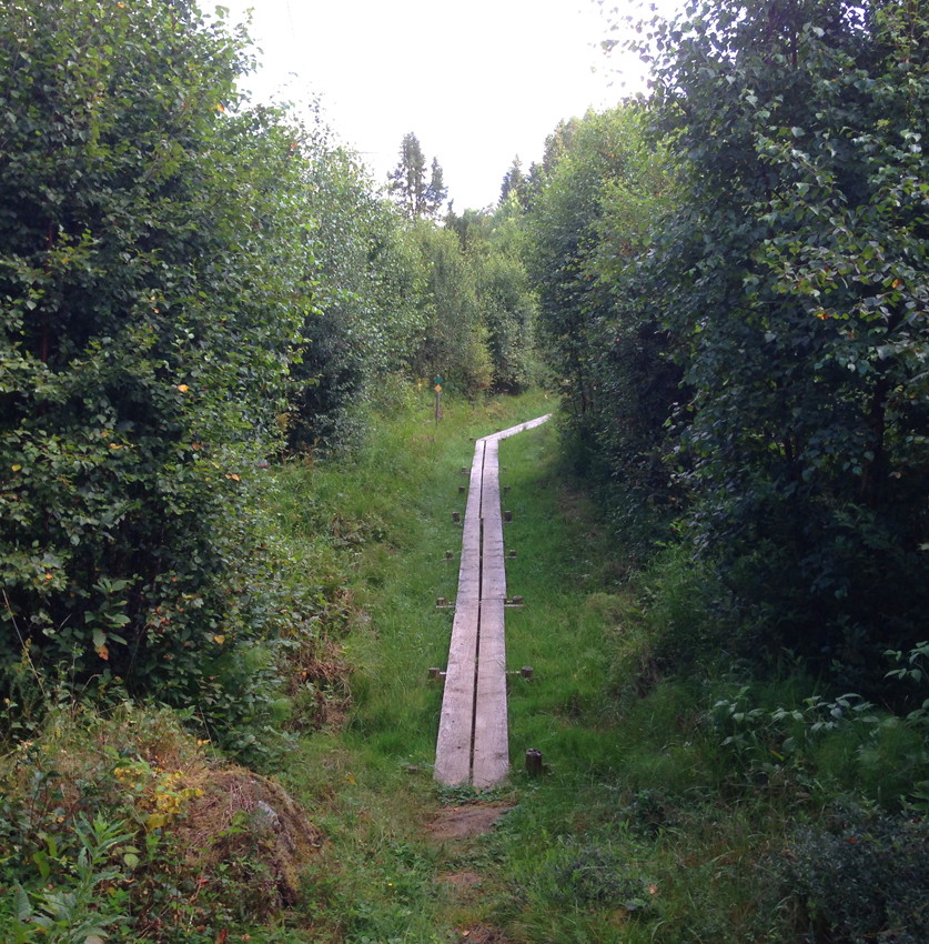
Aggas - Gröna spåret 10 km
- Kommune: Tranås
- 6748.51 km fra dig
- 10.2 km
Aggas - Green trail is 10 km long and takes you well north into Östergötland and then back south to Sommen. Initially, you follow the same routes as the yellow and red trails.
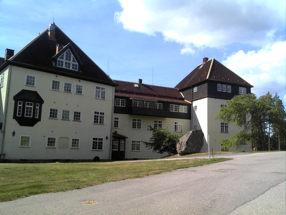
Romanäs - Östra promenaden 2,5 km
- Kommune: Tranås
- 6755.63 km fra dig
- 2.5 km
The Eastern Walk in Romanäs is 2.5 km long and one of Tranås' must-do scenic walks. You pass by the remarkable Romanäs sanatorium and then follow the beautiful shore of Lake Sommens towards the north. Here is a nice little boat dock / natural harbor on the…
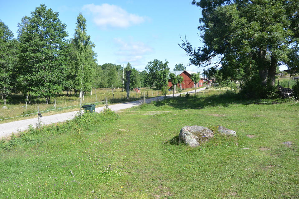
Romanäs - Löverhultsleden 4,4 km
- Kommune: Tranås
- 6754.84 km fra dig
- 4.4 km
Romanäs - Löverhultsleden offers a 4.4 km long hiking experience through a beautiful cultural landscape, further along the Summer shoreline and finally past the architecturally and historically interesting Romanäs sanatorium. You start the walk from the nat…
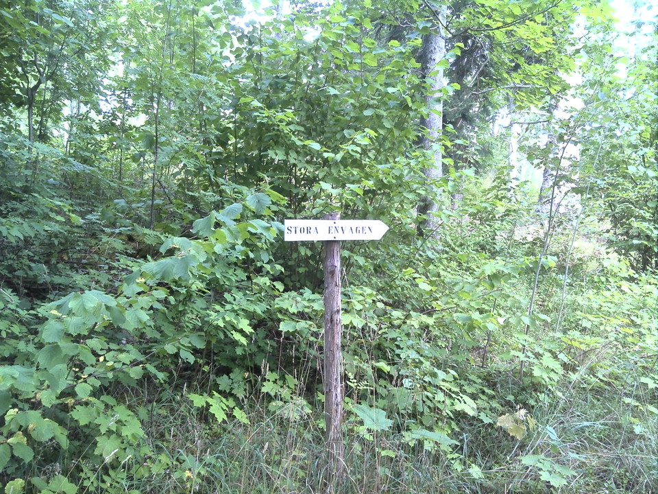
Romanäs - Stora Envägen/Scharps väg 1,3 km
- Kommune: Tranås
- 6755.61 km fra dig
- 1.3 km
Stora Envägen/Scharps väg is an approximately 1.3 km long hiking trail that starts from Romanäs nature reserve's parking lot and takes you through beautiful coniferous forest down to Romanäs sanatorium. There are simple directional signs along the way from…
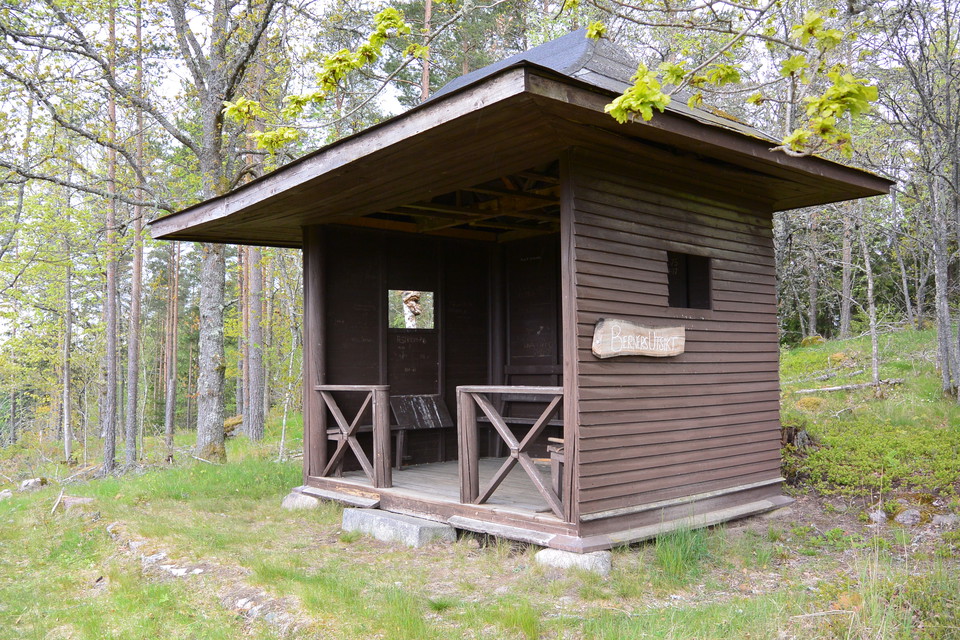
Berners utsikt/Gubbebacken
- Kommune: Tranås
- 6755.31 km fra dig
- 1.6 km
The Berners utsikt/Gubbebacken trail takes you through the varied habitats of Romanäs Nature Reserve. You start from the reserve's parking lot and initially move through a beautiful oak forest. Keep to the right when the path splits and you will eventually…
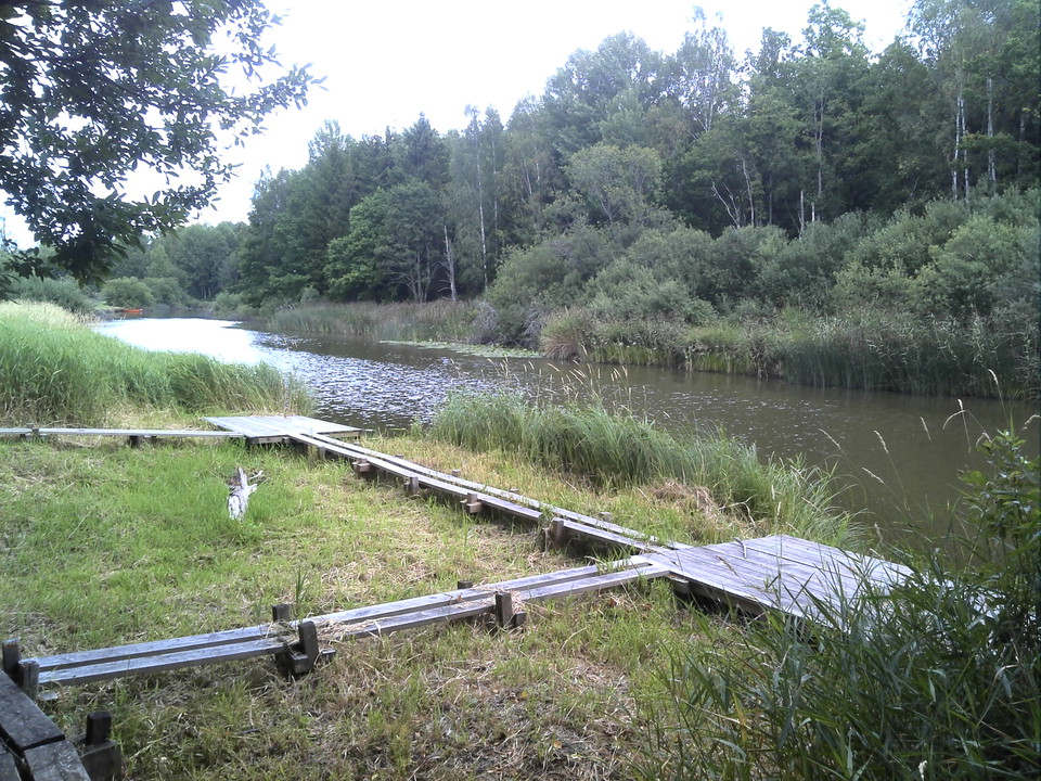
Åbonäs/Katarp
- Kommune: Tranås
- 6754.88 km fra dig
- 2.0 km
Åbonäs/Katarp offers high natural values and wonderful opportunities for fishing, birdwatching, hiking and enjoying nature. On the Katarp side along the Svartån river, there is a trail with footbridges over wet areas out towards the mouth of Säbysjön. Platf…
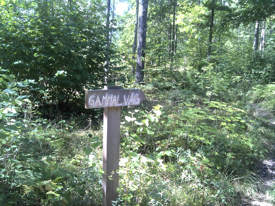
Romanäs - Västra promenaden 1 km
- Kommune: Tranås
- 6755.41 km fra dig
- 1.3 km
Västra promenaden in Romanäs is one of the paths built to facilitate forest walks for the tuberculosis patients who were once treated at Romanäs sanatorium. You can still see how the path has been wound like a serpentine through some steeper sections and re…
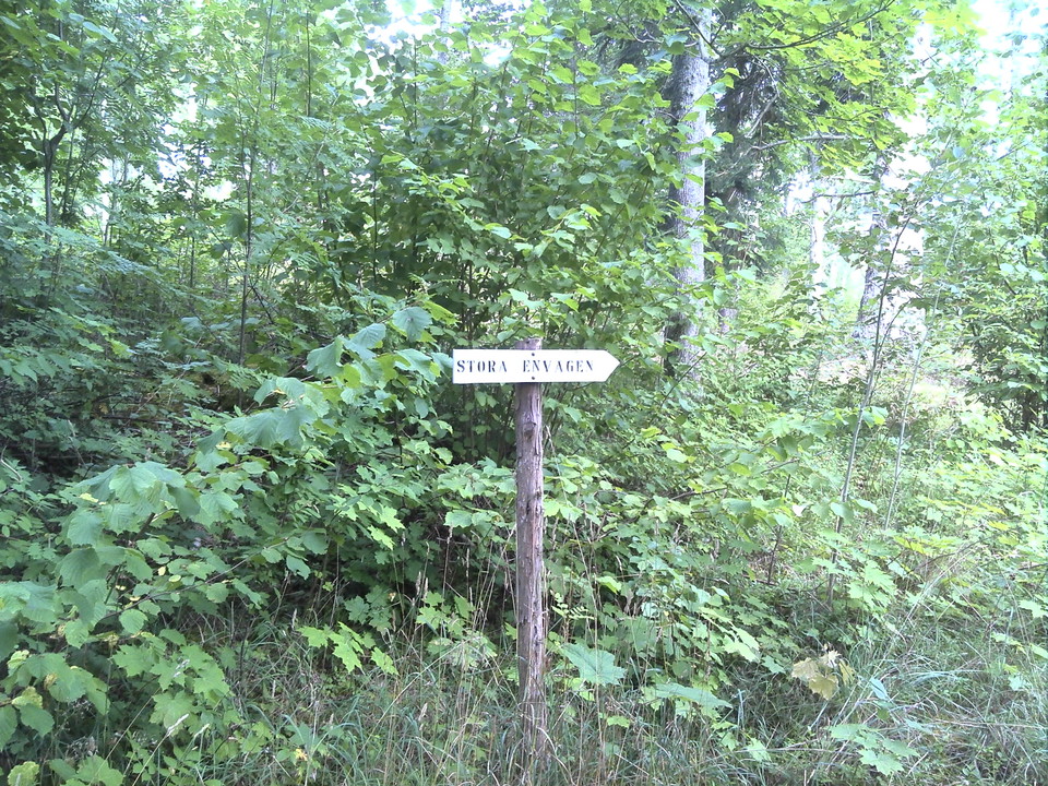
Romanäs - Stora Envägen 1,1 km
- Kommune: Tranås
- 6755.61 km fra dig
- 1.1 km
Stora Envägen in Romanäs is a 1.1 km long hiking trail that starts from the information board at the nature reserve's parking lot. The trail starts from the parking area on the other side of the road from the information board, follow the white sign posted.…

Toppegölstigen
- Kommune: Tranås
- 6734.97 km fra dig
- 2.0 km
Vandringsstig med uppförskänsla över stock och sten.Vandringen bjuder på både näringsrik granskog och karga hällmarkspartier samt den lilla Toppegölens vattensamling.I yngre delar av skogen pågår restaureringsåtgärder för att skapa en mer trädslagsvarierad…
Barmarksled, Holavedens urskog
- Kommune: Tranås
- 6751.15 km fra dig
- 0.4 km
En kort promenad på en gammal bruksväg och upp ovanför branten i en slinga. orange
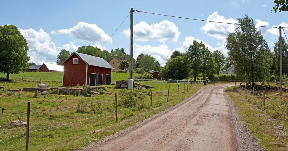
Holavedsleden etapp HO3 Adelöv - Gripenberg - En del av Smålandsleden
- Kommune: Tranås
- 6739.81 km fra dig
- 23.2 km
- 350
- Sværhedsgrad: Blå
From Adelöv, Holavedsleden continues south through a quiet and varied landscape. Here the trail goes through forests, across small open fields and past quiet forest lakes. The terrain is slightly to moderately hilly and is ideal for a pleasant day hike. Alo…
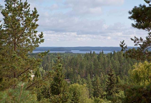
Holavedsleden etapp HO4 Gripenberg - Hätte - En del av Smålandsleden
- Kommune: Tranås
- 6754.04 km fra dig
- 15.8 km
- 240
- Sværhedsgrad: Blå
The final stage of the Holavedsleden trail takes you from Gripenberg to Hättebadet on Lake Sommen, just outside Tranås. The hike goes through an easy-to-walk and varied landscape with forest trails, small gravel roads, and open pastures. During this stage,…
Bästa vandringslederna i Tranås
Naturkartan samlar de vandringslederna i Tranås som är populärast bland våra användare.
