
Jämtlands län
Bästa vandringslederna i Jämtlands län
Naturkartan samlar de vandringslederna i Jämtlands län som är populärast bland våra användare.
Kort
268 Bästa vandringslederna i Jämtlands län

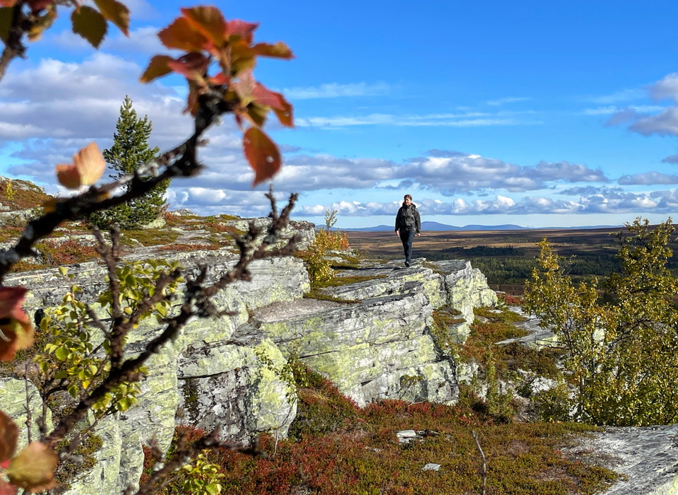
Förbindelseled mellan led 109 och 105, led 210 (sommarled Oviksfjällen)
- Kommune: Åre
- 6432.42 km fra dig
- 0.5 km
Falkfångaren - Gräftåvallen led 214 (sommarled, Oviksfjällen)
- Kommune: Berg
- 6439.56 km fra dig
- 8.1 km
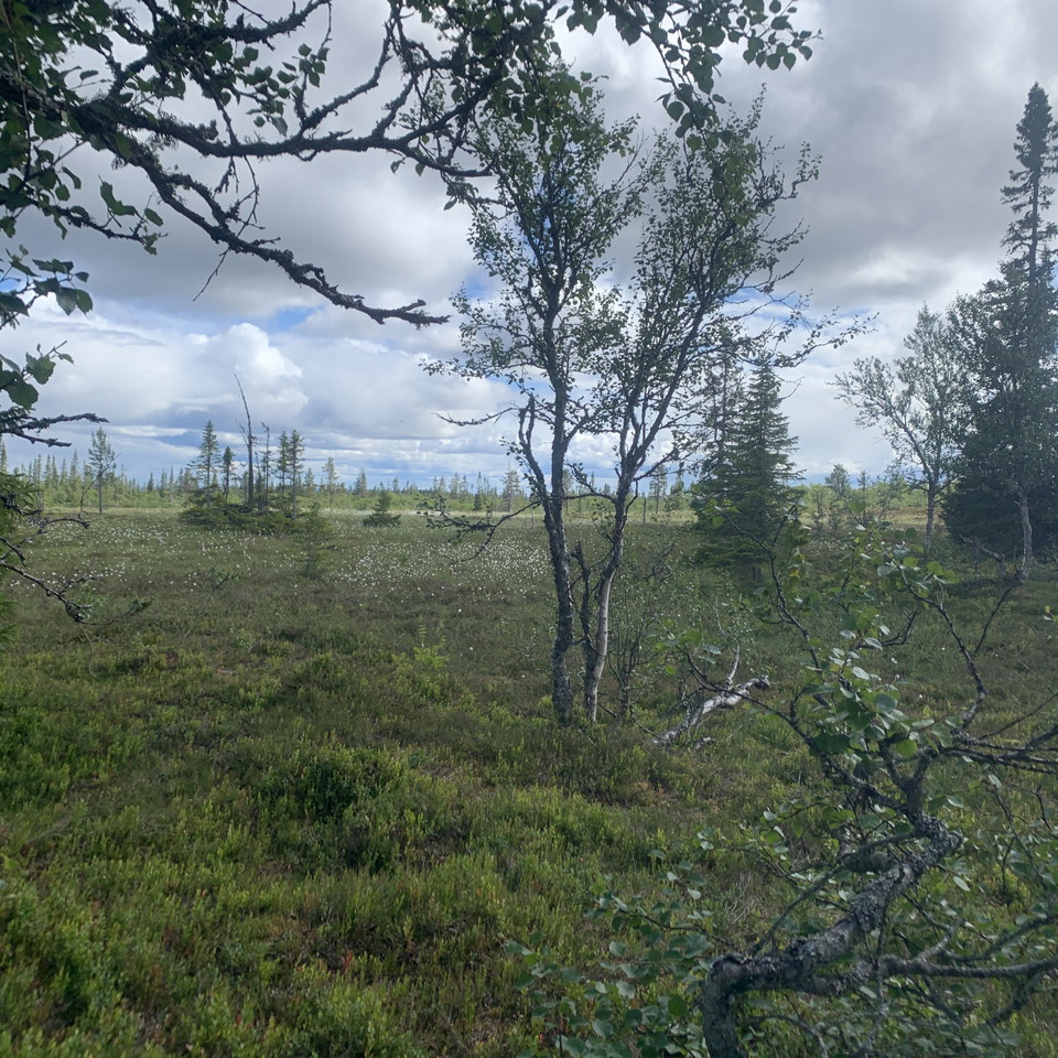
Korskälla - Mölingdalsvallen, Romboleden Alternativ väg Etapp 23-24
- Kommune: Härjedalen
- 6502.75 km fra dig
- 22.8 km
- 684
- Sværhedsgrad: Rød
Wilderness trail, path missing for the first mile between Korskälla and Knösen, then gravel road. Follow the pilgrimsign to stay on trail. Thanks to the landowners – show consideration when hiking St Olav Rombo Way runs mainly through actively cultivated f…
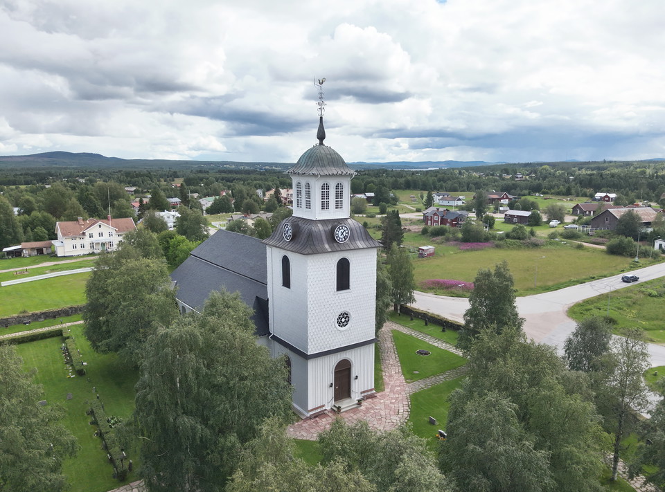
Lillhärdal - Lövnäsvallen, Romboleden Etapp 24
- Kommune: Härjedalen
- 6487.91 km fra dig
- 43.8 km
- 1320
- Sværhedsgrad: Rød
Gravel roads lead you through forests, marshlands, and past streams. The walk is mostly along roads and is relatively easy. You walk between two historic locations. Helga and Härjulf Hornbrytare are considered the first inhabitants and founders of Härjedale…
Hyttstigen (vandringsled, Huså)
- Kommune: Åre
- 6385.76 km fra dig
- 2.5 km
Hyttstigen is a hiking trail that runs through Husås heart of history. You start at the copper men and walk along the Husån river and all the monuments that exist, turn over the bridge and through the Husåspelens playground, up through the woodwork (demandi…
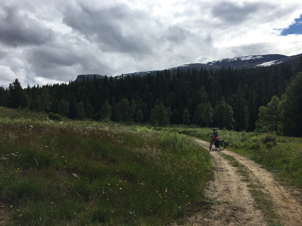
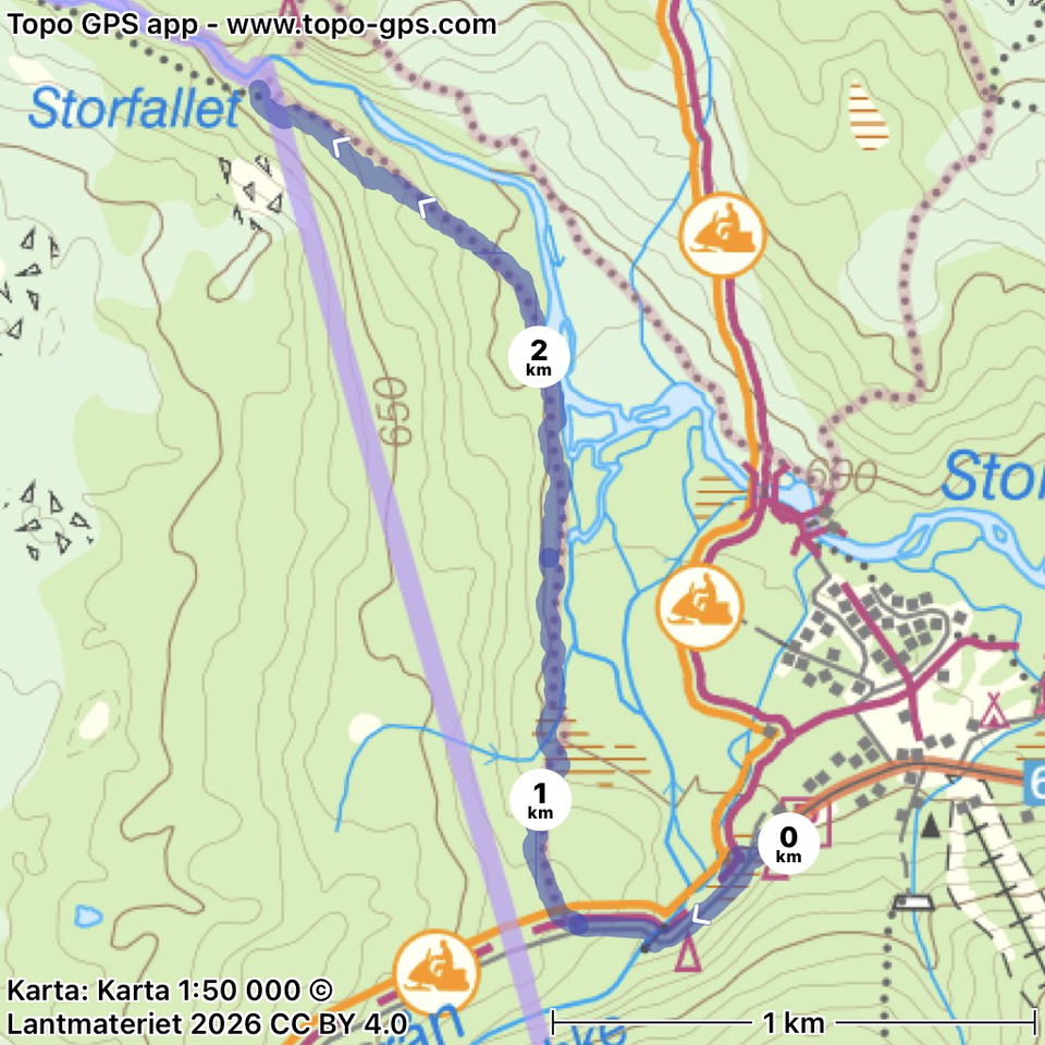
Led mot Storfallet, södra sidan led 203 (sommarled, Oviksfjällen)
- Kommune: Åre
- 2.9 km
- 63
- Sværhedsgrad: Blå
The marked trail starts at the far end of the Höglekardalen cabin area. About 50 meters west of Höglekardalens Fjällpensionat go to the right and follow the road down among the cabins, when you reach the river follow the path on the same side. After 75 mete…
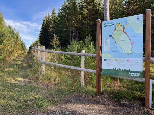
Bynäsets genväg
- Kommune: Östersund
- 6460.27 km fra dig
- 2.4 km
- Sværhedsgrad: Blå
Bynäset's shortcut starts and ends at the large parking lot, but turns off from Bynäset around and goes along the fence over the isthmus. The trail is about 2.4 km long and runs on gravel road, path and footbridge over wetter areas. The northern part starts…
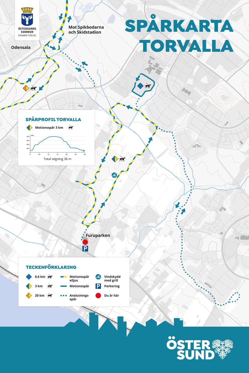
Torvalla motionsspår
- Kommune: Östersund
- 6475.45 km fra dig
- 3.0 km
- Sværhedsgrad: Blå
You can get on the electric light trail in Torvalla at several places, including at Furuparken where there is parking. There are shelters with barbecue areas along the trail. At Torvallaskolan there is a shorter trail adapted for the very youngest.
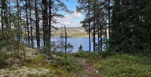
Toppstigen på Östberget
- Kommune: Östersund
- 6467.44 km fra dig
- 4.8 km
- Sværhedsgrad: Rød
The trail goes around the top of Östberget but is possible to connect from several "entrances" around the mountain. The trail passes nice viewpoints, barbecue areas, cold spring, windbreak and Frösötornet. A challenging trail that is steep in parts with a t…
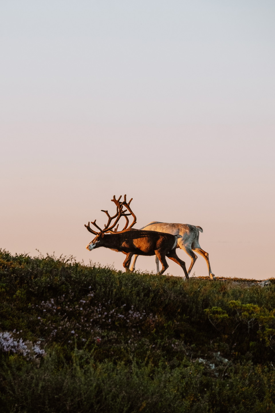
Röstvålen runt
- Kommune: Härjedalen
- 6385.49 km fra dig
- 16.0 km
- Sværhedsgrad: Rød
Starting from Ramundberget, it is possible to go on a tour among the mountains and roaring mountain streams, in the historical footsteps of the pilgrims. Follow the river Ljusnan valley from Ramundberget, you walk where thousands of pilgrims have walked be…
Strådalsvallen, Romboleden Alternativ väg Etapp 26
- Kommune: Härjedalen
- 6453.73 km fra dig
- 1.2 km
This is the original route of the Romboleden, but we have chosen to re-route it on dry ground a little further west. We recommend walking the new route as it can be very wet here.
Alternativ väg Våffelstugan, Romboleden
- Kommune: Härjedalen
- 6458.18 km fra dig
- 5.7 km
An alternative route toward Rombovallen passing the Waffle Cabin in Lofsdalen. Check the opening hours on the Waffle Cabin’s page here in Naturkartan
Bästa vandringslederna i Jämtlands län
Naturkartan samlar de vandringslederna i Jämtlands län som är populärast bland våra användare.
