
-
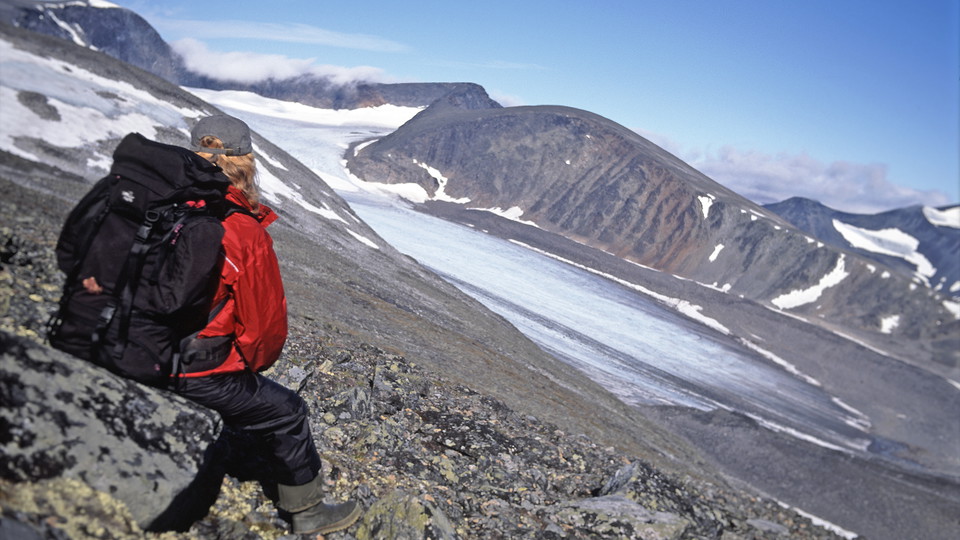
Foto: Tomas Utsi -
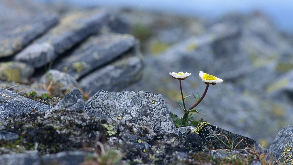
Foto: Kate Kärrberg/Johnér
Aliseatnu-Mårma
- Vandring
- Amt: Norrbottens län
- 6390.67 km fra dig
Ruteoplysninger
- Længde 10.0 km
Handlinger
Beskrivelse
The stretch starts at the bridge across Aliseatnu river. After the bridge, the trail runs for a short distance through birch forest. On the bare mountain, the trail continues along easily-hiked gravel terraces. At the start, the trail follows the west side of Vierrojohka stream. The stream is crossed via a bridge, and the trail then continues upstream along the east bank. In places the trail is indistinct. At lower altitudes it crosses brush moors, while higher up the surface is rockier, and at Mårma cabin, the terrain is boulder strewn. The view to the west, towards Kåtotjåkka mountain, is beautiful. A few kilometres before the cabin, the two jagged Hök summits can be seen. The setting is barren and alpine.
There are several good tent pitches along Vierrojohka stream. At the Mårma cabin there are a number of tent pitches which have been cleared of rocks.
The marked trail ends at the Mårma cabin. It is possible to continue the hike southwards as far as Vistas, about 14 km. One recommended route is marked on the mountain map. Remember that you are in alpine terrain and the weather can change quickly.
Duration: 3-4 hours
Aktiviteter og faciliteter
- Vandring
Overflade
At lower altitudes, the surface is grass and willow. Higher up, the ground is rocky. Despite that, the trail is relatively easy to hike.
Kontakt
E-mailadresse
Länsstyrelsen Norrbotten
Organisationens logotype

Jeg har været her 3


Jeg vil gerne derhen 9
Spørgsmål og svar
Stil et spørgsmål til andre Naturkartan-brugere.
Anmeldelser
0 anmeldelser
- 5 :
- 4 :
- 3 :
- 2 :
- 1 :
Brugernes billeder
Der er endnu ingen brugerbilleder. Vær den første til at dele et!
