Härjedalen

Bästa vandringslederna i Härjedalen

Naturkartan samlar de vandringslederna i Härjedalen som är populärast bland våra användare.

Kort

66 Bästa vandringslederna i Härjedalen

Vandring

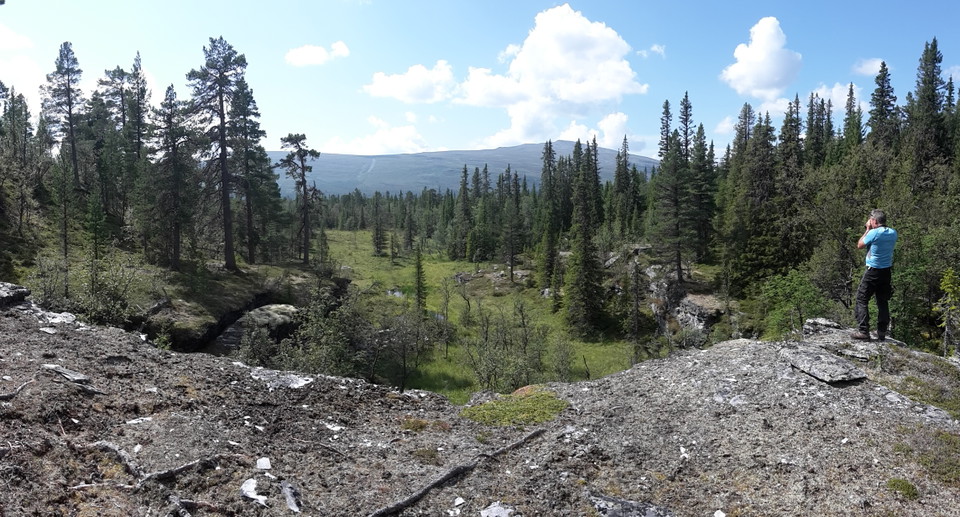
22. Anådalen - Messlingen (svår)

  • Kommune: Härjedalen
  • 6410.96 km fra dig

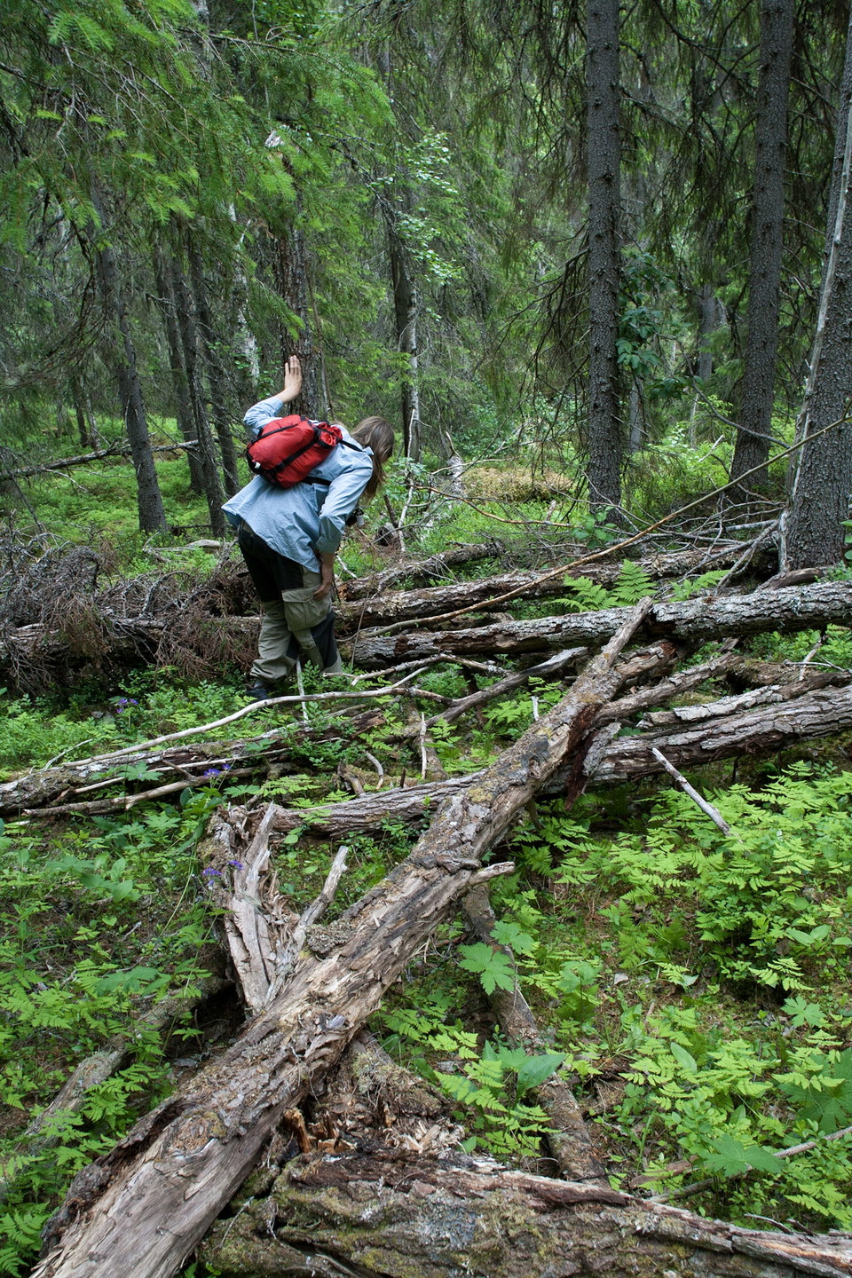
Here is a section for those who want to discover untrodden ground. A difficult stretch without known paths and trails. Inspire us with your hiking experience and pictures from here. Unknown forests need to be discovered and highlighted in the fight for the…
Vandring

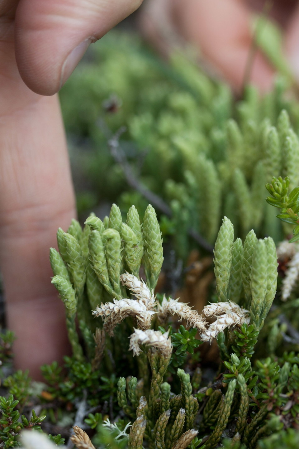
24. Vemdalsskalet - Fallmoren (lätt)

  • Kommune: Härjedalen
  • 6474.67 km fra dig

In Vemdalsskalet there are hotels, restaurants, cafés, shops and more parking lots. Fallmoren is an old sheepfold.

Vandring

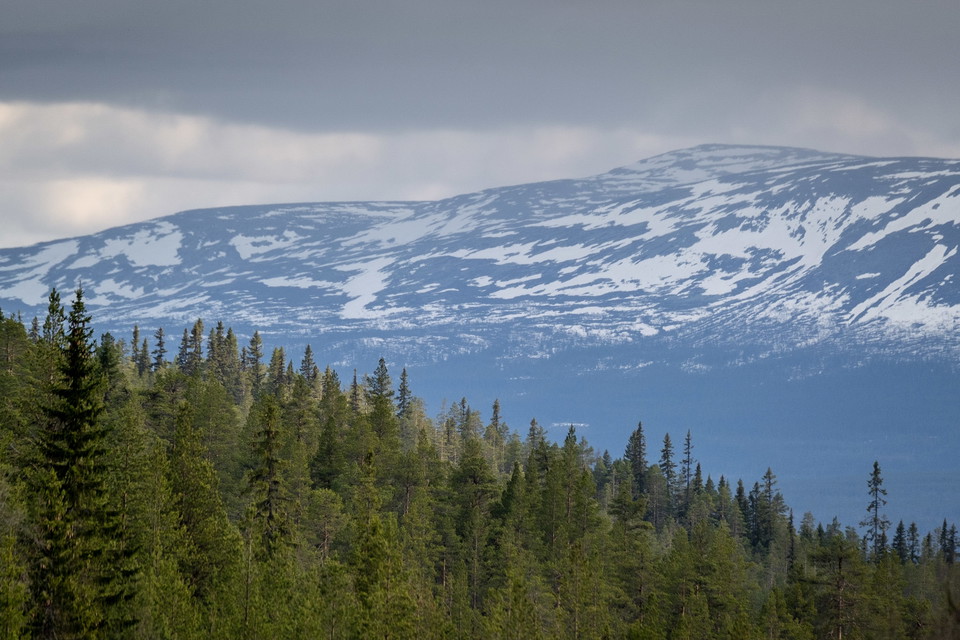
26. Jo-Ols-Karinvallen - Hållvallen (svår)

  • Kommune: Härjedalen
  • 6472.46 km fra dig

Here is a section for those who want to discover untrodden ground. A difficult stretch without known paths and trails. Inspire us with your hiking experience and pictures from here. Unknown forests need to be discovered and highlighted in the fight for the…
Vandring

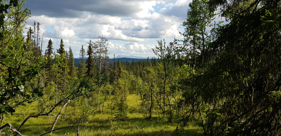
27. Hållvallen - Kilbäcksskiftets naturreservat (svår)

  • Kommune: Härjedalen
  • 6455.49 km fra dig

Here is a section for those who want to discover untrodden ground. A difficult stretch without known paths and trails. Inspire us with your hiking experience and pictures from here. Unknown forests need to be discovered and highlighted in the fight for the…
Vandring

28. Kilbäcksskiftets naturreservat - Henvålens naturreservat (lätt)

  • Kommune: Härjedalen
  • 6445.90 km fra dig

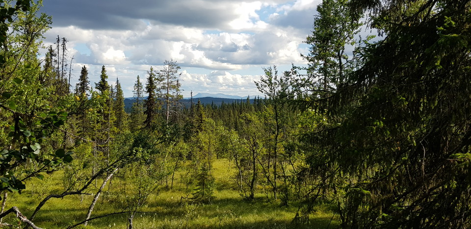
Kilbäcksskiftets nature reserve is located on the south-eastern slope of Särvfjället. Within the reserve there are mountain pastures, bare mountains, bogs and woodland. The Henvålen nature reserve includes two homesteads (farms) from the 18th century - Lövk…

Vandring

29. Henvålens naturreservat - Hållvallen (lätt)

  • Kommune: Härjedalen
  • 6438.04 km fra dig

Most of this walk is within the Henvålen nature reserve, which contains both mountains and old settlements. There are two homesteads (farms) from the 18th century - Lövkläppen and Henvålen. Lövkläppen is of particular historical and cultural value and is th…

Vandring

30. Hållvallen - Messlingen (svår)

  • Kommune: Härjedalen
  • 6427.08 km fra dig

Here is a section for those who want to discover untrodden ground. A difficult stretch without known paths and trails. Inspire us with your hiking experience and pictures from here. Unknown forests need to be discovered and highlighted in the fight for the…
Vandring

32. Ruvallen - Risåsstugan (medel)

  • Kommune: Härjedalen
  • 6416.57 km fra dig

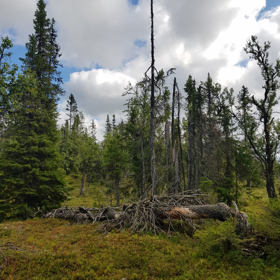
Start the walk from Ruvallen towards Risåsstugan with a detour east to Ruändan with rock paintings, see also route 31. At the tree line there is a rock ledge and rock paintings. Reindeer, bears, moose and people can be seen in the four-thousand-year-old pai…

Vandring

5. Lofsdalen - Skärsjövålen/Nysätern (medel)

  • Kommune: Härjedalen
  • 6457.62 km fra dig

Here is a section for those who want a little challenge. There are a few paths or trails, but the forest is probably relatively unknown. Inspire the rest of us with your hiking experience and pictures from here. Unknown forests need to be discovered and hig…

Pilgrimsrute

Ol Jonsvallen-Ljusnedal - Funäsdalen, Kyrkstigen

  • Kommune: Härjedalen
  • 6404.97 km fra dig
  • 10.4 km
  • 100
  • Sværhedsgrad: Blå

The red-marked "church trail" connects Romboleden with the churches in Ljusnedal and Funäsdalen. You follow both roads and scenic paths with nice resting places. Halfway between the churches there is a rest area with views of the Ljusnedal landscape. Along…

Pilgrimsrute

Korskälla - Mölingdalsvallen, Romboleden Alternativ väg Etapp 23-24

  • Kommune: Härjedalen
  • 6502.75 km fra dig
  • 22.8 km
  • 684
  • Sværhedsgrad: Rød

Wilderness trail, path missing for the first mile between Korskälla and Knösen, then gravel road. Follow the pilgrimsign to stay on trail. Thanks to the landowners – show consideration when hiking St Olav Rombo Way runs mainly through actively cultivated f…

Pilgrimsrute

Lillhärdal - Lövnäsvallen, Romboleden Etapp 24

  • Kommune: Härjedalen
  • 6487.91 km fra dig
  • 43.8 km
  • 1320
  • Sværhedsgrad: Rød

Gravel roads lead you through forests, marshlands, and past streams. The walk is mostly along roads and is relatively easy. You walk between two historic locations. Helga and Härjulf Hornbrytare are considered the first inhabitants and founders of Härjedale…

Vandring

Röstvålen runt

  • Kommune: Härjedalen
  • 6385.49 km fra dig
  • 16.0 km
  • Sværhedsgrad: Rød

Starting from Ramundberget, it is possible to go on a tour among the mountains and roaring mountain streams, in the historical footsteps of the pilgrims. Follow the river Ljusnan valley from Ramundberget, you walk where thousands of pilgrims have walked be…

Pilgrimsrute

Strådalsvallen, Romboleden Alternativ väg Etapp 26

  • Kommune: Härjedalen
  • 6453.73 km fra dig
  • 1.2 km

This is the original route of the Romboleden, but we have chosen to re-route it on dry ground a little further west. We recommend walking the new route as it can be very wet here.

Pilgrimsrute

Alternativ väg Våffelstugan, Romboleden

  • Kommune: Härjedalen
  • 6458.18 km fra dig
  • 5.7 km

An alternative route toward Rombovallen passing the Waffle Cabin in Lofsdalen. Check the opening hours on the Waffle Cabin’s page here in Naturkartan

Bästa vandringslederna i Härjedalen

Naturkartan samlar de vandringslederna i Härjedalen som är populärast bland våra användare.

Naturkartan

Åbn dette i appen