Gåtur

Dalarnas län

Billeder

Kort

58 Gåtur

Gåtur

Markerade stigar i Sanders gammelskog

  • Kommune: Falun
  • 6648.45 km fra dig
  • 2.5 km

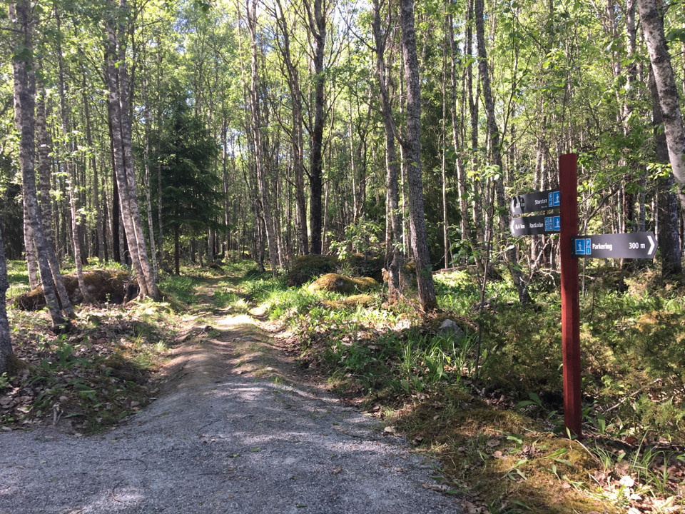
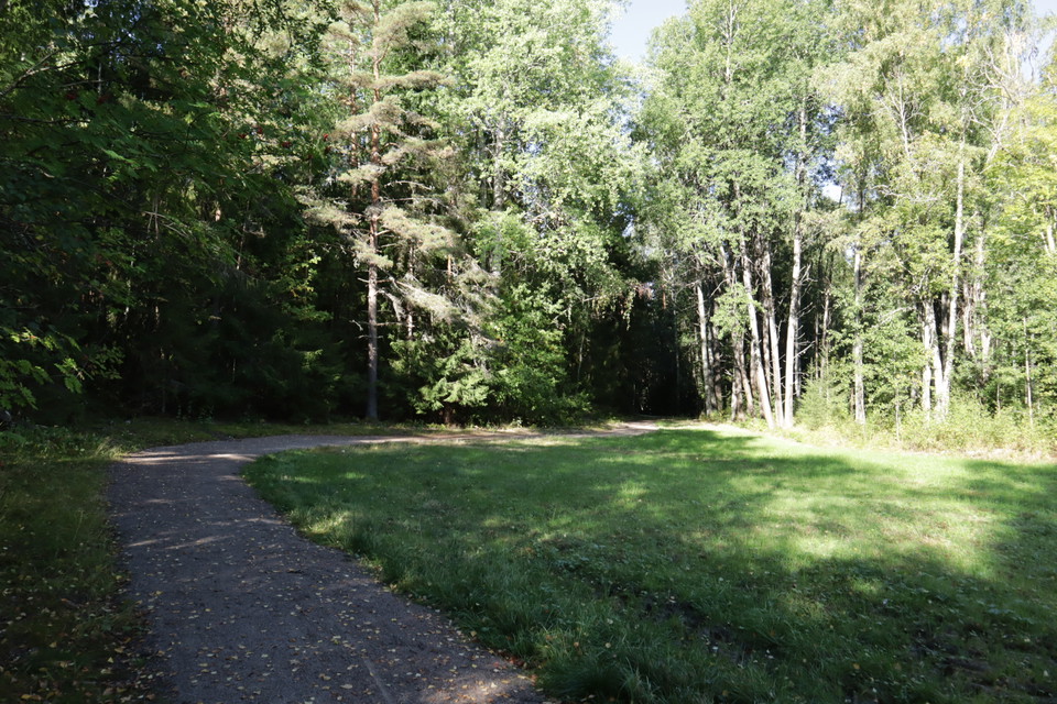
In Sanders Gammelskog there is a system of marked paths starting from the parking lot. From the parking lot to the picnic area, the path is graveled and easy to walk with a stroller. If you want to go further out into the forest, you can use the usual fores…

Gåtur

Markerade leder i Myrans natur- och strövområde

  • Kommune: Falun
  • 6649.88 km fra dig
  • 2.8 km

At Myran's nature and hiking area there are two prepared trails for those who want to go for a short walk, watch birds or make an excursion with the family. The experience trail is barely two kilometers long but still offers a varied nature. You walk throug…

Gåtur

Markerade stigar i Rottnebyskogen

  • Kommune: Falun
  • 6652.83 km fra dig
  • 2.9 km

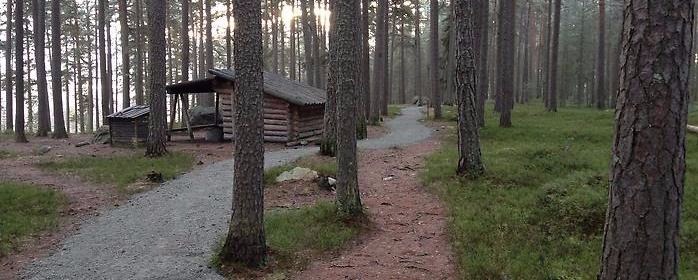
There are many marked paths in Rottnebyskogen. From Ängen, there is a gravel path that passes the two huts with fireplaces and here is easy to walk with a stroller.

Gåtur

Kulturstigen

  • Kommune: Falun
  • 6646.66 km fra dig
  • 1.9 km

Den ungefär två kilometer långa Kulturstigen är en fin vandringsupplevelse för hela familjen. Om du följer slingan motsols från Lilltorpet möter du i tur och ordning stora slagghögar, Falu Naturskolas djur, en häftig hinderbana, gammal skog, gigantiska ekar…

Gåtur

Markerade stigar på Isalanäset

  • Kommune: Falun
  • 6653.66 km fra dig
  • 2.2 km
  • Sværhedsgrad: Grøn

On Isalanäset there is a marked circular trail and a couple of short detours down to Svärdsjön. From the parking lot to Rastladan on the west side of the isthmus, there is a gravel path that is suitable for strollers. Otherwise, the paths consist of ordinar…

Gåtur

Naturstig Lusmyran

  • Kommune: Borlänge
  • 6645.90 km fra dig
  • 1.0 km
  • 20 min
  • Sværhedsgrad: Grøn

Stigen är en rundslinga genom Lusmyrans myllrande lövskog. Stigen är belagd med stenmjöl och breda spänger och broar över lusbäcken. Passar bra att gå med barnvagn eller rullstol.

Gåtur

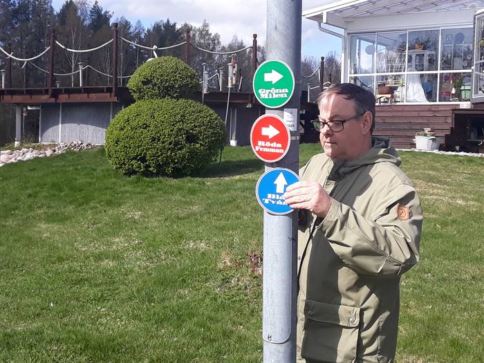
Gröna milen

  • Kommune: Hedemora
  • 6682.12 km fra dig
  • 10.0 km

The green mile is our longer hiking loop, if you want to take a shorter trip, you can choose from blue two or red five.

Gåtur

Blå 2:an

  • Kommune: Hedemora
  • 6683.61 km fra dig
  • 2.4 km

Blue two is the shorter of the three walking routes we have compiled. If you want to walk a little further, you have the red five or the green mile.

Gåtur

Röda 5:an

  • Kommune: Hedemora
  • 6683.59 km fra dig
  • 5.0 km

Röda femman is our intermediate route, here you have a walk of 5km that starts from Vasahallen. As an alternative, you have blue 2an or green mile.

Gåtur

Grusad led i Källviksskogens naturreservat

  • 1.3 km
  • Sværhedsgrad: Grøn

Från Källviksparken går en grusad led till Stora grillplatsen. Leden är 1,3 kilometer tur och retur. Den innehåller inga branta backar och har en bredd av minst 1,2 meter. Leden passar extra bra om du går med barnvagn, rollator eller rullstol.

Gåtur

Kulturpromenad etapp 2

  • Kommune: Hedemora
  • 6682.97 km fra dig
  • 2.0 km

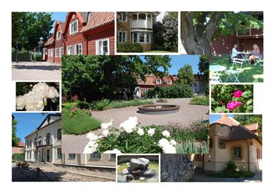
Hedemora was granted town privileges as early as 1446, making it the oldest town in Dalarna. In the past, Hedemora was a marketplace for large parts of southern Dalarna and its mountain region. That's why this particular walk starts at the medieval Stora To…

Gåtur

Vindförbergs udde

  • Kommune: Rättvik
  • 6596.17 km fra dig
  • 3.0 km
  • 40 min
  • Sværhedsgrad: Grøn

Vindförbergs udde is a nature reserve located just outside Furudal. You can walk around the nature reserve, which is a pebble ridge that runs out into Lake Oresjön and runs along a long southern shore. Within the reserve it is not allowed to...

Gåtur

Grusad stig i Hälsingbergsskogen

  • 6652.31 km fra dig
  • 0.8 km

Den grusade stigen är anpassad för dig som använder rullstol eller rollator. Vissa partier av slingan har större lutning än rekommendationerna för hög tillgänglighet vilket gör att det bitvis kan bli lite tyngre att ta sig fram. Stigen utgår från parkering…

Gåtur

Körväg/ grusad väg på Olars näs

  • 0.4 km

Från parkeringen till rastplatsen längs ut på udden består leden först av en gammal körväg och sedan av en grusad stig. Bredden är minst 1, 6 meter.

Naturkartan

Åbn dette i appen