
Markerade leder i Myrans natur- och strövområde
- Gåtur
- Løb
- Vandring
- Barnevognvenligt
- Parkering i nærheden
- Amt: Dalarnas län
- 6649.88 km fra dig
Ruteoplysninger
- Længde 2.8 km
Handlinger
Beskrivelse
Aktiviteter og faciliteter
- Gåtur
- Løb
- Vandring
Tilgængelighed
- Barnevognvenligt
- Parkering i nærheden
Fakta
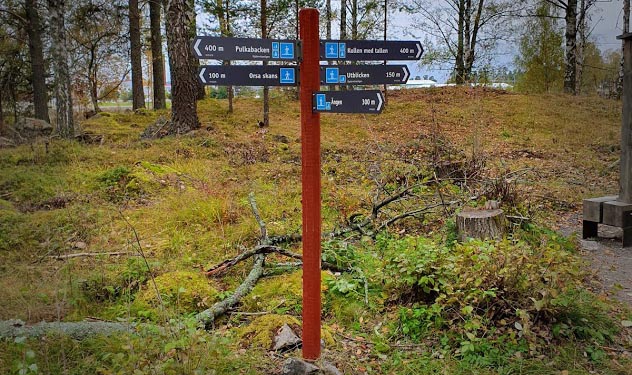
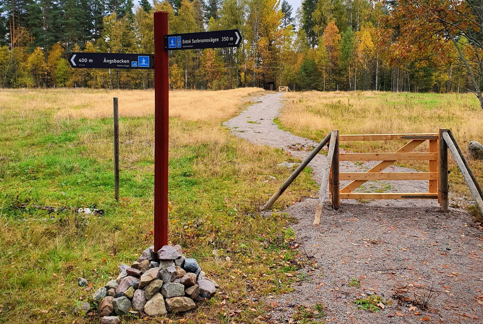
The trail markings consist of red posts with gray and blue signs.
It is possible to get around with a wheelchair on Upplevelsestigen from the entrance to Floras kulle to the ponds. The gravel road between Floras kulle and the Surbrunnsvägen entrance, as well as the road towards the Björken entrance, are also suitable for wheelchairs. However, assistance is needed to get up the slopes to both Kullen med tallen and Utblicken.
Falu municipality is responsible for the trails in the Myran area.
Parkering
Parking for both bicycles and cars is available at the two entrances Floras kulle and Surbrunnsvägen.
Kommunikation
The nearest bus stop is Högskolan, which is about 400 meters from the entrance Surbrunnsvägen.
Rutevejledning
Myran's nature area is located in the eastern part of Falun, next to the E16 and the Dalarna University campus.
Kontakt
E-mailadresse
Kontaktcenter Falu kommun
Organisationens logotype

Jeg har været her 18






Jeg vil gerne derhen 16



Anmeldelser
—
0 anmeldelser
- 5 :
- 4 :
- 3 :
- 2 :
- 1 :
Spørgsmål og svar
Stil et spørgsmål til andre Naturkartan-brugere.
Brugernes billeder
Del dine billeder fra stedet!
