Kalmar län och Öland

Forhistorisk/kulturarv

Kort

86 Forhistorisk/kulturarv

Forhistorisk/kulturarv

Back-Antes stuga

  • Kommune: Torsås
  • 6887.04 km fra dig

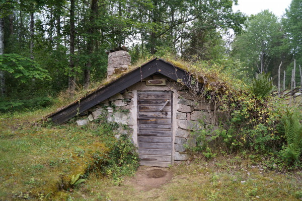
Back-Ante's cottage is a typical example of a hillside cottage, many inhabited right into the 20th century. Back-Ante lived here with his whole family.Next to the road Magdegärde - Hästmahult is a small hut or earth ball on Hästmahult's old common. In the m…

Forhistorisk/kulturarv

Emils Murar

  • Kommune: Torsås
  • 6885.49 km fra dig

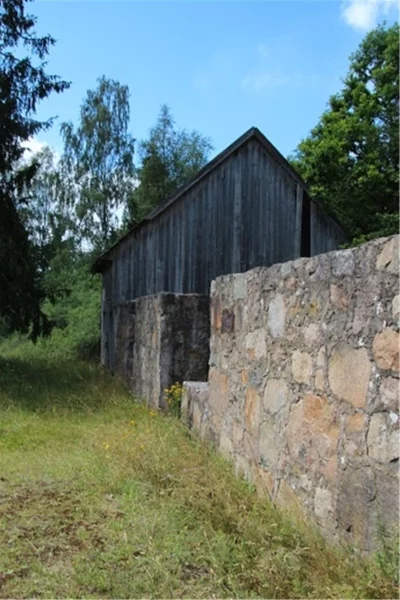
In the middle of the forest we find Emil's walls, these are made by Per Emil Petterson in the middle of the 20th century. In the area there is an approximately 200 meter long stone wall and a barn foundation. All this is built with an outstanding precision…

Forhistorisk/kulturarv

Fångstgrop Kråkebäck

  • Kommune: Mönsterås
  • 6888.49 km fra dig

Trapping pits have been used since the Stone Age until 1864 when the hunting method was banned. Large mammals such as elk and deer were caught in the pits. The purpose of the pit at Kråkebäck was probably to catch wolves.

Forhistorisk/kulturarv

Smalspåret Hultsfred-Målilla

  • Kommune: Hultsfred
  • 6830.82 km fra dig
  • 13.0 km
  • 70

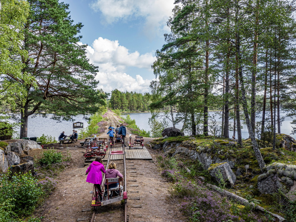
From Hultsfred station you can cycle south for 12 kilometers with dressin. You cycle along the scenic Herrstorpet, the first bit follows the dressin stretch Stångådalsbanan with train traffic towards Kalmar and Linköping, before we turn off up through the f…

Vandring

Skedemosse vandringsled

  • Kommune: Borgholm
  • 5.0 km

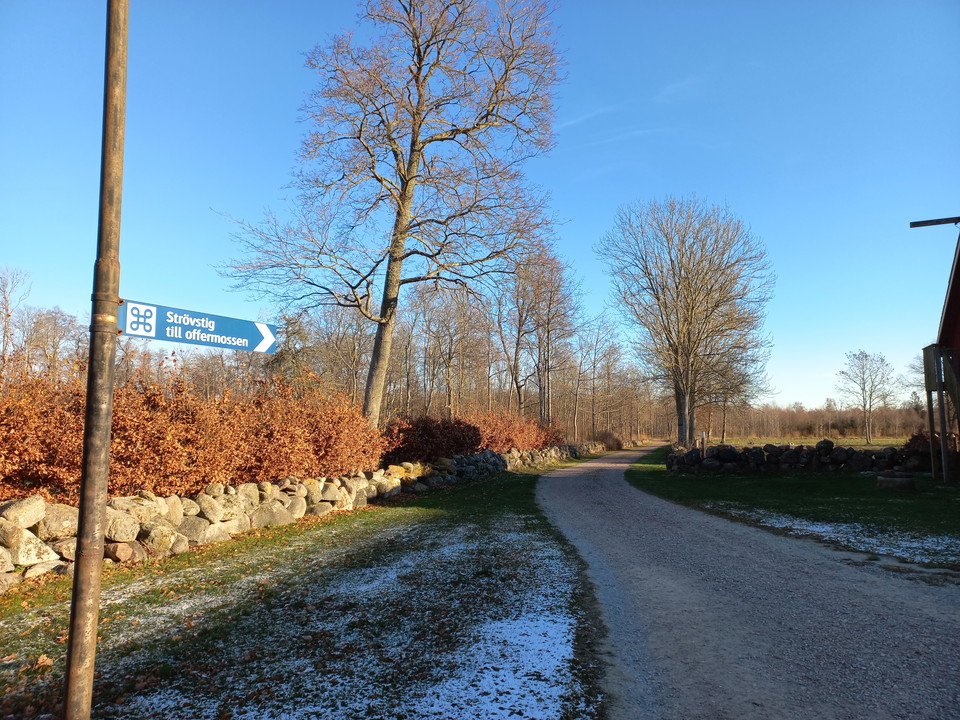
Skedemosse museum ansvarar för leden: Kontakt (skedemossemuseum.se). I anslutning till Skedemosse museum finns en fem kilometer lång vandringsled som leder ut till offerplatsen. Följ vita markeringar. Leden går genom ett vackert öländskt odlingslandskap och…

Forhistorisk/kulturarv

Järnålderslämningar

  • Kommune: Borgholm
  • 6902.90 km fra dig

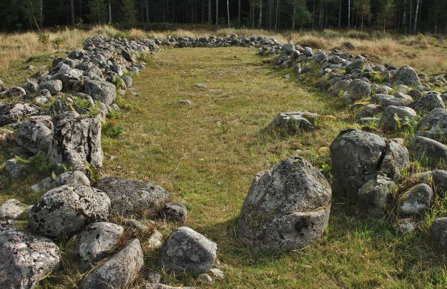
Rosendal is Europe's best-preserved Iron Age village with remains dating from 300-650 AD. The 37-hectare site makes an impressive impression with 14 house foundations, stone enclosures and burial grounds.

Vandring

Utvandrarleden etapp UL3 Moshult - Långasjö - En del av Smålandsleden

  • Kommune: Emmaboda
  • 18.0 km
  • Sværhedsgrad: Blå

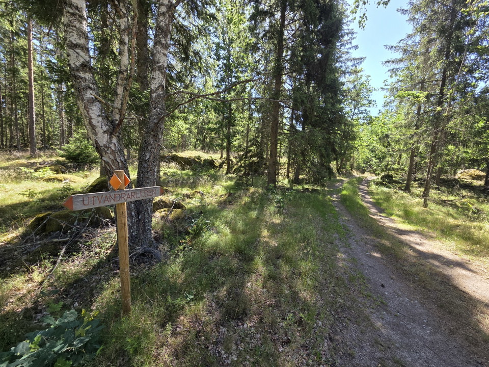
About the Emigrant Trail Through forests and meadows, past cottages and stone walls, this 110-kilometre-long hiking trail winds its way through the landscape. The trail alternates between footpaths, forest roads, gravel roads, and smaller paved roads, follo…

Vandring

Utvandrarleden etapp UL4 Långasjö - Yxnanäs - En del av Smålandsleden

  • Kommune: Emmaboda
  • 21.0 km
  • Sværhedsgrad: Blå

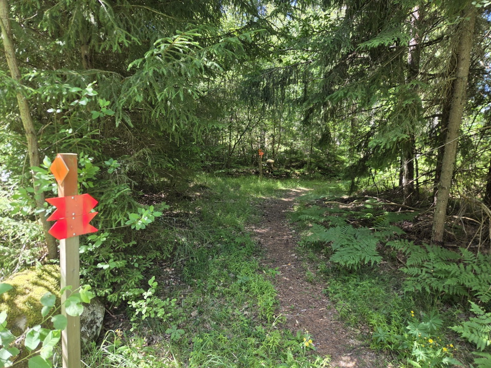
About the Emigrant Trail Through forests and meadows, past cottages and stone walls, this 110-kilometre-long hiking trail winds its way through the landscape. The trail alternates between footpaths, forest roads, gravel roads, and smaller paved roads, follo…

Naturkartan

Åbn dette i appen