
-
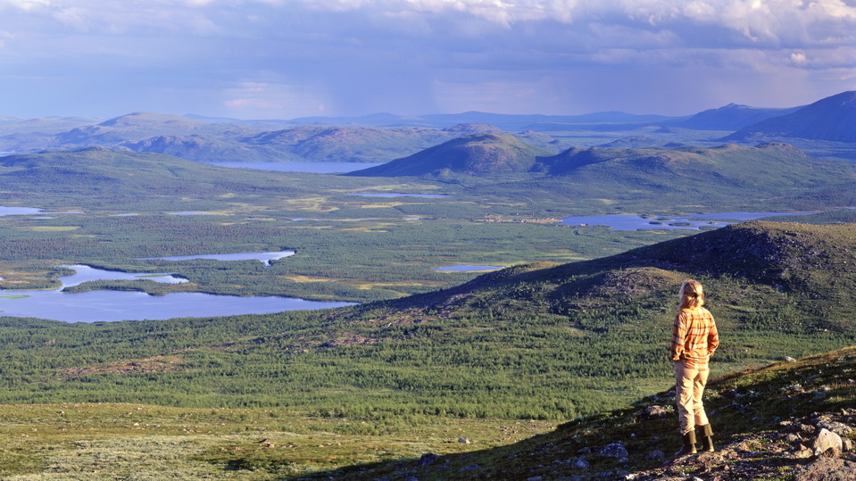
Foto: Tomas Utsi -
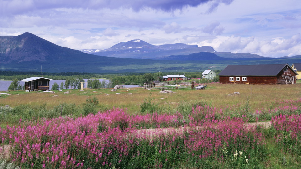
Kattuvuoma.
Foto: Tomas Utsi -
Foto: Matton Collection/Johnér
Vuoskkojávri-Kattuvuoma
- Vandring
- Amt: Norrbottens län
- 6422.65 km fra dig
Ruteoplysninger
- Længde 13.0 km
Handlinger
Beskrivelse
From Vuoskkujávri, the trail leads northwards. The hike is through birch forest all the way. The first stretch is flat and runs through terrain with moist areas. Soon after passing Rágeseatnu River, a gentle, long downhill slope begins. Where the slope evens out, the trail passes a reindeer fence and a reindeer enclosure. The remaining hike as far as the village of Kattuvuoma is flat. There are many quad bike roads in the area and you must be alert so as not to lose the trail.
Duration: 4,5-5 hours
Aktiviteter og faciliteter
- Vandring
Overflade
Easily-hiked surface.
Kontakt
E-mailadresse
Länsstyrelsen Norrbotten
Organisationens logotype

Jeg har været her 1

Jeg vil gerne derhen 11

Spørgsmål og svar
Stil et spørgsmål til andre Naturkartan-brugere.
Anmeldelser
0 anmeldelser
- 5 :
- 4 :
- 3 :
- 2 :
- 1 :
Brugernes billeder
Der er endnu ingen brugerbilleder. Vær den første til at dele et!

How do you reach the start point. Is there a boat available to cross the lake torneträsk?
Hi, it is possible to start in Järämä and hike from there. You can also try to contact the sami village, e.g. Stig Allas 070-273 34 83. Some trails are not easy to access nowadays because of changing conditions in the surroundings (train does not stop any more or boat traffic does not exist etcetera). Good luck with your hiking!