Ostkustleden
- Kommune: Oskarshamn
- 6871.89 km fra dig
- 2.3 km
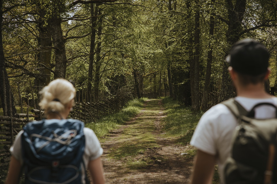
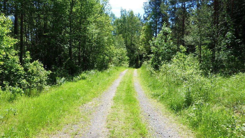
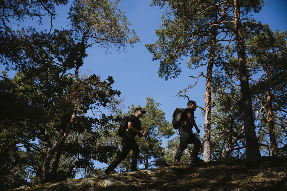
A stretch of the East Coast Path runs through the reserve.

Oskarshamn
Naturkartan samlar de vandringslederna i Oskarshamn som är populärast bland våra användare.
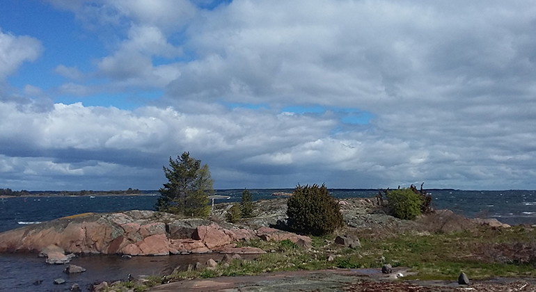
A stretch of the East Coast Path runs through the reserve.
Stigen leder upp till både Ostkustleden och Släthultslingan från samhället.
The hiking trail is just over 80 kilometers long and follows a classic route through varied terrain. In the north, it connects to the Ostkustleden and in the southwest to the Högsbyleden. The trail can be hiked in both directions, in stages, or as a round t…
Welcome to the hiking trails of Runnö! Here you can enjoy a magical walk through a varied landscape of rocky outcrops, meadows, and dense forests. On Runnö, you'll encounter traces of the island's history, with small paths once walked by fishermen and sailo…
Förslag på rundslinga som tar dig delvis på etapp 1 av Tjustleden och sedan tillbaka till Mörtfors.
The Döderhultarn Path is a themed path with informational signs about the wood sculptor Axel "Döderhultarn" Pettersson (1868–1925) and his home region, which he loved second only to his mother. The trail is approximately four kilometers long and runs from t…
Naturkartan samlar de vandringslederna i Oskarshamn som är populärast bland våra användare.