




Toppstigen på Östberget
- Vandring
- Gåtur
- Trail-løb
- Amt: Jämtlands län
- 6467.44 km fra dig
Ruteoplysninger
- Længde 4.8 km
- Sværhedsgrad Rød – krævende
Handlinger
Beskrivelse
Aktiviteter og faciliteter
- Gåtur
- Vandring
- Trail-løb
Overflade
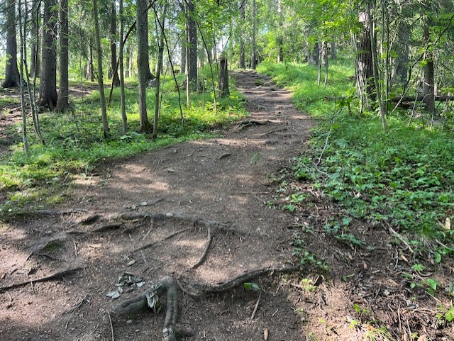
Path, steep steps, forest road and rock outcrop. Parts of the path have many roots and wet areas may occur.
Bakker
185 meters in altitude. Steep in parts.
Vegetation
Roots and wet areas are present.
Parkering
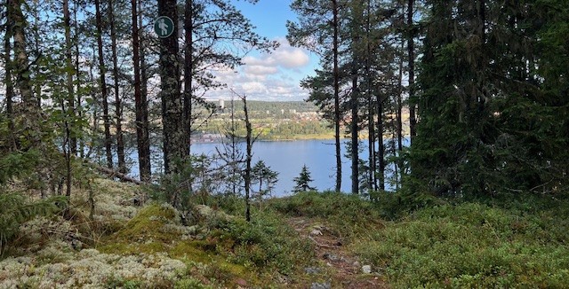
The top of Östberget, Östberget's exercise trail and Gustavsbergsbacken.
Rutevejledning
Toppstigengår runt uppe på Östberget men är möjlig att ansluta från flera "entréer" runt Östberget. Det finns parkeringar vid motionsspåret och på toppen av Östberget men även vid skidbackarna Ladängen och Gustavsbergsbacken.
Kontakt
Adresse
Kultur- och fritidsförvaltningen Box 705 831 28 Östersund
E-mailadresse
Jens Tirén
Organisationens logotype

Jeg har været her
Jeg vil gerne derhen 3
Anmeldelser
—
0 anmeldelser
- 5 :
- 4 :
- 3 :
- 2 :
- 1 :
Spørgsmål og svar
Stil et spørgsmål til andre Naturkartan-brugere.
Brugernes billeder
Del dine billeder fra stedet!
