
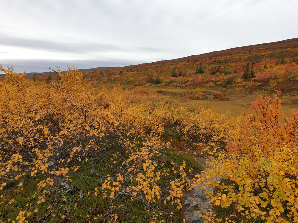
Rundtur Gräftåvallen
- Vandring
- Amt: Jämtlands län
- 6443.98 km fra dig
Ruteoplysninger
- Længde 15.0 km
- Tid 6 t
Handlinger
Beskrivelse
Aktiviteter og faciliteter
- Vandring
Bakker
When you hike the round trip, you walk on bare rock for a large part. You are then exposed to wind and precipitation. There are steep slopes.
Vegetation
At Tvärån, you need to be careful when crossing the river. After rain and when the snow melts, the river is high and can be difficult to cross.
Parkering
You can park at Fjällgården and start your hike there.
Rutevejledning
If you come on the gravel road from Myrviken, just follow the signs along the road up to Gräftåvallen.
From Hallen, take the road towards Bydalen/Höglekardalen. 3.5 kilometers before Bydalen, turn left over the bridge, which goes over Dammån. Follow the gravel road until the T-junction where you turn right and drive 2 kilometers up the slopes to Gräftåvallen.
Downloads
Kontakt
E-mailadresse
Julia Carlberg
Organisationens logotype

Jeg har været her 2

Jeg vil gerne derhen 13

Anmeldelser
—
0 anmeldelser
- 5 :
- 4 :
- 3 :
- 2 :
- 1 :
Spørgsmål og svar
Stil et spørgsmål til andre Naturkartan-brugere.
Brugernes billeder
Del dine billeder fra stedet!
