Dalarnas län

Ridning

Kort

18 Ridning

Vandring

Isala-Åg-leden

  • Kommune: Falun
  • 6654.44 km fra dig
  • 16.0 km

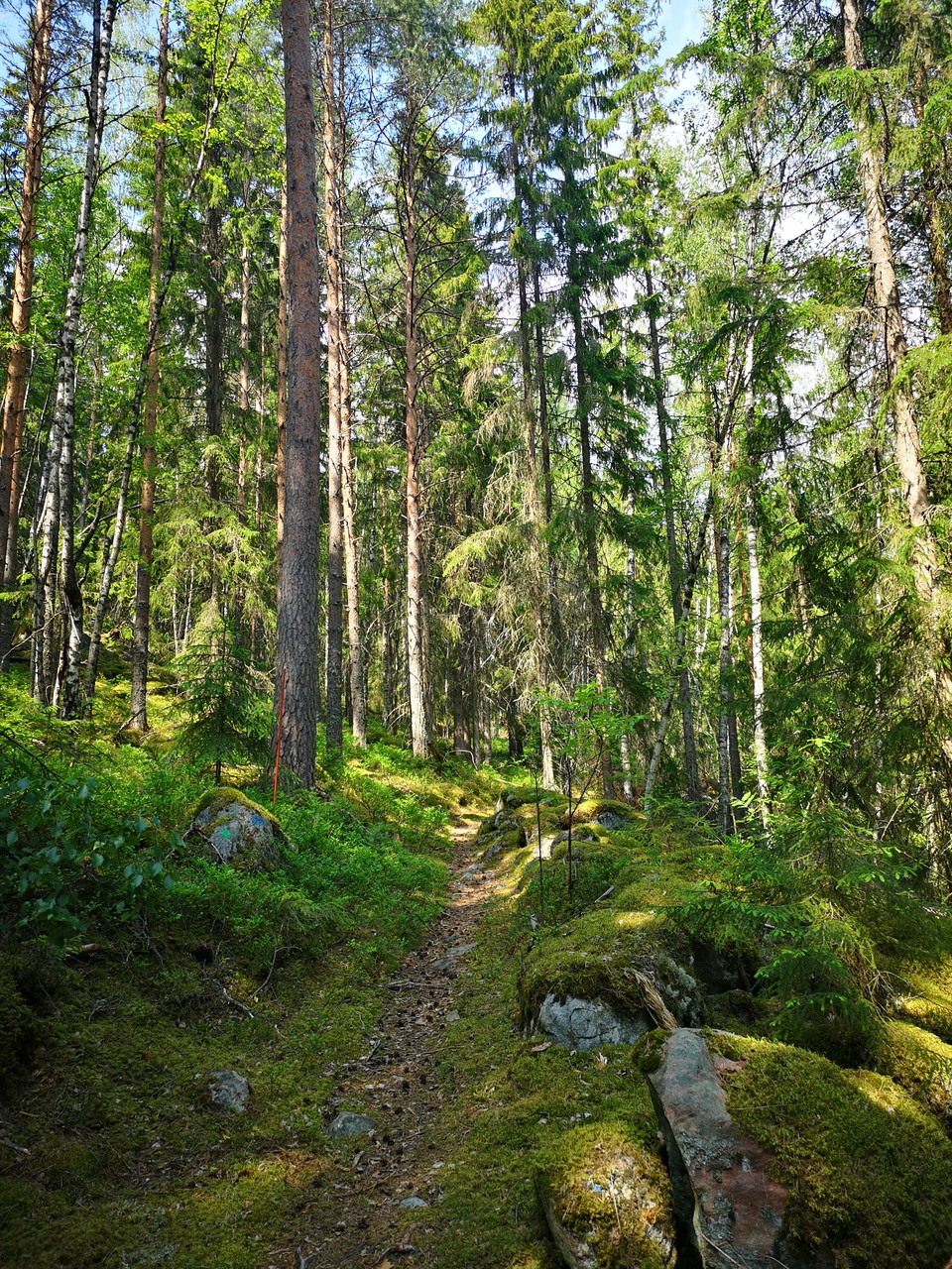
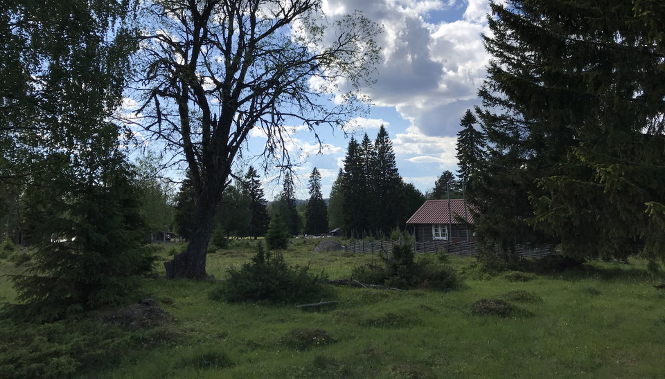
The Isala-Åg trail goes on ancient pastures and roads for the transport of charcoal to the cabin in Åg. The trail goes from Isala to Åg's mill on mostly easy-going trails. Up at Ågsberget it can be experienced a bit steeper. The idyll of Ågs Bruk with Åg's…
Vandring

Knivstigen

  • Kommune: Falun
  • 6658.46 km fra dig
  • 11.2 km

Knivstigen is mentioned in church documents as early as 1662, but is actually even older than that. Along the Knife Path there are small information boards here and there that tell you about the place you are passing. They tell you everything from the horro…

Vandring

Vägen till Prästbodarna

  • Kommune: Falun
  • 6628.00 km fra dig
  • 8.0 km

The road to Prästbodarnas fäbod is an old fäbodstig that has been marked by Envikens Hembygdsförening. The path goes through forest of varying age where pine and spruce dominate. Some shorter stretches you walk on a forest road. Since Prästbodarna is locate…

Vandring

Pilgrimsleden

  • Kommune: Falun
  • 6637.33 km fra dig
  • 23.0 km

The pilgrimage route was used for journeys to the Christian center of the North, Nidaros Cathedral in Trondheim, already in the 12th century. Later, it was used by traders from southern Norrland who brought goods to Kopparberget and Mälardalen. The route we…

Vandring

Nysjöleden (Linghed-Nysjöns fäbod)

  • Kommune: Falun
  • 6645.95 km fra dig
  • 22.0 km

All the farms in Linghed had their own sheds, slogs or lötar, to get enough feed for the animals. In connection with the land transfer and legal change, Linghed got Nysjön as a pasture and also bought Tänger Tovabo from Yttertänger. Livestock farming at the…

Vandring

Lostigen

  • Kommune: Falun
  • 6662.81 km fra dig
  • 19.0 km
  • Sværhedsgrad: Blå

The trail rounds the relatively large lake Logärden and goes to several places near the water. A recommended starting point is Finngärdets fäbodar, where there is a larger parking area. The path is easy to walk with the exception of a steep climb up towards…

Vandring

Sundbornsleden-Råbergsslingan

  • Kommune: Falun
  • 6653.42 km fra dig
  • 30.0 km
  • Sværhedsgrad: Rød

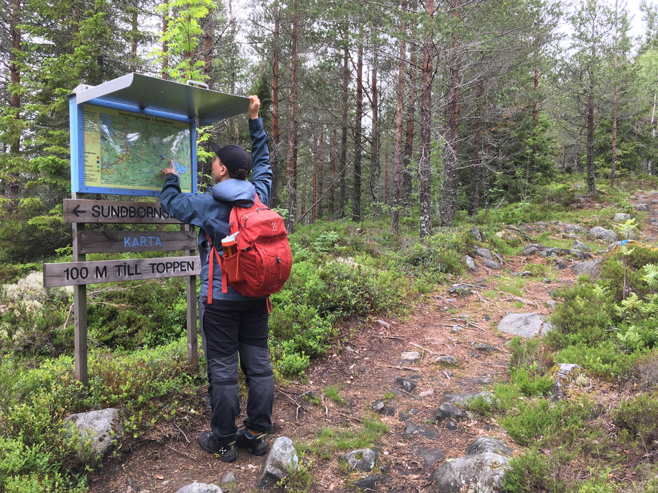
You can walk the entire Sundborn trail that starts at Bondes Gård in Sundborn (28 km) or choose Råbergsslingan (18 km) which is part of the Sundborn trail and starts from the bandy rink at the Karlsbyhedens Folkets Hus. The trails are marked with blue color…

Vandring

Kyrkleden Bjursås-Rönnäs (-Åhls kyrka)

  • Kommune: Falun
  • 6619.04 km fra dig
  • 20.0 km
  • Sværhedsgrad: Blå

Until the 18th century, Kyrkleden was a path that people from the villages around Bjursås walked to get to Åhl's church in Insjön. The trail goes via Rextjärn, Knippgårdarna, Prosgårdarna, Vidåsberget, Årboheden, Per-Hans bodarna and Hackmora to Rönnäs by I…

Vandring

Kyrkstigen Bjursås-Sjövik-Åhls kyrka

  • Kommune: Leksand
  • 6621.96 km fra dig
  • 17.0 km
  • Sværhedsgrad: Blå

Until the 18th century, the church path was a hiking trail for church members from Bjursås to Åhl's church. Old and unfinished people were given dispensation to go to the old wooden church in Bjursås. One Sunday in August, a hike goes every year to the high…

Vandring

Olpers fäbodstig

  • Kommune: Falun
  • 6655.27 km fra dig
  • 7.0 km

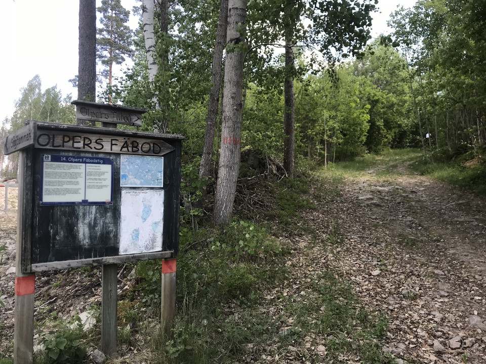
At Brosveden in Borgärdet, an old road winds its way up through the forest. It is the old shepherd's path to Olpers fäbodar that winds through the landscape. Olpers belonged to the villages of Sveden and Boränget in Svärdsjö parish, but ceased to be a pastu…

Vandring

Sommarvägen till Rotbodarna/Rotboleden

  • Kommune: Falun
  • 6642.19 km fra dig
  • 23.0 km

Sommarvägen is a hiking trail that the village of Klockarnäs used to use to get to its Gammelfäbon, Nyssjön, Rotbo, Gryfs and Alderbacka mountain farms. After passing Kurbergsmyrarnas nature reserve, Sommarvägen splits and you can go left up to Alderbacka f…

Ridning

Ridleder i Lugnets naturreservat

  • Kommune: Falun
  • 6648.11 km fra dig
  • 7.4 km

The bridleways are mostly on old railroad tracks. They are also ideal for those who want to walk. Cycling is not allowed on these trails.

Vandring

Banvallen i Garpenberg

  • Kommune: Hedemora
  • 6692.04 km fra dig
  • 4.8 km
  • Sværhedsgrad: Grøn

The embankment between Garpenberg and the village of Herrgården is a trail that is suitable for hiking, mountain biking or horseback riding. It is 5 km one way and largely follows the old embankment after the Gruvgården-Fors railway, which was in operation…

Ridning

Fjällstallet

  • Kommune: Sälen (Malung-Sälen)
  • 6486.42 km fra dig

The interaction between horses and humans has received increasing attention in recent years. In addition to being a great athlete, offering sports at different levels and in different disciplines, the horse also has an important therapeutic role. Welcome to…

Ridning

Ridanläggning, Räfsnäs

  • Kommune: Ludvika
  • 6655.78 km fra dig

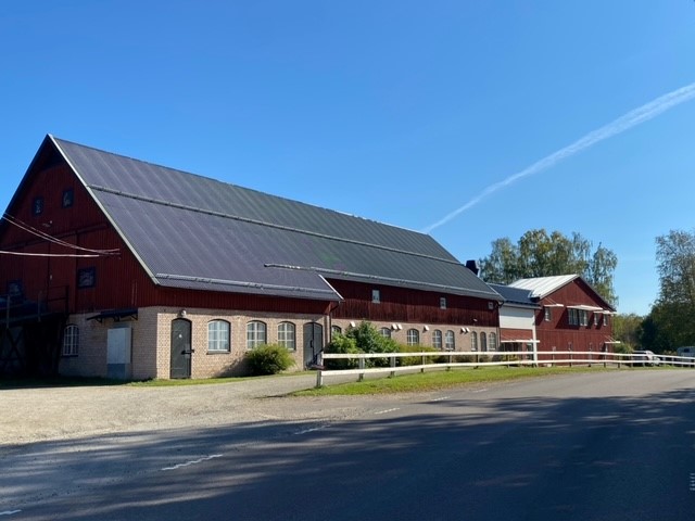
A equestrian facility at Räfsnäs consisting of an indoor riding arena, outdoor paddocks, stables, and a smaller gathering venue. Ludvika Riding Club operates the facility. Ludvika Ridklubb

Naturkartan

Åbn dette i appen