Dalarnas län

Forhistorisk/kulturarv

Kort

172 Forhistorisk/kulturarv

Minedrift/Geologi

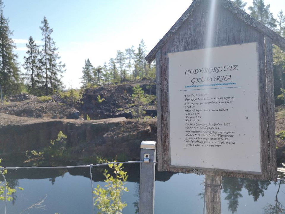
Cedercreutz och Lustigkullagruvorna

  • Kommune: Smedjebacken
  • 6652.73 km fra dig

The Cedercreutz and Lustigkulla mines are an old mining area where you can look out over the expanses. The mining area can be reached by hiking from Smeleden, Schisshyttan or the Stollberg mining area. The Cedercreutz mine was closed in 1919 and in the area…
Minedrift/Geologi

Malingsbo Gruva

  • Kommune: Smedjebacken
  • 6673.99 km fra dig

Gruvområde som du når via vandring längs med Himlastigen från Malingsbo Camping.  I området, som i folkmun kallas Jonssons gruva, så finns nio gruvhål med skrotsten där skogen har åter erövrat marken.

Kulturmiljø

Rastplats Lilla Bråfall

  • Kommune: Smedjebacken
  • 6649.79 km fra dig

Lilla Bråfall, remains of a small village where the forest conquered the land. Next to Lilla Bråfall you can see the Bråfall stone. Here are nice resting opportunities to enjoy your lunch. You leave the place as you found it.

Naturværdi

Jätturvallen

  • Kommune: Smedjebacken
  • 6649.75 km fra dig

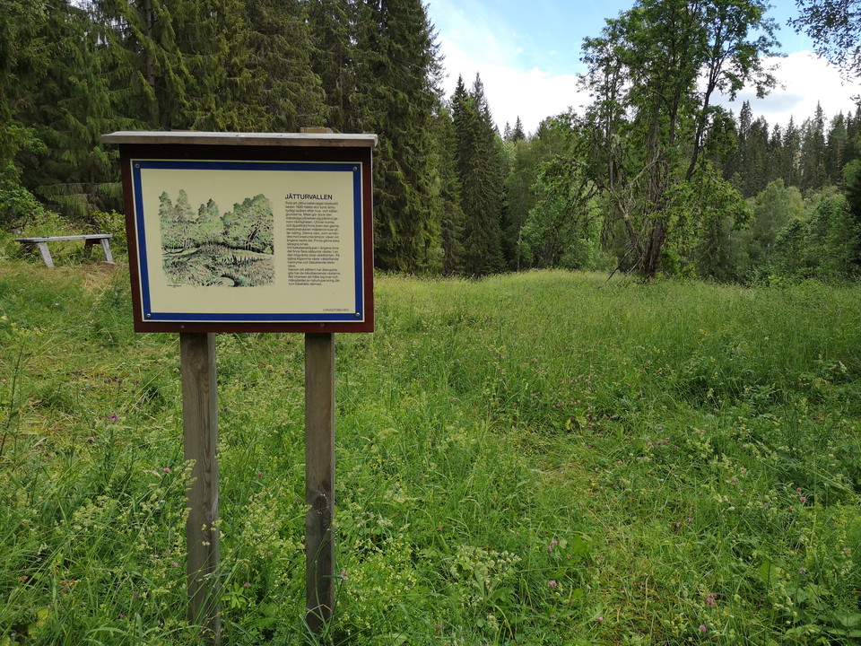
Jätturvallen är lämningar efter hus och den mänskliga påverkan gör sig påmind genom den växtlighet som än idag bibehålls genom slåtter. Intill Jätturvallen finns en klippa av kalk där vyn mot Jätturns rastplats öppnar upp sig. Här finns fina rastmöjligheter…

Forhistorisk/kulturarv

Anders-Ols hytta

  • Kommune: Smedjebacken
  • 6675.00 km fra dig

Cabin area reached by hiking along the Tolvsbos trail - Stora rundan. Anders Ols-hyttan was in operation in the latter part of the 17th century. The smelter was located by Vallbäcken, right next to Svarttjärn. In the area there are dam embankments, a smelte…

Vandring

Banvallen i Garpenberg

  • Kommune: Hedemora
  • 6692.04 km fra dig
  • 4.8 km
  • Sværhedsgrad: Grøn

The embankment between Garpenberg and the village of Herrgården is a trail that is suitable for hiking, mountain biking or horseback riding. It is 5 km one way and largely follows the old embankment after the Gruvgården-Fors railway, which was in operation…

Forhistorisk/kulturarv

Malingsbo Paviljong

  • Kommune: Smedjebacken
  • 6675.50 km fra dig

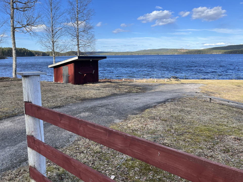
Dance pavilion with nice resting facilities next to Malingsbosjön. The current pavilion was built in 2017 and replaced the Malingsbo pavilion that burned down in 2013.

Minedrift/Geologi

Gruvorten Carls stoll

  • Kommune: Hedemora
  • 6691.92 km fra dig

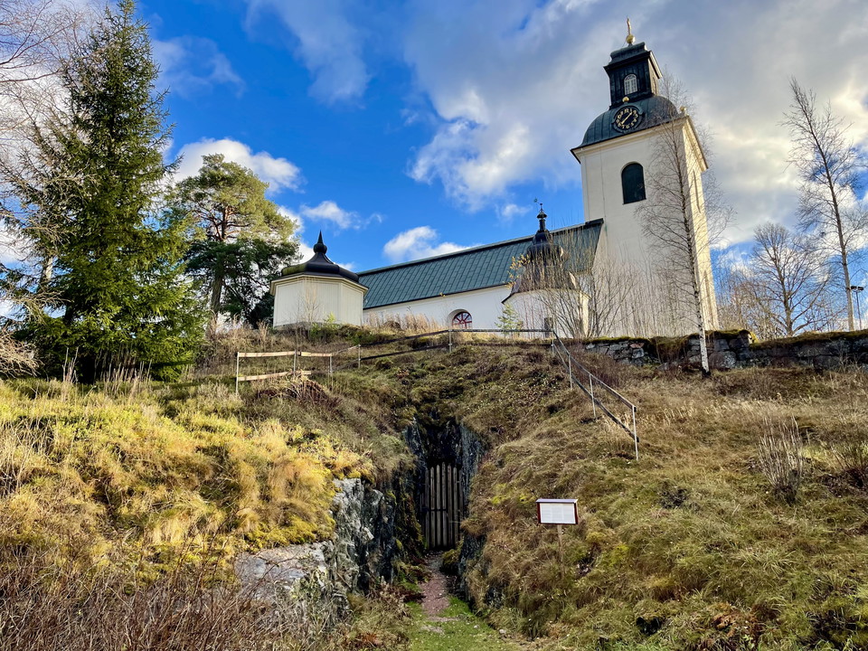
The Carls stoll mine goes straight into the rock under Garpenberg church and is open to visitors. Mining has been going on in the mine since at least the mid-18th century, probably even earlier. The shaft that goes down into the mine vertically is called He…

Kulturmiljø

Stimmerbo Hyttområde

  • Kommune: Smedjebacken
  • 6666.92 km fra dig

In the Stimmerbo hut area there are remains from 16th century iron production. Stimmerbo was originally called Stynberbodha. The ironworks and associated village emerged in the first half of the 16th century, and in the 17th century there were four farms in…

Kulturmiljø

Gärdsjöbo Smedja

  • Kommune: Smedjebacken
  • 6671.24 km fra dig

Remains of a hammer forge, hut, dam wall and slag next to Lumsån. The hammer forge was in use 1632 - 1870. You can reach the area by hiking along the Malingsbo-Kloten trail or via the Gärdsjöbo Smedja rest area.

Forhistorisk/kulturarv

Smedjan i Garhyttan

  • Kommune: Hedemora
  • 6694.01 km fra dig

The forge in Garhyttan is one of the buildings remaining from the Garpenberg mill. When Gustav Vasa laid the foundations for Garpenberg Ironworks in the 1550s, there was probably already a smelter on the site, called Dammhyttan. In 1644, a tannery was compl…

Kulturmiljø

Horndals bruk

  • Kommune: Avesta
  • 6703.55 km fra dig

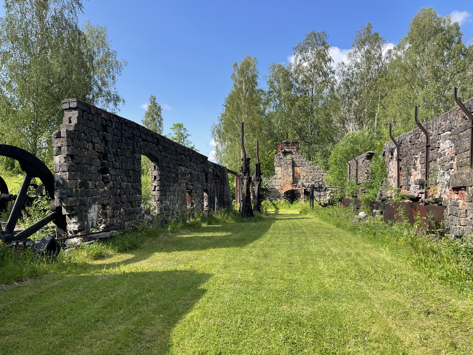
The history of Horndal Ironworks begins in 1652 when Isaac Kock established an ironworks on the site. The mill operated for over 300 years before closing in 1979. Today, Horndal Mill Park is a great place to visit, with several houses and ruins reminiscent…

Vandring

Olsjö Kyrkstig

  • 9.0 km
  • 180
  • Sværhedsgrad: Rød

Discover the beautiful Olsjö Church Trail, a 9‑kilometre hiking path between the forest village of Olsjön and Broby in Sunnansjö. The trail follows the route that churchgoers once used to travel from Olsjön to Grangärde Church. There are benches at several…

Naturkartan

Åbn dette i appen