Nyhet!

Nu kan du dela dina bilder på Naturkartan! 📸

Læs mere

Forhistorisk/kulturarv

Dalarnas län

Billeder

Kort

171 Forhistorisk/kulturarv

Forhistorisk/kulturarv

Löfmarkens gamla tomt

  • Kommune: Smedjebacken
  • 6669.97 km fra dig

Ruins and remains of a village. There were once 34 buildings with today several foundations remaining. There are also fine stone fences and from the farm area a path leads out over Trollugnsberget with a view to the lake end of Stora Norn and Norns Bruk. He…
Forhistorisk/kulturarv

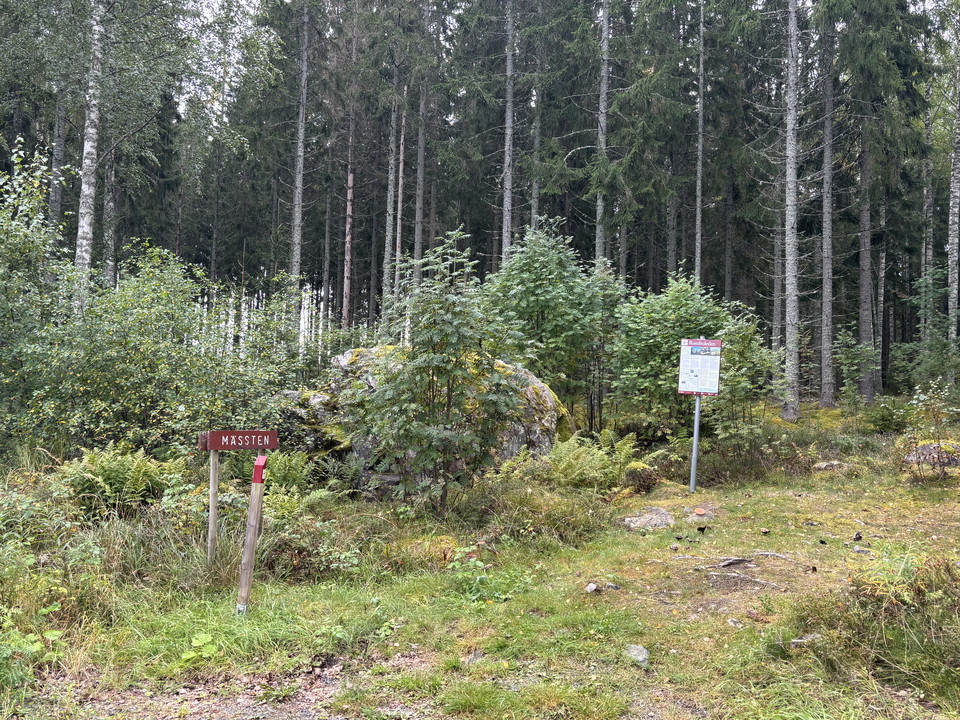
Mässten

  • Kommune: Smedjebacken
  • 6668.69 km fra dig

Several traditions are linked to the Mass. This is where the border between Söderbärke and Norrbärke parishes was. It is said that during their boat trip from Söderbärke to Kapellförsamlingen, the priests would have stopped and held mass here. In 1697, a de…

Forhistorisk/kulturarv

Norn

  • Kommune: Hedemora
  • 6676.65 km fra dig

**WELCOME TO NORNS MILL! Norns Bruk is an ironworks dating back to the 17th century. It is of historical interest, well preserved and listed. Since August 2017, the mill has been owned by seven property owners and Norns Bruk Samfällighetsförening, which con…

Forhistorisk/kulturarv

Löfmarken Trollugnen

  • Kommune: Smedjebacken
  • 6669.68 km fra dig

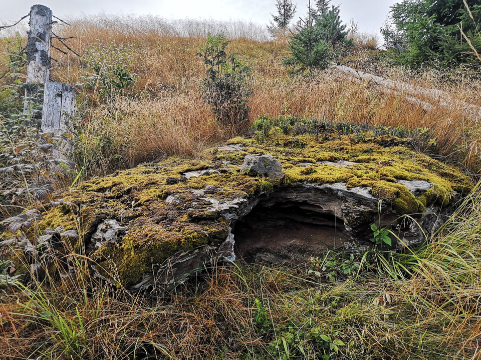
Stone formation - where your own imagination can run wild.

Forhistorisk/kulturarv

Olofskälla

  • Kommune: Mora
  • 6574.22 km fra dig

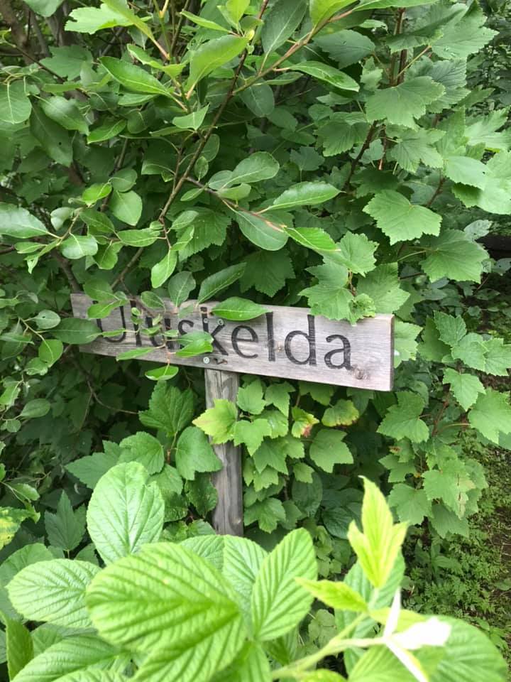
Uluskelda in Kråkberg. According to Tomas Ljung, the only source connected to St. Olav in Dalarna. The well-spring is not located near the current route of the Romboleden through Mora, but at the village of Kråkberg. One of Mora's oldest villages. There are…

Forhistorisk/kulturarv

Kungskällan

  • Kommune: Älvdalen
  • 6540.50 km fra dig

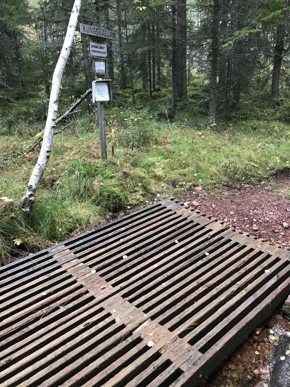
Fornlämning. Markerad

Forhistorisk/kulturarv

Rällingbergs gruva

  • Kommune: Hedemora
  • 6675.95 km fra dig

Rällingbergs gruva är en del av Husbyringen - Sveriges första ekomuseum. Det är en 6 mil lång natur-kulturled som sträcker sig genom Husby socken i södra Dalarna.

Forhistorisk/kulturarv

Erik-Ers källa

  • Kommune: Smedjebacken
  • 6662.23 km fra dig

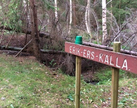
Trinity Spring, reached after a short hike. According to ancient tradition, people gathered around the spring on Trinity night to drink from the spring whose water was said to have a strengthening effect.

Forhistorisk/kulturarv

Anders-Ols hytta

  • Kommune: Smedjebacken
  • 6675.00 km fra dig

Cabin area reached by hiking along the Tolvsbos trail - Stora rundan. Anders Ols-hyttan was in operation in the latter part of the 17th century. The smelter was located by Vallbäcken, right next to Svarttjärn. In the area there are dam embankments, a smelte…

Forhistorisk/kulturarv

Gamla skolan Södra Bisen

  • Kommune: Smedjebacken
  • 6677.11 km fra dig

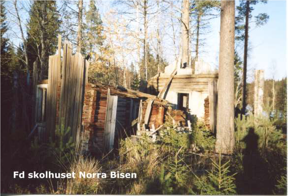
Remains of school building located between Norra and Södra Bisen. The buildings have now been demolished, the fences have fallen down and the forest has reclaimed the land.

Forhistorisk/kulturarv

Fredsmilen röse 1

  • Kommune: Falun
  • 6639.58 km fra dig

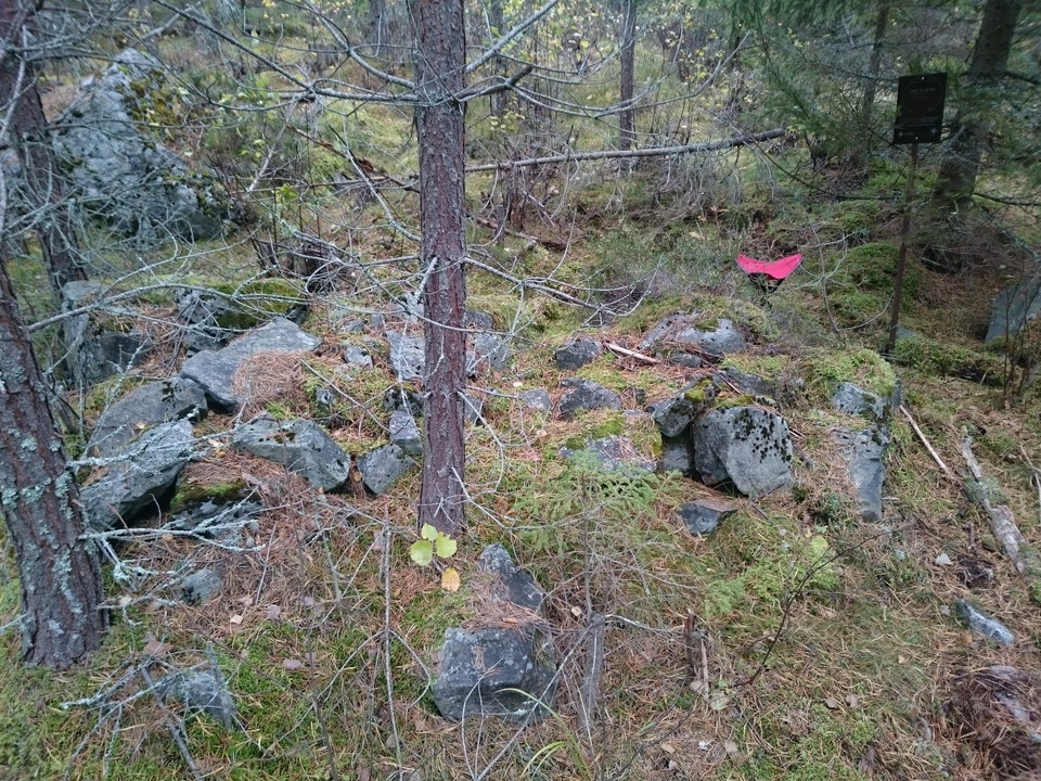
Röse n:o 1 is easily accessible from the forest road. On the map from 1754, the cairn is located directly west of the mine. Today 7.24 degrees to the south, probably because this was the misdirection then. The whole circle of cairns is twisted this angle co…

Forhistorisk/kulturarv

Fredsmilen röse 45

  • Kommune: Falun
  • 6648.12 km fra dig

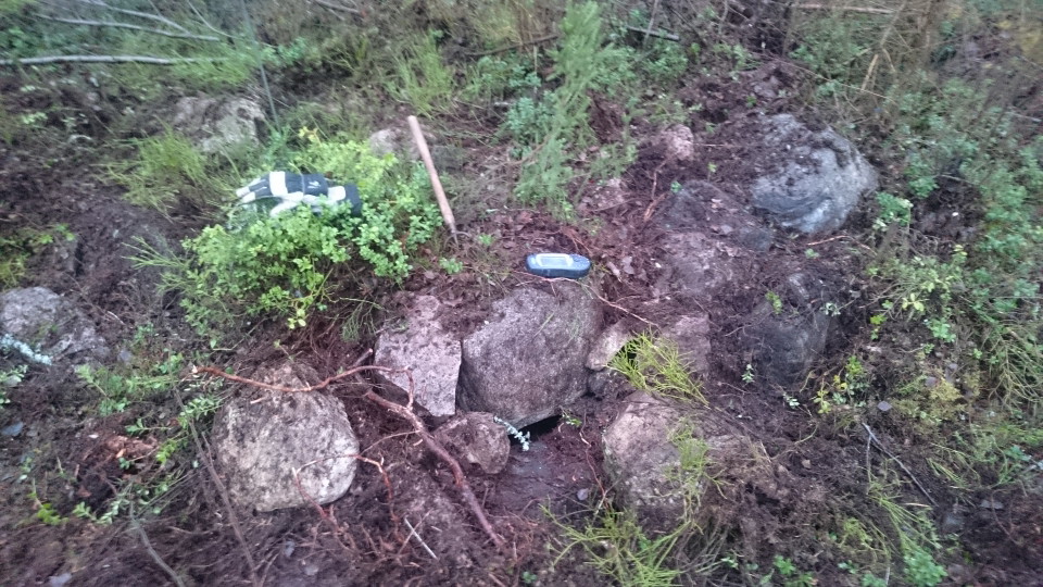
Ett fredsmilsliknande röse har påträffats vid den angivna positionen, men avstånd och vinkel till gruvan avviker från förväntat. Längre norrut finns en övermossad stensamling som stämmer bättre i position. Allmän information om Fredsmilen, se platsen "Freds…

Forhistorisk/kulturarv

Fredsmilen röse 54

  • Kommune: Falun
  • 6652.76 km fra dig

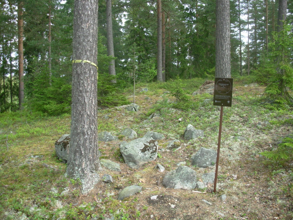
In a built-up area there are remains of what could be the Peace Crescent. For general information about the Peace Mile, see the site "History of the Peace Mile" or click on the Peace Mile circle in the map.

Naturkartan

Åbn dette i appen