
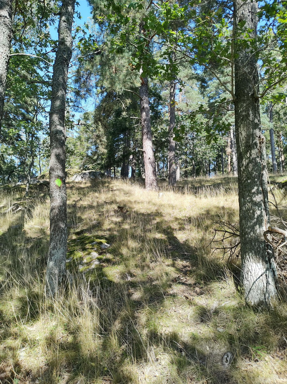


Tingshagenstigen
- Vandring
- Forhistorisk/kulturarv
- Amt: Stockholms län
- 6831.87 km fra dig
Ruteoplysninger
- Længde 2.4 km
- Sværhedsgrad Blå – mellem
Handlinger
Beskrivelse
Aktiviteter og faciliteter
- Vandring
- Forhistorisk/kulturarv
Overflade
Partly paved footpath, partly graveled roads and partly forest path.
Bakker
Easy hilly terrain in the forest
Parkering
Free visitor parking at Hågelbyparken
Paid visitor parking at Flottsbro
Kommunikation
By car you navigate to either Hågelbyparken if you want to start from there or to Flottsbro and take public transport back as it is a connecting road between the two areas.
If you go by public transport to Hågelbyparken, the Hågelby bus stop is directly adjacent to Hågelbyparken. From there you walk towards the parking lot where there is a large orientation map of all the trails to help you navigate to the Tingshage trail.
If you go by public transport to Flottsbro, take bus 714 from Huddinge. From there you walk past the bath towards Stendalspromenaden and follow it towards Alby along the footpath and turn off at the first signpost up towards the forest at the height of Avstickningsvägen.
Kontakt
E-mailadresse
Jonathan Kearney
Organisationens logotype

Jeg har været her 1

Jeg vil gerne derhen
Anmeldelser
—
0 anmeldelser
- 5 :
- 4 :
- 3 :
- 2 :
- 1 :
Spørgsmål og svar
Stil et spørgsmål til andre Naturkartan-brugere.
Brugernes billeder
Del dine billeder fra stedet!
