
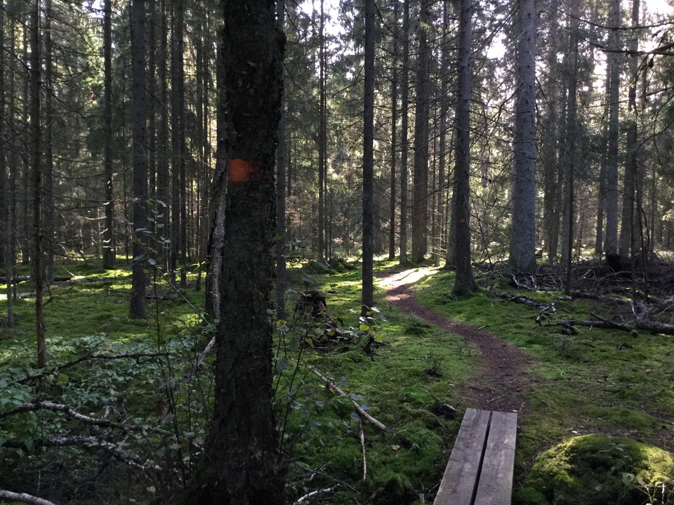
Rundslinga Gullringskärret
- Vandring
- Amt: Stockholms län
- 6851.17 km fra dig
Ruteoplysninger
- Længde 1.9 km
Handlinger
Beskrivelse
Aktiviteter og faciliteter
- Vandring
Fakta
Skyddat sedan: 1986
Storlek: 56 hektar
Karaktär: blandskog, vattendrag och våtmark
Kommun: Haninge
Markägare: Stockholms stift
Förvaltare: Länsstyrelsen
Skyddsform: naturreservat
Rutevejledning
You can access the hiking trail from either of the nature reserve's two entrances.
By public transit: Take commuter trail to Västerhaninge station. Or bus to Hanveden bus stop. From either station walk appprox. 1,4 km to the northern entrance. For current rail lines and timetables, see SL public transport, sl.se.
By car: Drive on Nynäsvägen road / Route 73 and take the Jordbro exit onto Route 259. Then take Södra Jordbrovägen road towards Gullringsvägen road. There is a parking lot next to the reserve.
Regler
In order to protect the Gullringskärret nature reserve, please respect the following rules.
Within the reserve, it is forbidden to:
- destroy or damage permanent natural structures or surfaces by drilling, cutting, blasting, carving, painting or similar,
- operate motorised vehicles outside of designated roads,
- pick or dig up plants,
- disturb wildlife (e.g. by climbing nesting trees, being in close proximity to burrows, trapping or killing mammals, birds, reptiles or amphibians),
- bring dogs or other pets that are not on a leash,
- make a fire,
- park outside of designated parking areas or park a motorhome or caravan,
- ride horses off trail in the forest,
- set up marked trails or orienteering controls,
- camp.
Kontakt
E-mailadresse
Länsstyrelsen i Stockholm
Organisationens logotype

Jeg har været her 3

Jeg vil gerne derhen 2
Anmeldelser
—
0 anmeldelser
- 5 :
- 4 :
- 3 :
- 2 :
- 1 :
Spørgsmål og svar
Stil et spørgsmål til andre Naturkartan-brugere.
Brugernes billeder
Del dine billeder fra stedet!
