
-
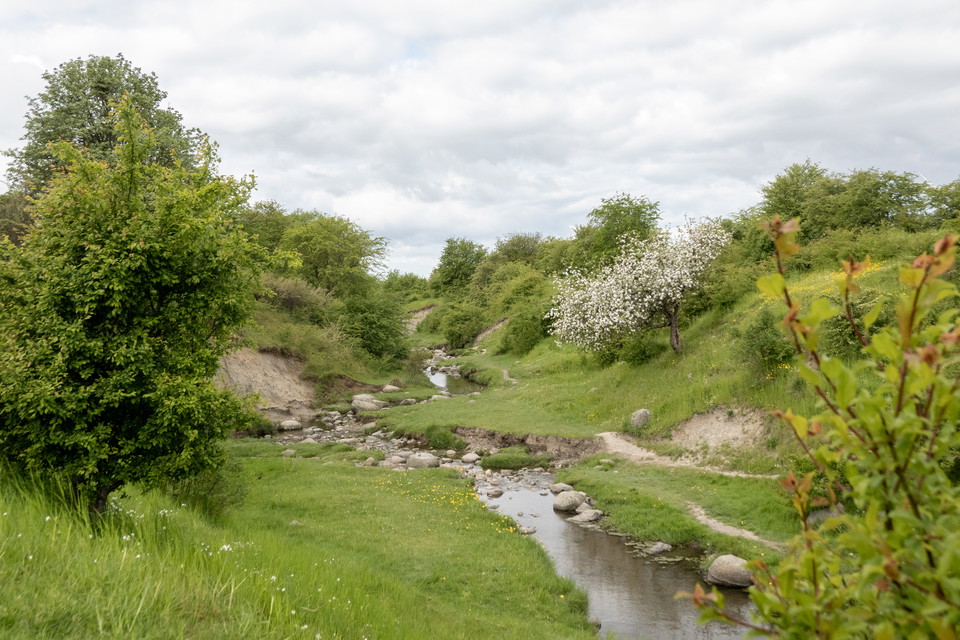
Vattnet har skapat dalen vi ser idag.
Foto: Johan Larsson -
-
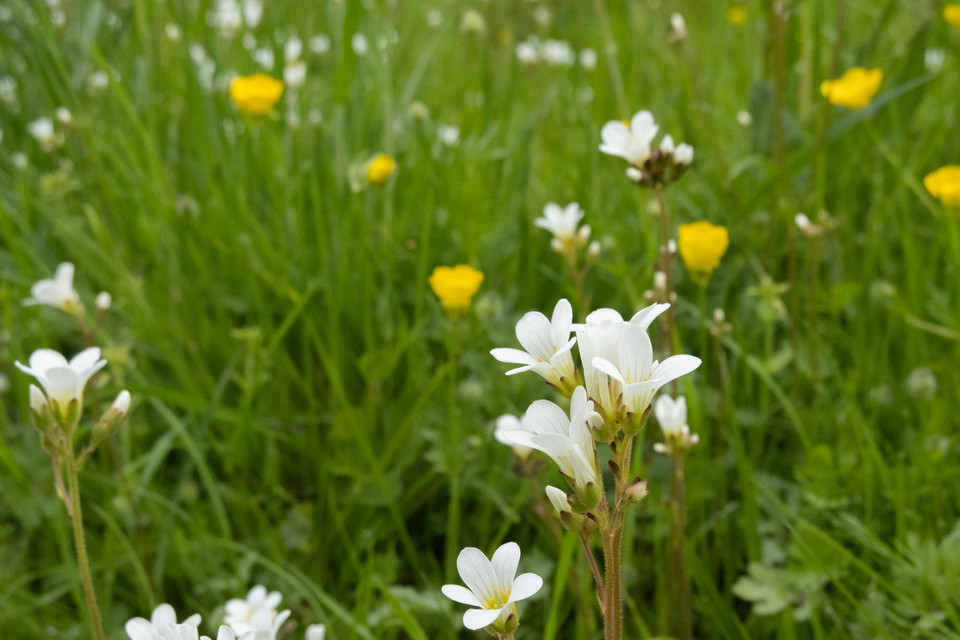
Mandelblomman gör backarna vitprickiga på våren.
Foto: Johan Larsson -
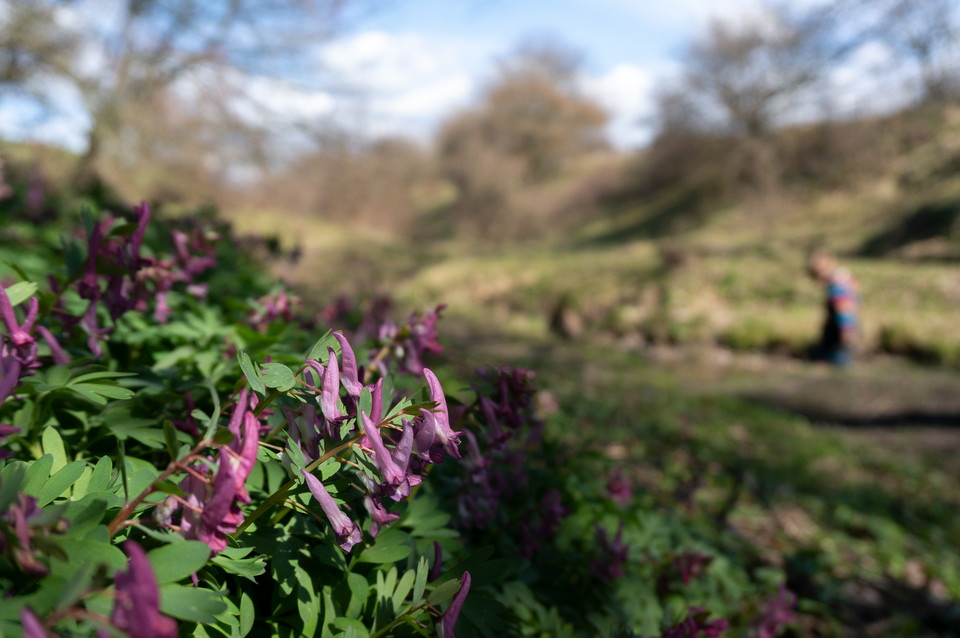
Nunneörten har hittat sin plats under en sälg.
Foto: Johan Larsson
Rinnebäcksravinen
- Naturreservat
- Amt: Skåne län
Handlinger
Beskrivelse
When the last ice sheet melted, the meltwater carved out the winding shape of the Rinnebäcksravin. Historically, the ravine was used as a drove road to bring grazing animals to and from the pastures. Today the area is used for recreation and for enjoying nature, although visitors still have to share the site with the grazing animals. Once down in the valley, it is easy to be transported back to ancient times and enjoy the babbling sound of the water and the flowers on the slopes.
The terrain is steep and difficult to access, but the adjacent cycle path on the south side and a mown grass strip on the north side allow most people to experience the area's charm. For those descending into the valley itself, proper footwear is recommended - after rain, welly boots or sturdy walking boots are recommended.

Aktiviteter og faciliteter
- Naturreservat
Fakta
The Rinnebäcksravinen is a remnant from historic grazing practices. The valley was used for a long time as a drove road to bring grazing animals to and from the pastures, and grazing has left its mark on the flora. The area is still grazed today, maintaining the species composition of plants such as meadow saxifrage, dwarf thistle, and spiny restharrow. The shrubs and trees are also typical of historic pastures, with scattered specimens of crab apple, wild cherry, hawthorn, and oak. This vegetation, in turn favours birds such as common whitethroat and linnet. Parts of the site are dominated by nutrient-rich flora including false oat grass, cock’s foot, common mouse-ear, and white clover.
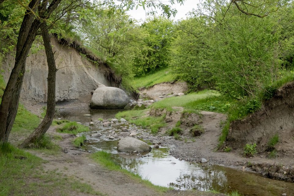
The area is also of geological interest. Down in the ravine, clay-rich moraine is exposed and kept visible by natural erosion - this is one of the few areas in Southwestern Skåne where this type of material is naturally exposed.
Kommunikation
The nearest bus stops are Ministervägen and Excellensen.
Rutevejledning
The nearest bus stops are Ministervägen and Excellensen. On Skånetrafiken's website or app you can search for a suitable route.
Regler
Within the area, special rules and restrictions apply to the right of public access.
For example, it is forbidden to
- have a dog unleashed
- make fires
- camping
- cycling
- ride a horse
**In addition to regulations and prohibitions in other laws and regulations, it is forbidden to
- dig or otherwise damage solid natural objects or surface formations.
- picking or digging up plants
- deliberately disturbing wildlife including grazing animals
- riding horses
- riding a bicycle
- making fires
- camping
- driving a motorized vehicle
- bring an unleashed dog
- put up a blackboard, poster, sign, poster, inscription, signpost or similar - information signs, reserve signs and boundary markers are excluded.
Kontakt
Adresse
Besöksadress: Brotorget 1, 221 00 Lund. Telefonnummer: 046-359 50 00.
E-mailadresse
Medborgarcenter Lunds kommun
Jeg har været her 8


Jeg vil gerne derhen 17

Spørgsmål og svar
Stil et spørgsmål til andre Naturkartan-brugere.
Anmeldelser
0 anmeldelser
- 5 :
- 4 :
- 3 :
- 2 :
- 1 :
Brugernes billeder
Der er endnu ingen brugerbilleder. Vær den første til at dele et!
