
Räfshalen naturområde Klippan
- Naturværdi
- Parkering i nærheden
- Amt: Skåne län
- 6774.41 km fra dig
Handlinger
Beskrivelse

Aktiviteter og faciliteter
- Naturværdi
Tilgængelighed
- Parkering i nærheden
Rutevejledning
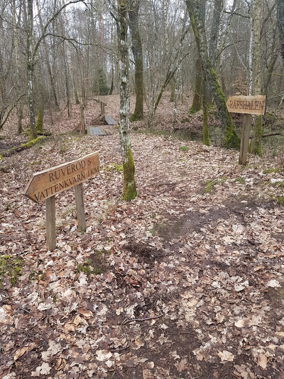
Follow the road from Riseberga church towards Perstorp. When you have passed Bandsjön and a large brown wooden house on the left (just over 1 km from Riseberga), after another 500 meters you come to a crossing road. About ten meters after this "four-way intersection", a small dirt road goes down to the left. There is a sign showing how to walk to Räfshalen and further towards Ruveröd's mill.
If you want to continue to Juskushall, follow the path to the left outside the fence. Once at Juskushall you will see a sign for Ruveröd.
If you come from road 108 between Spången and Hyllstofta, turn off towards Värgapet east. Drive about 1 km, you see Östra Sorrödssjön on the left and after another 500 meters you drive over Ybbarpsån and immediately turn right after the river. You are now at Ruveröds kvarn. Park your car here and go back over the bridge and turn left and follow the forest road straight ahead as described on the sign.
GPS coordinates
Decimal: 56.0847, 13.3074
Kontakt
E-mailadresse
Destination Rönne å och Ringsjön
Organisationens logotype

Jeg har været her
Jeg vil gerne derhen
Anmeldelser
—
0 anmeldelser
- 5 :
- 4 :
- 3 :
- 2 :
- 1 :
Spørgsmål og svar
Stil et spørgsmål til andre Naturkartan-brugere.
Brugernes billeder
Del dine billeder fra stedet!
