Uppvidinge

Bästa cykellederna för cykel och mountainbike i Uppvidinge

Naturkartan samlar de cykellederna i Uppvidinge som är populärast bland våra användare.

Kort

18 Bästa cykellederna för cykel och mountainbike i Uppvidinge

Cykling

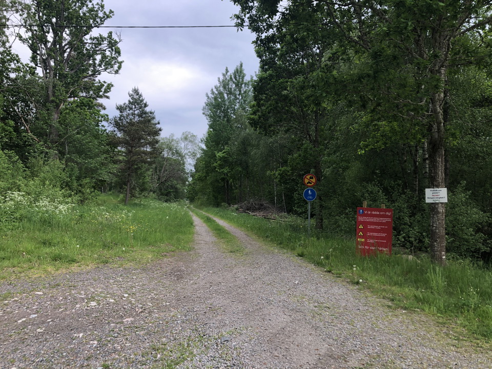
Banvall Lenhovda - Sävsjöström

  • Kommune: Uppvidinge
  • 6829.81 km fra dig
  • 8.0 km
  • Sværhedsgrad: Grøn

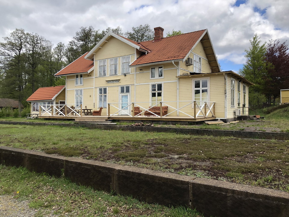
Sävsjöström used to be the home for the most modern sawmill in Kronoberg. It was called Framnässågen and you can still see the remains of the jitties that were used to transport the lumber. The sawmill was an important producer of railway sleepers that were…
Lysspor

Norrhults elljusspår

  • Kommune: Uppvidinge
  • 6815.97 km fra dig
  • 3.0 km
  • Sværhedsgrad: Grøn

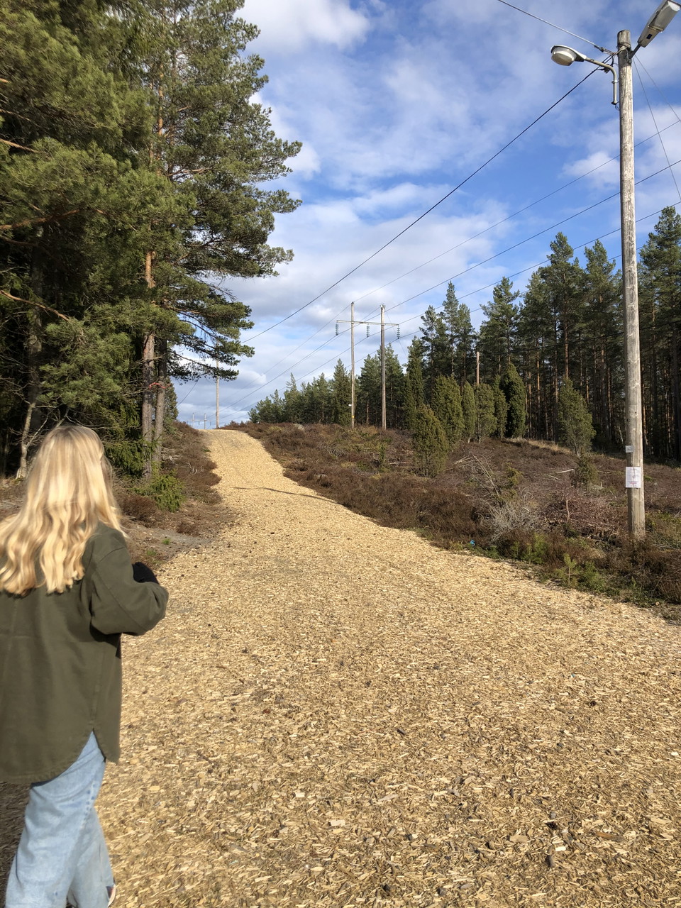
Norrhult’s floodlit trail is close to the Oxberget. It’s the municipality’s longest and is about 3 km. Norrhults BK responsible for the care of the trail.

Lysspor

Alstermo elljusspår

  • Kommune: Uppvidinge
  • 6848.60 km fra dig
  • 2.5 km
  • Sværhedsgrad: Blå

The lighted trail in Alstermo is about 2,5 km long. The trail is mostly in the forest. In the winter is there ski tracks if its cold enough. The trail has blue markings.

Cykling

Banvall Åseda (Slåttra) - Sävsjöström

  • Kommune: Uppvidinge
  • 6826.23 km fra dig
  • 20.0 km
  • Sværhedsgrad: Blå

Biking trail from Åseda (Slåttra) to Sävsjöström. The trail is 20 km and a small section of the old railway. Along the trail is there several information signs where you can learn more about the places. The trail goes through an area with many lakes with an…

Cykling

Banvall Sävsjöström - Målerås

  • Kommune: Uppvidinge
  • 6835.26 km fra dig
  • 15.0 km
  • Sværhedsgrad: Blå

Biking trail from Sävsjöström to Målerås. The trail is 15 km and a small section of the old railway. Along the trail is there several information signs where you can learn more about the places.

Vandring

Framtidsleden

  • Kommune: Uppvidinge
  • 6841.81 km fra dig
  • 47.0 km
  • Sværhedsgrad: Grøn

Framtidsleden (which means The Future hike) is a hike that guides you through three communities: Älghult, Alstermo and Målerås. The path is 38 km and you can choose to walk or take your bike. Framtidsleden shows you the beautiful everchanging landscapes of…

Cykling

Upptäcktsfärden i Norra Glasriket

  • Kommune: Uppvidinge
  • 6810.47 km fra dig
  • 100.0 km

A 2-day bike trail where you can discover several of the Glasriket's attractions in the northern Glasriket. The tour is also linked to a tour proposal that you can find via the link below.

Gåtur

Torp - Göljehult - Gymnasiet - rundan

  • Kommune: Uppvidinge
  • 6820.15 km fra dig
  • 6.9 km
  • Sværhedsgrad: Blå

This round is perfect for running or walking. It starts in Åseda and then passes by open fields, forests, lakes and meadows. If you're lucky you might see some animals! Start with taking the road towards Ösjöbol. After 3 km turn left towards Torp. A gravel…

Cykling

Nylundsrundan

  • Kommune: Uppvidinge
  • 6855.24 km fra dig
  • 10.2 km
  • 60
  • Sværhedsgrad: Blå

This is a shorter bike path where you mostly bike on gravel roads and smaller paved roads. The path takes you through the deep forests and you pass by the beautiful wooden church Fröseke chapel. If you want to you can take a detour and explore Bockaskruv’s…

Cykling

Krokhultsrundan

  • Kommune: Uppvidinge
  • 6857.62 km fra dig
  • 9.4 km
  • 50
  • Sværhedsgrad: Grøn

This is a bike path that goes mostly on smaller forests roads. A good starting point is the beach at Uvasjön where you can park the car.

Cykling

Uvahultsrundan

  • Kommune: Uppvidinge
  • 6858.11 km fra dig
  • 12.5 km
  • 70
  • Sværhedsgrad: Blå

This is a bike path that goes mostly on smaller forests roads. If you want can you stop at Hinkaryd’s nature reserve and explore the nature before you continue the trip.

Cykling

Höneskruvsrundan

  • Kommune: Uppvidinge
  • 6841.92 km fra dig
  • 18.5 km
  • 179
  • Sværhedsgrad: Blå

Höneskruv’s circular trail is a bike path with stunning nature and landscapes. In connection to Alsterån is there a windshield with a fireplace. To make your day on this path even better book a lunchbasket from Vidinge Gård and enjoy in the windshield!

Cykling

Våraskurvsrundan

  • Kommune: Uppvidinge
  • 6835.32 km fra dig
  • 28.0 km
  • Sværhedsgrad: Rød

If you're looking for a bike trail where you’ll see a lot, this is the trail for you! The path goes through Våraskruv’s nature reserve, passes by Kärgölsområdet’s nature reserve, and in the beautiful landscape along Alsterån. If you want to make the trip a…

Gåtur

Sjörundan

  • Kommune: Uppvidinge
  • 6829.08 km fra dig
  • 5.4 km

A nice walk around Lenhovda sjön. It starts on the old railway and then turns left where it crosses the road to Singelstorp. Follow the road until there is a small road to your left just before the big road. Follow that road and you'll soon be back in Lenho…

Cykling

Sjömillan-rundan

  • Kommune: Uppvidinge
  • 6822.35 km fra dig
  • 16.0 km
  • Sværhedsgrad: Grøn

Fancy a long walk, a family bike ride or a long run? Then the Sjömillan round is the perfect route. This route is about 16 kilometers long and goes through large forests and along meadows and lakes. Start the route in Åseda and head northeast on Östra vägen…

Bästa cykellederna för cykel och mountainbike i Uppvidinge

Naturkartan samlar de cykellederna i Uppvidinge som är populärast bland våra användare.

Naturkartan

Åbn dette i appen