Bästa vandringslederna i Karlskrona

Karlskrona

Naturkartan samlar de vandringslederna i Karlskrona som är populärast bland våra användare.

Billeder

Kort

50 Bästa vandringslederna i Karlskrona

Vandring

Vandringsrundor Skärvaleden & Nättrabyleden

  • Kommune: Karlskrona
  • 6887.31 km fra dig
  • 13.5 km
  • Sværhedsgrad: Blå

Varied circuits through forest, along the coast, along the beautiful Nättrabyån river and past housing, passing Skärva Gård, Skärva Herrgård, Nättraby church. The whole circuit without detours (see map) is 12 km, Skärvaleden on its own is 5 km. The trail is…
Vandring

Vandringsrunda Knösö

  • Kommune: Karlskrona
  • 6895.99 km fra dig
  • 2.4 km

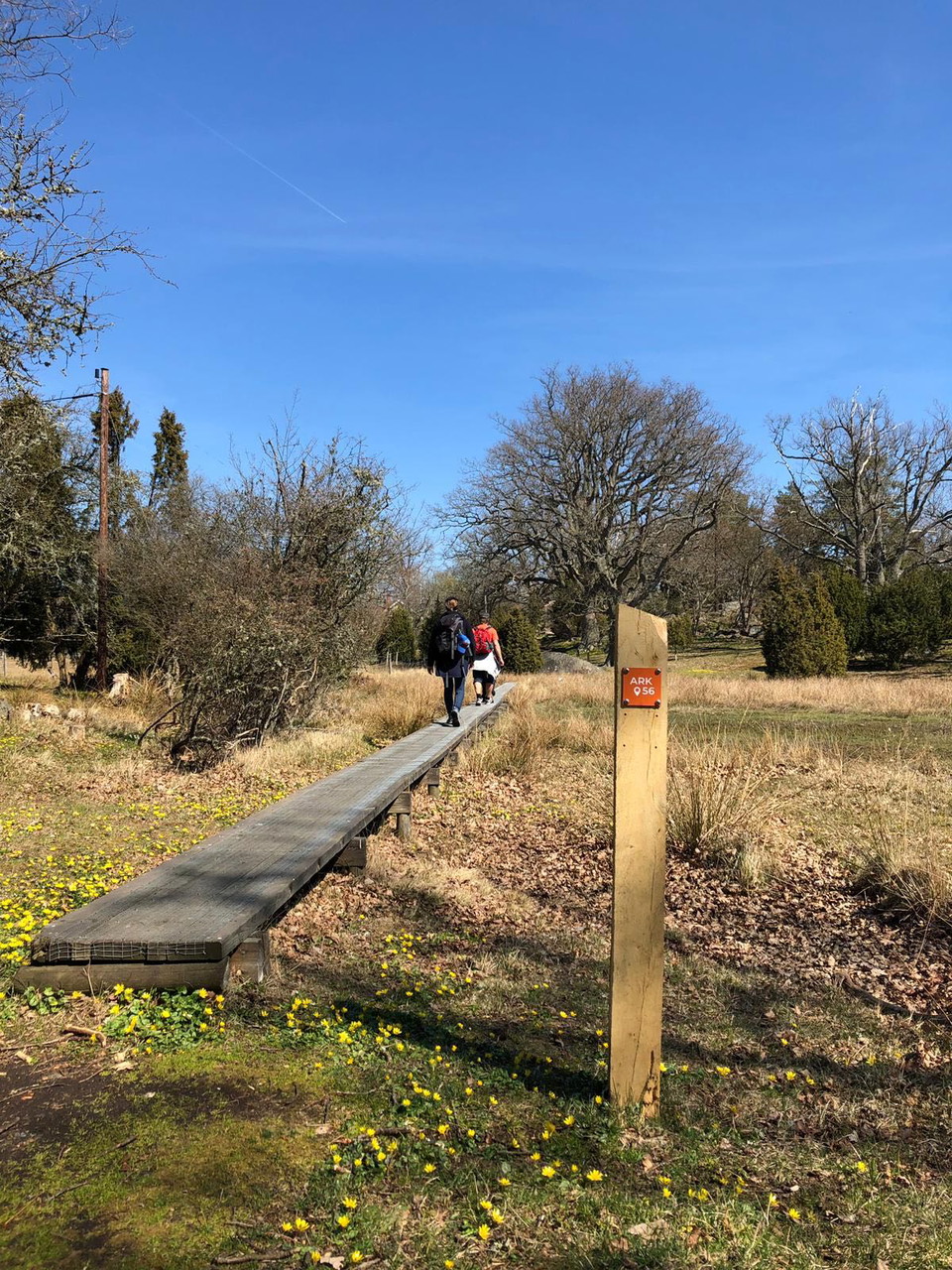
A beautiful walk with sea views. The trail runs through the lovely Knösö nature reserve with oaks and juniper in a hilly landscape grazed by sheep. Barbecue area in the southern part of the trail (see map). The path is mostly marked with orange posts and so…

Vandring

Vandringsrunda Wämöleden

  • Kommune: Karlskrona
  • 6890.65 km fra dig
  • 10.1 km
  • Sværhedsgrad: Grøn

Wämöleden is a walk that runs round the whole island of Wämö through houses, along the water’s edge and through wooded sections. The walk is well-signposted and marked in orange on trees and posts. It is accessible with pushchairs, rollators and electric wh…

Vandring

13 Mörtsjöåsen - Älmtasjön|Blekingeleden

  • Kommune: Karlskrona
  • 6891.29 km fra dig
  • 8.4 km
  • Sværhedsgrad: Blå

This lake-filled section from Mörtsjöåsen to Älmtasjön runs through a number of large lakes and smaller bodies of water in a rolling landscape with classic mixed woodland. Just south of Stora Åsjön the Bastasjöleden trail joins Blekingeleden from the south.…

Vandring

15 Kristianopel - Bröms | Blekingeleden

  • Kommune: Karlskrona
  • 6907.08 km fra dig
  • 10.2 km

A fantastic section running along the coast just a few kilometres into the forest. From the lively harbourside at Kristianopel to the sand dunes at Högasand, the peace stone in Bröms commemorating the peace treaty between Denmark and Sweden in 1645, and the…

Vandring

12 Alljungen - Mörtsjöåsen | Blekingeleden

  • Kommune: Karlskrona
  • 6876.30 km fra dig
  • 24.1 km
  • Sværhedsgrad: Blå

A lovely walk through varied woodland with running water, imposing beechwoods and working farms. Appreciate the beautiful varied character of the Lyckebyån river and the mixed woodland of the forested landscape. Far away from major towns, the forest somehow…

Vandring

Vandringsled Torhamns udde

  • Kommune: Karlskrona
  • 6909.77 km fra dig
  • 3.4 km

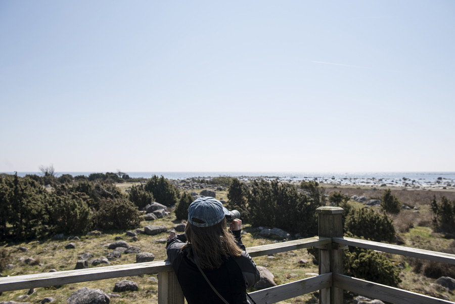
An easy access walk on the Torhamns Udde headland which is known for its birdlife. The path runs through fields of grass and coastal meadows with birdwatching towers along the way to stop off for a rest.

Vandring

Lyckåleden

  • Kommune: Karlskrona
  • 6893.47 km fra dig
  • 5.9 km
  • Sværhedsgrad: Blå

Hiking along the beautiful Lyckebyån, which meanders through lush nature. The Lyckåleden is about 6 km long and runs between Lyckåvallen, the sports ground in Lyckeby, in the south to Lyckåborg in the north. The trail goes through exciting and rich nature a…

Vandring

11 Skärsviken - Alljungen | Blekingeleden

  • Kommune: Karlskrona
  • 6869.13 km fra dig
  • 34.1 km
  • Sværhedsgrad: Blå

From the leaf-like bays of Listersjön lake in the south via the valley of the Nättrabyån river to the sprinkling of lakes in the forested landscape in the north. Walk through a historic landscape with attractive, typical Swedish farmsteads on ridges and hil…

Vandring

14 Älmtasjön - Kristianopel | Blekingeleden

  • Kommune: Karlskrona
  • 6896.49 km fra dig
  • 26.3 km
  • Sværhedsgrad: Blå

A walk from Älmtasjön to Kristianopel takes you through the highest parts of the forested landscape to the coastline and the water’s edge. The route runs from the stony deep forest where farming was difficult, via a landscape where mixed woodland and broadl…

Vandring

Vandringsrundor Hallarumsviken

  • Kommune: Karlskrona
  • 6904.97 km fra dig
  • 2.1 km
  • Sværhedsgrad: Blå

This walk offers bare rock with oak woodland, steep cliffs with farmed rift valleys and beautiful views across the archipelago. The rock plunges steeply down into the inlet from a height of 30 metres and there are clear traces of the effect of the inland ic…

Vandring

Barmarksled, Stora Rom

  • Kommune: Karlskrona
  • 6905.58 km fra dig
  • 1.3 km
  • Sværhedsgrad: Blå

A slightly shorter circular walk in the Stora Rom nature reserve, a bedrock plateau with ancient forest where oak is the most common tree, but which also contains rocky outcrops and bare rock. There are several historic places where boats were kept. Called…

Vandring

Hälsans stig - Karlskrona

  • Kommune: Karlskrona
  • 6891.49 km fra dig
  • 7.1 km

Vandra längs kajerna i Karlskrona. Många sevärdheter på vägen.

Vandring

Dackeleden 30km

  • Kommune: Karlskrona
  • 6879.23 km fra dig
  • 32.6 km

Dackeleden 30km Följ frihetskämpen Nils Dackes fotspår i bygderna – från fodgemord till flykt och död. Ca 30 km led, till fots eller cykel. NYHET! Ladda ner Torsåsappen och gör en tidsresa. I den här ljudguiden för vuxna och lite äldre barn, hör du den spän…

Bästa vandringslederna i Karlskrona

Naturkartan samlar de vandringslederna i Karlskrona som är populärast bland våra användare.

Naturkartan

Åbn dette i appen