Bästa vandringslederna i Hultsfred

Hultsfred

Naturkartan samlar de vandringslederna i Hultsfred som är populärast bland våra användare.

Billeder

Kort

45 Bästa vandringslederna i Hultsfred

Vandring

14. Officersdass

  • Kommune: Hultsfred
  • 6830.06 km fra dig

The officers had a rather large secret house called Blombacka, which still exists. According to the rules, no officer was allowed to leave the area around the officers' mess and the Trianon - bounded by a lilac hedge - without a sabre. This rule was a major…
Vandring

15. Lägerboden

  • Kommune: Hultsfred
  • 6830.13 km fra dig

The camp shed (trading shed) was built in the mid-1870s. It was owned by the officers' corps and rented to a local merchant. Here the conscripts could buy clothes, uniform caps, tobacco, snuff, sweets and much more. The building and its surroundings were kn…

Vandring

16. Officerskasernen

  • Kommune: Hultsfred
  • 6830.14 km fra dig

The building was added in 1864 and was two and a half storeys high. As the number of officers increased, two wings were built. After the extension, the barracks had 40 rooms. A violent fire on October 10, 1913 destroyed the officers' barracks. Some of the m…

Vandring

18. Arresten

  • Kommune: Hultsfred
  • 6830.11 km fra dig

Redan på 1830-talet fanns det en arrestlokal på Slätten. En ny arrest byggdes 1888 och hade nummerbeteckning 21. Om en beväring fick arrest hette det att han satt på ”tjugoettan”. Tv arresten och t h sjukhuset Huset hade sju arrestrum varav två med eldstad.…

Vandring

19. Gevärssmedjan

  • Kommune: Hultsfred
  • 6830.22 km fra dig

A rifle forge was something that a regiment could not be without. No one knows where the first forge was located, but in 1874, 100 older bayonet fencing rifles were sold at auction at the rifle forge. The present rifle forge was completed in 1888 and the bu…

Vandring

20. Nöjenas dal

  • Kommune: Hultsfred
  • 6830.25 km fra dig

The area was the focal point of the conscripts' entertainment events. Market jesters were allowed to set up their carousels and circus companies their tents here. But first you had to have the regimental commander's permission, and you usually got it for th…

Vandring

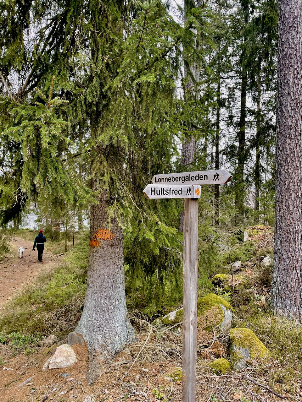
Lönnebergaleden LB1 - Eckerhult - Kvarntorpet - En del av Smålandsleden

  • Kommune: Hultsfred
  • 14.1 km
  • Sværhedsgrad: Blå

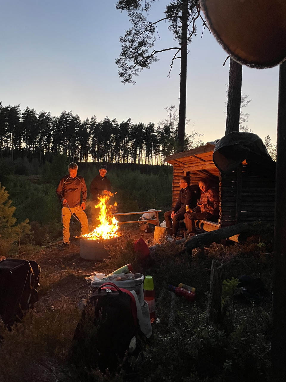
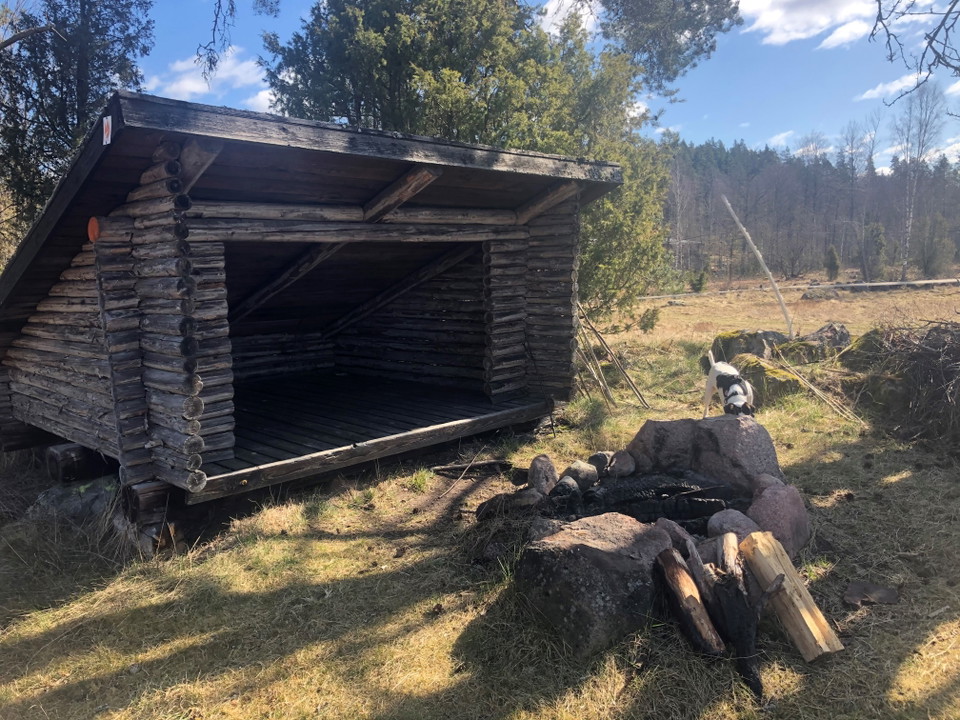
This stage offers a wonderful combination of nature, history, and the chance to relax by the water. Just before Igelhult and at Björnuddviken, there are great spots to take a break. Here you’ll find a wind shelter, a fire pit, a dry toilet, and a place to s…

Vandring

Lönnebergaleden etapp LB2 - Kvarntorpet - Visböle - En del av Smålandsleden

  • Kommune: Hultsfred
  • 10.5 km
  • Sværhedsgrad: Blå

On this stage, you’ll travel from Kvarntorpet to Visböle, or you can choose to turn off at Hästhagsgölen and head down to Hultsfred. You’ll pass Siselkällan, a spring that has been used as an emergency water source during several droughts and has never run…

Vandring

Lönnebergaleden etapp LB3 - Visböle - Gisseskalle - En del av Smålandsleden

  • Kommune: Hultsfred
  • 11.3 km
  • Sværhedsgrad: Rød

Along this stretch, you’ll pass Broastenen, a site that tells part of the area’s history. The trail then continues over a boulder ridge, a remnant of the Ice Age that gives the landscape its distinctive character. There are a total of three wind shelters al…

Vandring

Lönnebergaleden etapp LB 5 Lönneberga - Järnemåla - En del av Smålandsleden

  • Kommune: Hultsfred
  • 12.0 km
  • Sværhedsgrad: Blå

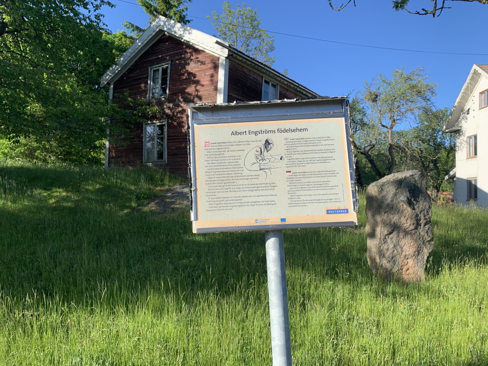
Along this stretch, you’ll pass Albert Engström’s birthplace in Bäckefall and Lammerhatten, a well-known nature area and a 210-meter-high hill. If you take a detour to Lönneberga, you’ll see a beautiful wooden statue of Emil in his carpenter’s shed, created…

Vandring

Emilleden etapp EL1 Filmbyn - Åkarp - En del av Smålandsleden

  • Kommune: Hultsfred
  • 18.2 km
  • Sværhedsgrad: Blå

This stage of the Emilleden trail offers a wonderful blend of cultural history and Småland’s natural beauty. We recommend starting at the Mariannelund & Hässleby Local History Museum, beautifully situated on an oak-covered hill. Here you’ll find several his…

Vandring

Emilleden etapp EL2 Åkarp-Filmbyn - En del av Smålandsleden

  • Kommune: Hultsfred
  • 19.6 km
  • Sværhedsgrad: Blå

This stage offers fascinating cultural history and stories about people and places that have left their mark on the region. At the local heritage farm, beautifully situated on an oak-covered hill, you can see several historic buildings and the famous stone-…

Bästa vandringslederna i Hultsfred

Naturkartan samlar de vandringslederna i Hultsfred som är populärast bland våra användare.

Naturkartan

Åbn dette i appen