
Pålsbenning, Naturreservat
- Naturreservat
- Amt: Dalarnas län
Handlinger
Beskrivelse
Pålsbenning is located a few kilometers southwest of Garpenberg. In the past, the reserve was used for teaching at Garpensberg’s now-defunct forestry college. Pålsbenning was the stand of forest closest to the college that most closely resembled natural forest.
Photo: Dalarna County Administrative Board
The forest is becoming more natural
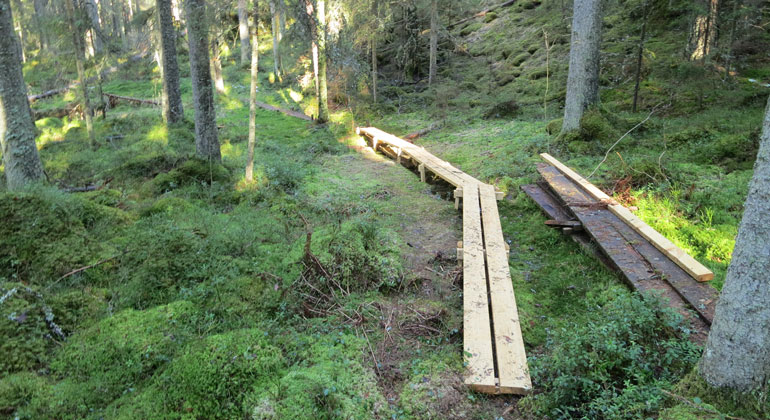
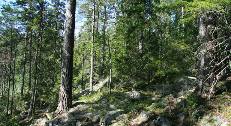
The coniferous forest has not been logged in the last 40 years, but there are many stumps throughout the area. Now, in some places, the forest is becoming more like a natural forest. This is mainly evident in the presence of numerous fallen trees (lying dead trees), especially in the southeastern part of the area. There are also many older trees here.
There aren’t many deciduous trees in the forest. However, there are larch trees that were likely planted.
Interesting wood-decay fungi, lichens, and flowers
On some of the fallen trees, woolly tinder fungus and rose tinder fungus grow. Violet-gray hair lichen is found on older, slow-growing spruce trees along the eastern edge of the mountain and at the very top of the northern slope. There is also string lichen and some common beard lichen here. And in the moss cover, knee-root and spiderwort grow in several places.
This is as far as the sea once reached
The highest parts of the landscape lie close to the highest coastline, and the moraine slopes may therefore have been washed by the waves. Sometimes the moraine may even have been reworked into wave-washed gravel or sand.
Cultural History
Pålsbenning borders Holmgruvan, a mining area classified as an ancient monument. The area consists of five mine shafts, a waste rock pile, and about ten mine pits. From the mining area, the remains of a cableway—also classified as an ancient monument—run through the nature reserve and up to Brattfors, just over 1.5 kilometers east of the reserve. Within the area, there are also traces of charcoal burning.
The 16-kilometer-long Reservatsleden trail runs through the reserve, connecting Pålsbenning with the Hässlen, Realsbo hage, and Blåberget nature reserves.
Aktiviteter og faciliteter
- Naturreservat
Fakta
Bildades: 2011Storlek: 42 haKommun: HedemoraFörvaltare: LänsstyrelsenNatura 2000: Ingår i EU-s nätverk av skyddad natur. Om Natura 2000
Rutevejledning
The area is located about 12 km east of Hedemora.
Regler
The following activities are prohibited in the reserve:
- Damaging growing or dead trees—whether standing or fallen—as well as stumps and shrubs. An exception is made for collecting loose, small, dry branches and twigs for the purpose of making a fire.
Without permission from the County Administrative Board, it is also prohibited to:
- dig up plants, pick mosses, lichens, and wood-dwelling fungi, or collect animals (such as insects)
- organize or conduct competitions, camp activities, and other large-scale or recurring organized events.
Click on the nature reserve’s name and select the “Documentation” tab to view the documents.
Kontakt
Adresse
E-mailadresse
Organisationens logotype

Jeg har været her
Jeg vil gerne derhen 1

Spørgsmål og svar
Stil et spørgsmål til andre Naturkartan-brugere.
Anmeldelser
0 anmeldelser
- 5 :
- 4 :
- 3 :
- 2 :
- 1 :
Brugernes billeder
Der er endnu ingen brugerbilleder. Vær den første til at dele et!
